Download
3D Flyover
Add to list
More
55.9 km
~3 days
2341 m
Multi-Day
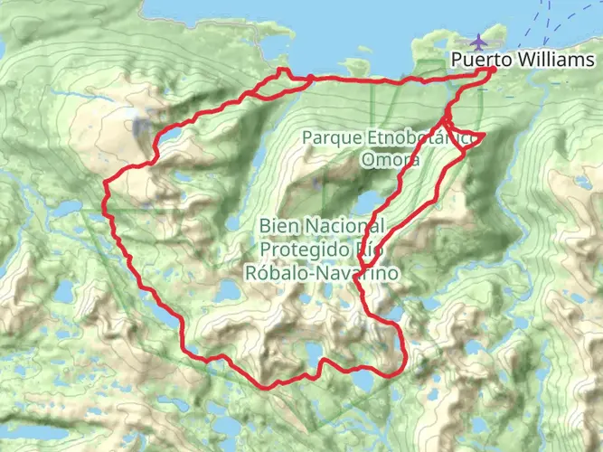
The Sierra Valdivieso Circuit is a 55.9 km trail that starts in , Acceso, Argentina. Based on our data, the hike is graded as Extra Difficult. For information on how we grade trails, please read measuring the difficulty of a hiking trail on hiiker. Also, check our latest community posts for trail updates. This hike can be completed in approx 3 days. Caution is advised on trail times as this depends on multiple variables. For more info read about how we calculate hike time.

Frequently asked questions
How long does the Sierra Valdivieso Circuit take to hike?
The Sierra Valdivieso Circuit is 55.89 km long with 2,341 m of elevation gain, so it is usually treated as a 3- to 4-day backpacking route. A common pace is about 4 days, which fits the trail’s multi-day format and the demanding terrain around the Ushuaia area.
How difficult is the Sierra Valdivieso Circuit in Argentina?
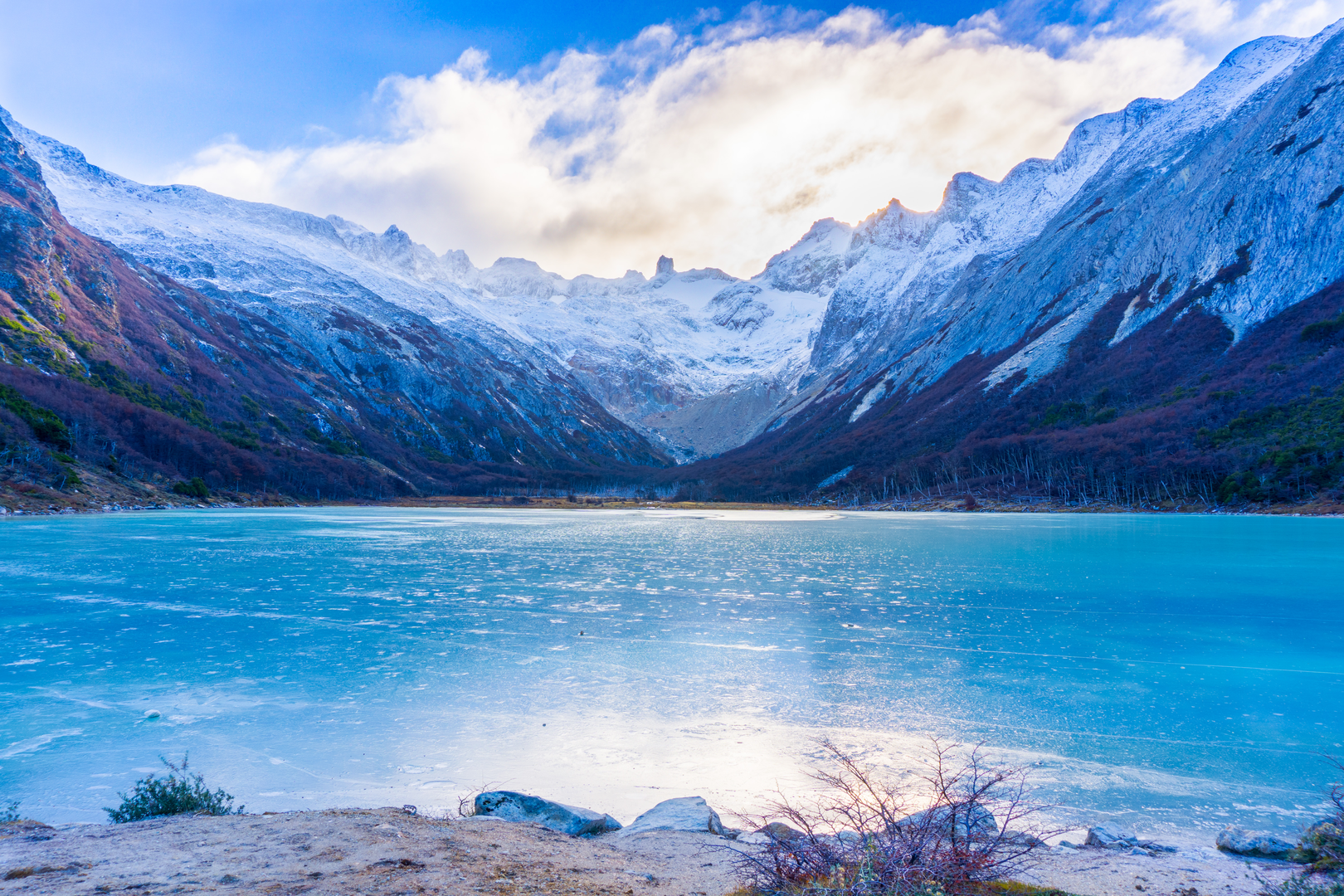
The Sierra Valdivieso Circuit is graded Extra Difficult. Over 55.89 km it gains 2,341 m, and the route is known for remote, rugged terrain near Ushuaia, with sections that are poorly marked or faint, so it is best suited to experienced backpackers with solid navigation skills.
Is camping allowed on the Sierra Valdivieso Circuit?
The Sierra Valdivieso Circuit is commonly done as a multi-day camping trek, and hikers typically camp out along the route rather than using developed hut infrastructure. Stage information for the circuit includes unofficial campsites in Tierra del Fuego Province, which matches the trail’s usual 3- to 4-day itinerary.
Where does the Sierra Valdivieso Circuit start near Ushuaia?
The Sierra Valdivieso Circuit is in the Ushuaia area of Tierra del Fuego, Argentina. Route descriptions commonly place the start near Laguna Esmeralda outside Ushuaia, and stage data for the circuit places the beginning in Departamento Ushuaia, making it one of the more accessible remote multi-day treks from the city.
When is the best time of year to hike the Sierra Valdivieso Circuit?
The usual hiking season for the Sierra Valdivieso Circuit is the Southern Hemisphere summer, roughly November through February. That window gives the longest daylight and the most practical conditions for a 55.89 km route in Tierra del Fuego, where weather can still change quickly even in midsummer.
Is there a map for the Sierra Valdivieso Circuit?
A mapped route is available for the Sierra Valdivieso Circuit, and navigation matters on this hike because parts of the route can become faint or poorly marked. That is especially important on a 55.89 km Extra Difficult circuit with 2,341 m of climbing in remote terrain near Ushuaia.
Comments and Reviews
User comments, reviews and discussions about the Sierra Valdivieso Circuit, Argentina.
4.2
average rating out of 5
5 rating(s)