Download
3D Flyover
Add to list
More
10.8 km
~2 hrs 43 min
337 m
Multi-Day
“Embark on a historical hike through Alabama's diverse landscapes on the scenic Cave Creek Trail Pinhoti Loop.”
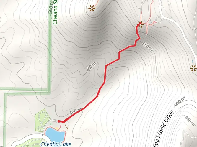
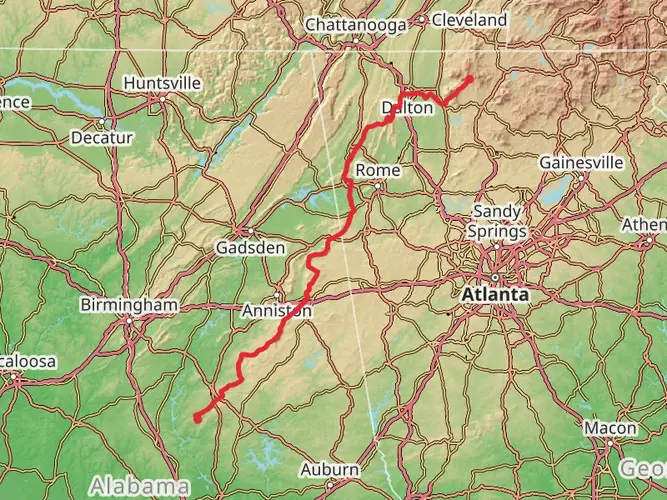
The Cave Creek Trail Pinhoti Trail Loop is a moderately challenging hike that spans approximately 11 kilometers (about 6.8 miles) with an elevation gain of around 300 meters (roughly 984 feet). This loop trail is nestled in the scenic Talladega National Forest near Clay County, Alabama, offering hikers a diverse experience through rolling hills, lush woodlands, and alongside the serene Cave Creek.
Getting to the Trailhead To reach the trailhead, you can drive to the Cheaha State Park, which is the closest landmark. From there, follow the signs to the Cave Creek Trail, which begins near the park's entrance. If you're using public transportation, the nearest major city with bus services is Anniston, Alabama. From Anniston, you would need to arrange a taxi or a shuttle service to take you to Cheaha State Park, as there is no direct public transport link to the trailhead.
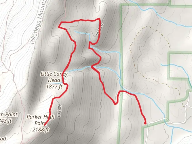
Navigating the Trail As you embark on the trail, you'll find that the path is well-marked, but carrying a reliable navigation tool like HiiKER can enhance your experience by providing real-time trail maps and waypoints. The loop can be hiked in either direction, but many choose to hike counterclockwise to tackle the steeper sections earlier in the journey.
Natural Features and Wildlife The trail meanders through a variety of terrains, including dense hardwood forests, which are particularly stunning during the fall when the leaves change color. You'll cross several small streams, which can be a good source of water if you have a filter. The area is home to a rich array of wildlife, including white-tailed deer, wild turkeys, and various bird species, so keep your eyes peeled and your camera ready.
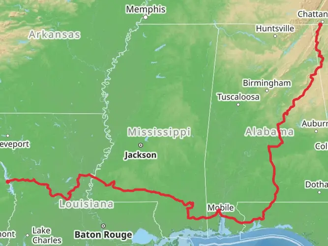
Historical Significance The region holds historical significance as part of the Pinhoti Trail, which is a crucial segment of the Eastern Continental Trail that stretches from Florida to Newfoundland. The area around the trail was once inhabited by the Creek Indians, and later it played a role in Alabama's mining and logging industry.
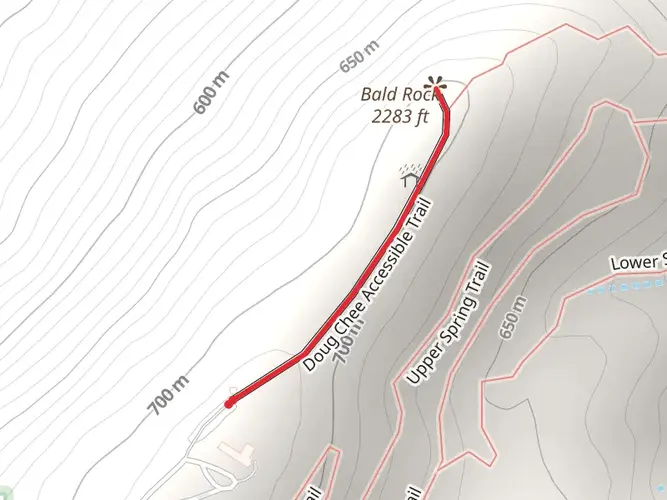
Landmarks and Points of Interest Approximately halfway through the hike, you'll encounter the Cave Creek itself, which is a perfect spot to rest and enjoy the tranquil sounds of flowing water. The trail also offers several vantage points with panoramic views of the surrounding forest and hills. One of the highlights is McDill Point, which provides a breathtaking overlook and is an ideal place for a mid-hike snack or lunch.
Preparation and Safety Before setting out, ensure you have adequate water, as sources along the trail may be seasonal. Also, pack layers of clothing since temperatures can vary, especially if you're starting early in the morning or hiking during the cooler months. It's wise to inform someone of your hiking plans and expected return time.
Remember, the Cave Creek Trail Pinhoti Trail Loop offers a rewarding experience for those looking for a day hike that features both natural beauty and a touch of history. With proper preparation and a sense of adventure, this trail is sure to provide a memorable outing.

Frequently asked questions
How long is the Cave Creek Trail Pinhoti Trail Loop in Clay County, Alabama?
The Cave Creek Trail Pinhoti Trail Loop is 10.82 km long, which is about 6.7 miles. It is generally considered a medium-difficulty route, with 337 m of elevation gain, so it is closer to a solid half-day hike than a short walk.
How difficult is the Cave Creek Trail Pinhoti Trail Loop and how much climbing does it have?
The Cave Creek Trail Pinhoti Trail Loop is rated medium and includes 337 m of ascent, or roughly 1,106 feet. That amount of climbing over 10.82 km makes it a moderate outing with enough elevation change to feel strenuous in places, especially on steeper forested sections.
Where does the Cave Creek Trail Pinhoti Trail Loop start near Cheaha State Park?
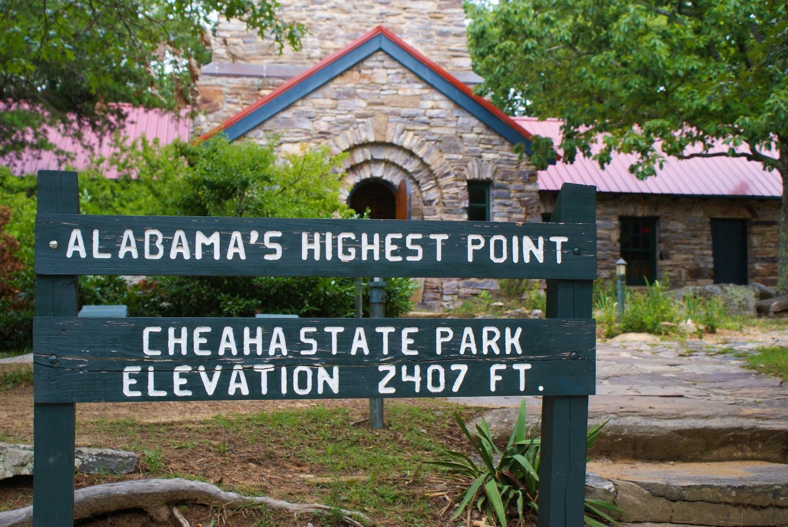
The loop is in the Cheaha area of Talladega National Forest in Clay County, Alabama, and the usual access point is near Cheaha State Park. Cheaha sits by Alabama State Route 281 on the Talladega Scenic Drive, close to Cheaha Mountain, Alabama’s highest point at 2,407 feet, making the park the main landmark for reaching the trail area.
Is the Cave Creek Trail Pinhoti Trail Loop a day hike or an overnight backpacking route?
At 10.82 km, the Cave Creek Trail Pinhoti Trail Loop is a manageable day hike for most hikers, but it is also classified as a multi-day trail. That usually means the route sits within a larger backcountry trail network, including the Pinhoti Trail in Talladega National Forest, so it can be part of a longer overnight itinerary.
What kind of scenery is on the Cave Creek Trail Pinhoti Trail Loop?
The route combines wooded mountain terrain with creekside sections in the Cheaha area of Talladega National Forest. Hikers can expect upland forest, rolling hills, and streamside scenery around Cave Creek, with the broader area known for rugged low mountains, shady hollows, and panoramic viewpoints near Cheaha.
Is the Cave Creek Trail Pinhoti Trail Loop in Talladega National Forest?
Yes. The Cave Creek Trail Pinhoti Trail Loop is in Clay County within the Cheaha area of Talladega National Forest. The forest’s Talladega and Shoal Creek divisions are known for upland hills and low mountains with moderately steep slopes, which matches the terrain hikers encounter on this loop.
Comments and Reviews
User comments, reviews and discussions about the Cave Creek Trail Pinhoti Trail Loop, Alabama.
4.6
average rating out of 5
15 rating(s)