Search a hike or location

search
Share:

kerry

Number of hikes: 26 · Created over 2 years ago

share

Carrauntoohil via O'Sheas Gully
Difficult
Carrauntoohil via O'Sheas Gully

County Kerry, Ireland

Distance

13.1 km

Duration

4 hrs 14 min

Elevation

974 m

Carrauntoohil via Coomloughra Horseshoe
Difficult
Carrauntoohil via Coomloughra Horseshoe

County Kerry, Ireland

Distance

12.9 km

Duration

4 hrs 20 min

Elevation

1065 m

The Paps via Glannafreaghaun Lough
Difficult
The Paps via Glannafreaghaun Lough

County Kerry, Ireland

Distance

7.5 km

Duration

2 hrs 31 min

Elevation

621 m

Derryname Loop via The Kerry Way
Easy
Derryname Loop via The Kerry Way

County Kerry, Ireland

Distance

8.0 km

Duration

1 hrs 55 min

Elevation

201 m

Mullaghnarakill and Beenmore Loop from The Kerry Way
Distance

12.2 km

Duration

3 hrs 33 min

Elevation

671 m

Caher and Caher West Top Loop via The Kerry Way
Difficult
Caher and Caher West Top Loop via The Kerry Way

County Kerry, Ireland

Distance

9.7 km

Duration

3 hrs 19 min

Elevation

828 m

The Paps - Caherbarnagh Loop
Difficult
The Paps - Caherbarnagh Loop

County Kerry, Ireland

Distance

23.5 km

Duration

2 days

Elevation

1153 m

Caherbarnagh Mountain Loop
Difficult
Caherbarnagh Mountain Loop

County Kerry, Ireland

Distance

6.1 km

Duration

2 hrs

Elevation

475 m

Carrauntoohil via The Heavenly Gates
Difficult
Carrauntoohil via The Heavenly Gates

County Kerry, Ireland

Distance

11.9 km

Duration

3 hrs 47 min

Elevation

850 m

Gleninchiquin Mountain Loop
Medium
Gleninchiquin Mountain Loop

County Kerry, Ireland

Distance

14.0 km

Duration

4 hrs 9 min

Elevation

825 m

Purple Mountain
Difficult
Purple Mountain

County Kerry, Ireland

Distance

15.0 km

Duration

4 hrs 26 min

Elevation

867 m

Stradbally Mountain Loop
Medium
Stradbally Mountain Loop

County Kerry, Ireland

Distance

26.0 km

Duration

2 days

Elevation

913 m

Knocknacusha Mountain Walk
Difficult
Knocknacusha Mountain Walk

County Kerry, Ireland

Distance

2.6 km

Duration

55 min

Elevation

247 m

Kerry Camino - 3 Day Tour
Medium
Kerry Camino - 3 Day Tour

County Kerry, Ireland

Distance

59.1 km

Duration

5 days

Elevation

1246 m

Cnoc na Peist via Lough Googh Loop
Extra Difficult
Cnoc na Peist via Lough Googh Loop

County Kerry, Ireland

Distance

10.4 km

Duration

3 hrs 52 min

Elevation

1070 m

Cronin's Yard Loop
Medium
Cronin's Yard Loop

County Kerry, Ireland

Distance

6.3 km

Duration

1 hrs 42 min

Elevation

267 m

Cruach Mhór
Extra Difficult
Cruach Mhór

County Kerry, Ireland

Distance

6.7 km

Duration

2 hrs 33 min

Elevation

738 m

Cnoc na Péiste
Extra Difficult
Cnoc na Péiste

County Kerry, Ireland

Distance

8.5 km

Duration

3 hrs 13 min

Elevation

918 m

Cnoc na Toinne
Medium
Cnoc na Toinne

County Kerry, Ireland

Distance

11.9 km

Duration

3 hrs 30 min

Elevation

676 m

Crohane Mountain Walk
Difficult
Crohane Mountain Walk

County Kerry, Ireland

Distance

6.8 km

Duration

2 hrs 7 min

Elevation

460 m

Crohane Mountain Loop
Difficult
Crohane Mountain Loop

County Kerry, Ireland

Distance

15.3 km

Duration

2 days

Elevation

911 m

Carrigawaddra and Crohane Loop from Kilbonane
Medium
Carrigawaddra and Crohane Loop from Kilbonane

County Kerry, Ireland

Distance

14.1 km

Duration

4 hrs 7 min

Elevation

786 m

Purple and Tomies Mountain
Difficult
Purple and Tomies Mountain

County Kerry, Ireland

Distance

7.0 km

Duration

2 hrs 31 min

Elevation

671 m

The Paps East and The Paps West Walk
Difficult
The Paps East and The Paps West Walk

County Kerry, Ireland

Distance

8.3 km

Duration

2 hrs 35 min

Elevation

561 m

The Paps East Walk
Difficult
The Paps East Walk

County Kerry, Ireland

Distance

4.9 km

Duration

1 hrs 42 min

Elevation

443 m

Nire Valley Trails - Sgilloges Walk
Medium
Nire Valley Trails - Sgilloges Walk

County Waterford, Ireland

Distance

6.7 km

Duration

1 hrs 53 min

Elevation

333 m

Comments

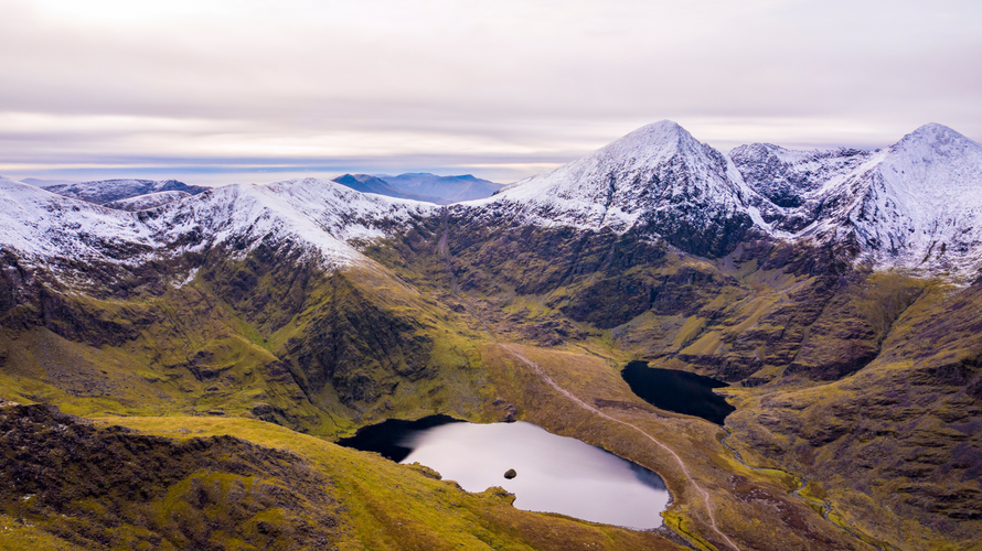
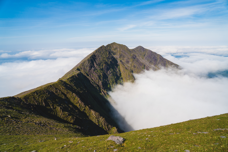
User comments and discussions about kerry .

0 comment(s)