17.1 km
~4 hrs 50 min
852 m
Download
Preview
Add to list
More
“Embark on a scenic adventure through lush forests and historic peaks in the Bavarian Forest.”
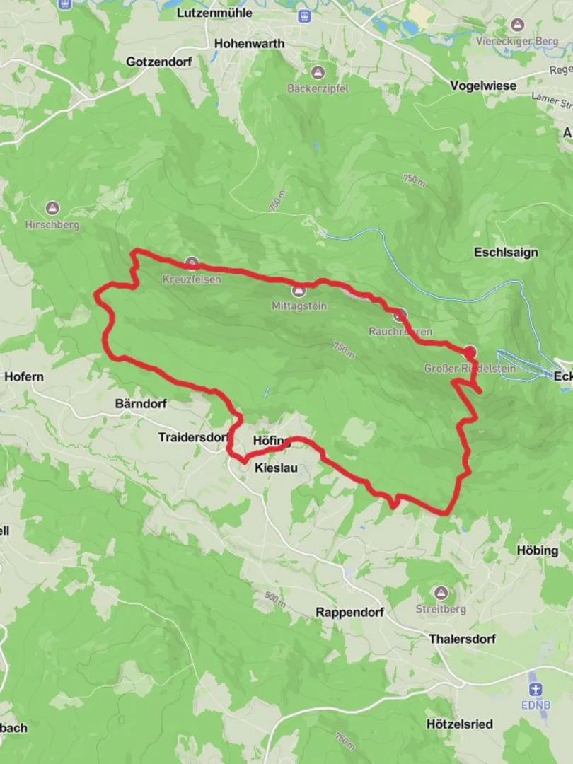
Nestled in the picturesque Bavarian Forest, the Hofing, Kleiner Riedelstein, Mittagstein, and Plattenstein Loop offers a captivating journey through diverse landscapes and historical sites. This 17 km (approximately 10.5 miles) loop trail, with an elevation gain of around 800 meters (about 2,625 feet), is a medium-difficulty hike that promises both challenge and reward. The trailhead is conveniently located near Cham, Germany, making it accessible for both local and international hikers.
Getting There
For those traveling by car, Cham is well-connected via the A3 and A93 highways. Ample parking is available near the trailhead, which is situated close to the village of Hofing. If you prefer public transport, Cham is accessible by train from major cities like Munich and Regensburg. From Cham, local buses or a short taxi ride can take you to the starting point of the hike.
Trail Highlights
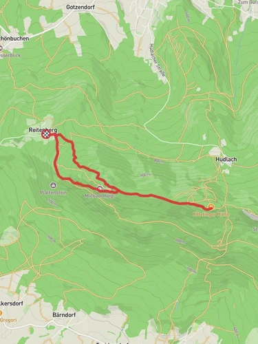
Hofing to Kleiner Riedelstein
The journey begins in the quaint village of Hofing, where the trail meanders through lush forests and rolling hills. As you ascend towards Kleiner Riedelstein, approximately 5 km (3.1 miles) into the hike, you'll be greeted by panoramic views of the Bavarian Forest. This section of the trail is characterized by dense woodlands, home to a variety of wildlife including deer and numerous bird species. Keep an eye out for the vibrant flora, especially during spring and summer when wildflowers are in full bloom.
Mittagstein and Historical Significance
Continuing on, the trail leads to Mittagstein, a notable peak offering breathtaking vistas of the surrounding valleys. This area holds historical significance, as it was once a strategic lookout point. The remnants of old fortifications can still be seen, providing a glimpse into the region's past. At around 10 km (6.2 miles) into the hike, Mittagstein serves as an ideal spot for a rest, allowing hikers to soak in the serene beauty and reflect on the historical importance of the site.
Plattenstein and Return Loop
The final leg of the journey takes you to Plattenstein, where the trail begins its descent back towards Hofing. This section is approximately 7 km (4.3 miles) and features a mix of rocky paths and gentle slopes. The geological formations here are fascinating, with unique rock outcrops that tell the story of the area's ancient origins. As you make your way back, the trail offers glimpses of local villages and farmlands, providing a peaceful conclusion to the hike.
Navigation and Safety
For navigation, the HiiKER app is an invaluable tool, offering detailed maps and real-time updates to ensure you stay on track. The trail is well-marked, but it's always wise to have a reliable navigation aid. Weather in the Bavarian Forest can be unpredictable, so be prepared with appropriate clothing and gear. The trail is best enjoyed from late spring to early autumn, when conditions are most favorable.
This loop trail is a perfect blend of natural beauty, historical intrigue, and physical challenge, making it a must-visit for any hiking enthusiast exploring the Bavarian Forest region.

Reviews
User comments, reviews and discussions about the Hofing, Kleiner Riedelstein, Mittagstein and Plattenstein Loop, Germany.
0.0
average rating out of 5
0 rating(s)