Download
Preview
Add to list
More
6.8 km
~2 hrs 8 min
467 m
Out and Back
“Experience a 7 km scenic hike through lush forests and historic landmarks near Cham, Germany.”
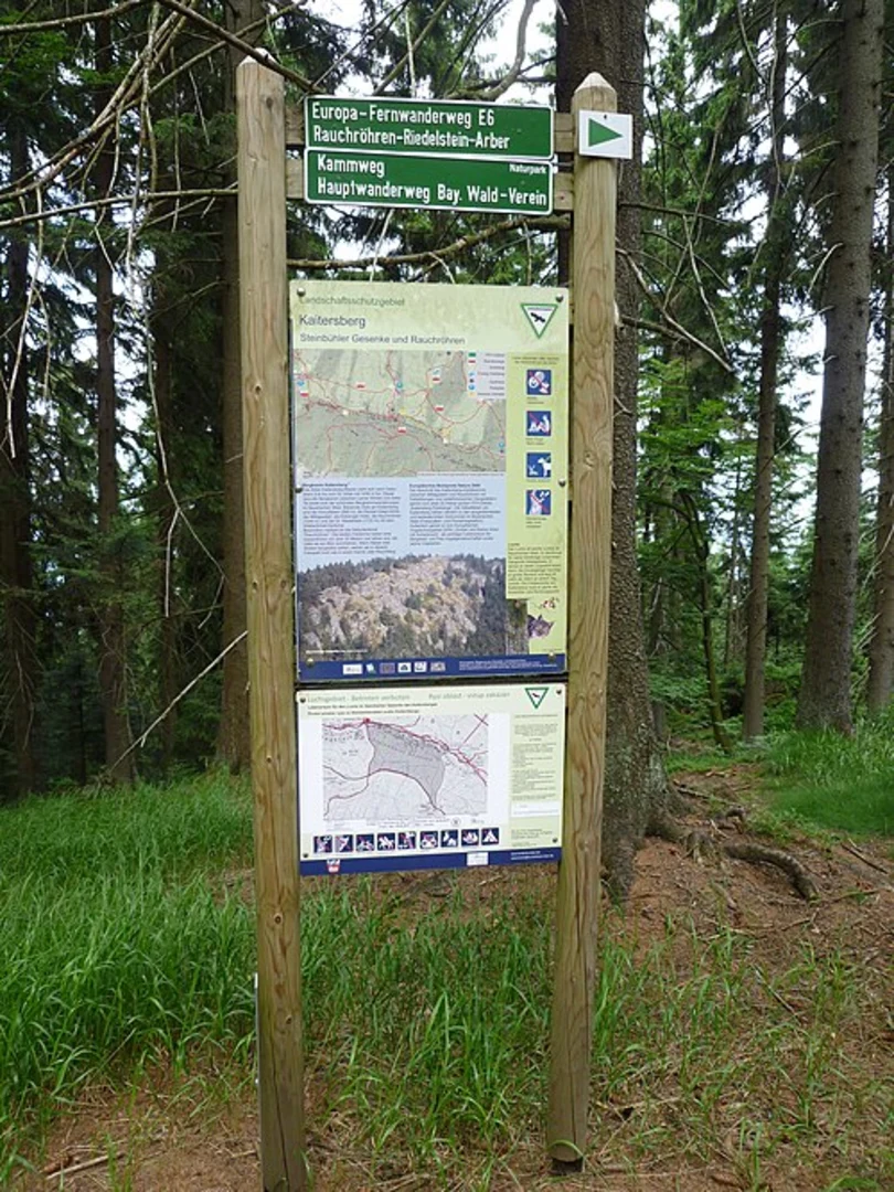
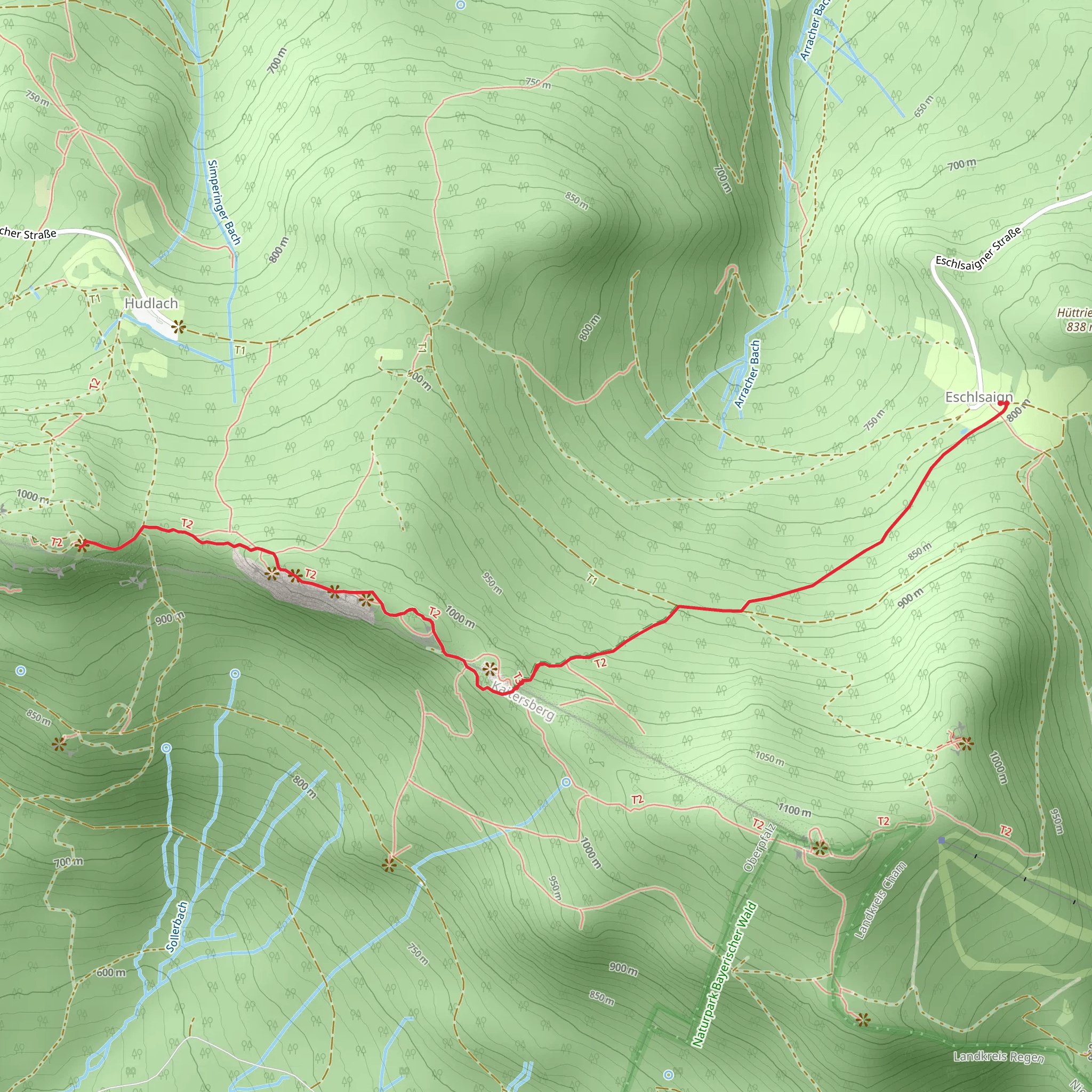
Starting your hike near Cham, Germany, the Rauchrohren, Steinbuhler Gesenke, and Mittagstein Walk offers a delightful 7 km (4.35 miles) out-and-back journey with an elevation gain of around 400 meters (1,312 feet). This trail is rated medium in difficulty, making it suitable for moderately experienced hikers.### Getting There To reach the trailhead, you can drive or use public transport. If driving, set your GPS to Cham, Germany, and follow local signage to the trailhead. For public transport, take a train to Cham station and then a local bus or taxi to the trailhead. The nearest significant landmark is the town of Cham itself, which is well-connected by regional trains.### Trail Overview The trail begins with a gentle ascent through lush forests, providing a serene atmosphere right from the start. As you progress, the path becomes steeper, leading you through a mix of deciduous and coniferous trees. The forest floor is often carpeted with ferns and wildflowers, especially in the spring and summer months.### Key Landmarks and Points of Interest - Rauchrohren: Approximately 2 km (1.24 miles) into the hike, you'll reach Rauchrohren, a rocky outcrop offering panoramic views of the surrounding Bavarian countryside. This is a great spot for a short break and some photography. - Steinbuhler Gesenke: Continuing for another 1.5 km (0.93 miles), you'll come across Steinbuhler Gesenke, a series of impressive rock formations. These natural sculptures are a testament to the geological history of the region and provide a unique backdrop for your hike. - Mittagstein: The final landmark, Mittagstein, is reached after another 1.5 km (0.93 miles). This peak offers stunning views and is a perfect spot for a picnic. The elevation gain to this point is around 400 meters (1,312 feet), so be prepared for a bit of a workout.### Flora and Fauna The trail is rich in biodiversity. Keep an eye out for deer, foxes, and a variety of bird species. The flora includes oak, beech, and pine trees, along with seasonal wildflowers like bluebells and daisies.### Historical Significance The region around Cham has a rich history dating back to medieval times. The trail itself passes through areas that were once significant trade routes. The rock formations at Steinbuhler Gesenke have been studied for their geological importance, providing insights into the Earth's history.### Navigation and Safety For navigation, it's recommended to use the HiiKER app, which provides detailed maps and real-time updates. The trail is well-marked, but having a reliable navigation tool ensures you stay on track. Wear sturdy hiking boots, carry enough water, and be prepared for sudden weather changes, as the elevation can bring unexpected conditions.This hike offers a blend of natural beauty, moderate physical challenge, and historical intrigue, making it a rewarding experience for those who undertake it.
What to expect?
Activity types
Comments and Reviews
User comments, reviews and discussions about the Rauchrohren, Steinbuhler Gesenke and Mittagstein Walk, Germany.
4.0
average rating out of 5
3 rating(s)

