GR 5 trail stages
stage 1
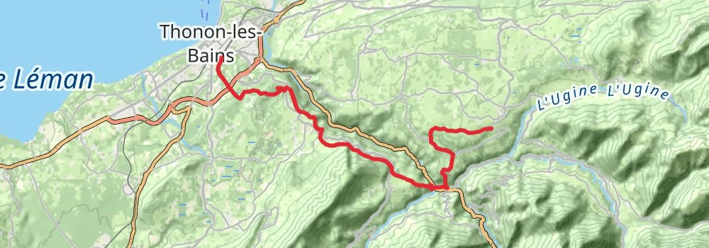
Starting at: Sur Crête, Thonon-les-Bains, Upper Savoy, 74200
Ending at: La Bordaise, Vinzier, Upper Savoy, 74500
Distance: 20.7 km
Elevation gain: 1039 m
Duration: 05:52:32
stage 2
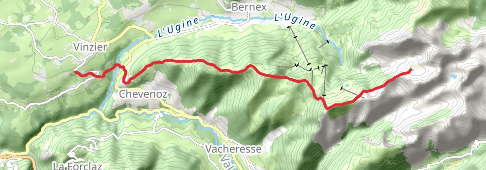
Starting at: La Bordaise, Vinzier, Upper Savoy, 74500
Distance: 11.9 km
Elevation gain: 1300 m
Duration: 04:32:50
stage 3
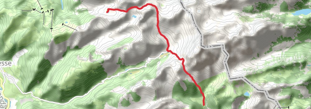
Starting at: Lac de la Case, Vacheresse, Upper Savoy, 74360
Distance: 8.5 km
Elevation gain: 709 m
Duration: 02:53:03
stage 4
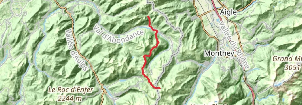
Distance: 21.3 km
Elevation gain: 1737 m
Duration: 07:09:44
stage 5
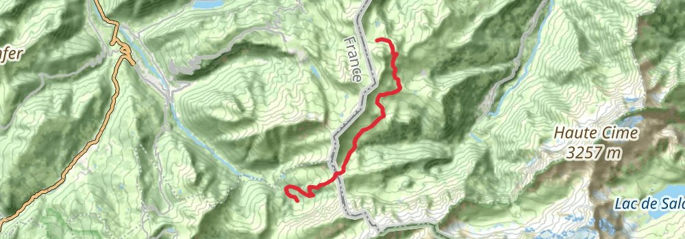
Starting at: Refuge de Chésery, Val-d'Illiez, Monthey, 1873
Distance: 14.1 km
Elevation gain: 608 m
Duration: 03:49:53
stage 6
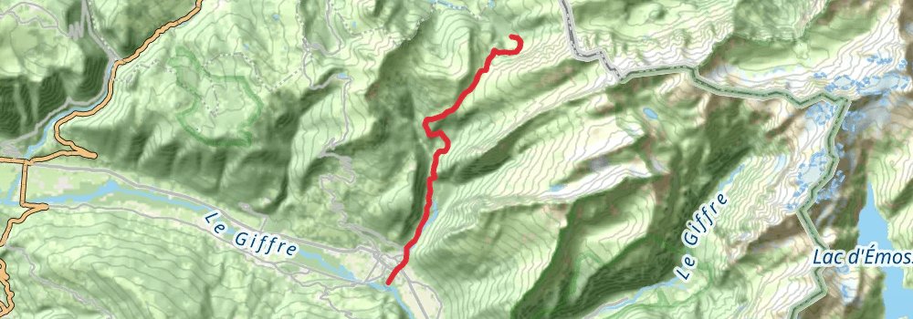
Starting at: Chalets de Chardonnière, Samoëns, Upper Savoy, 74340
Distance: 12.4 km
Elevation gain: 456 m
Duration: 03:14:05
stage 7
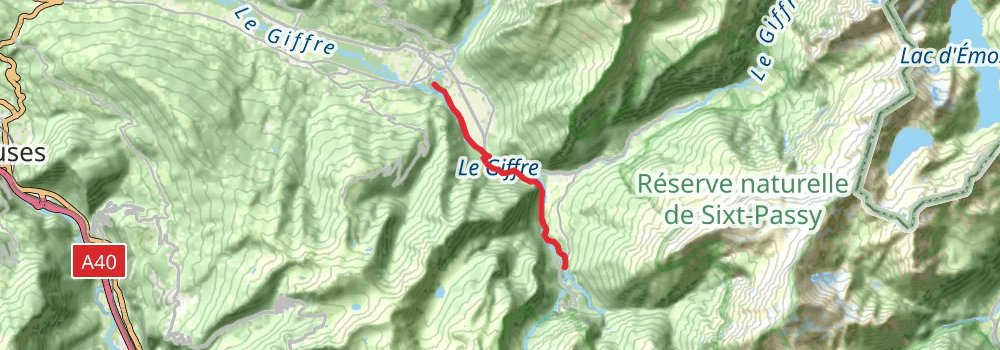
Ending at: Sixt-Fer-à-Cheval, Upper Savoy, 74740
Distance: 7.5 km
Elevation gain: 383 m
Duration: 02:08:25
stage 8
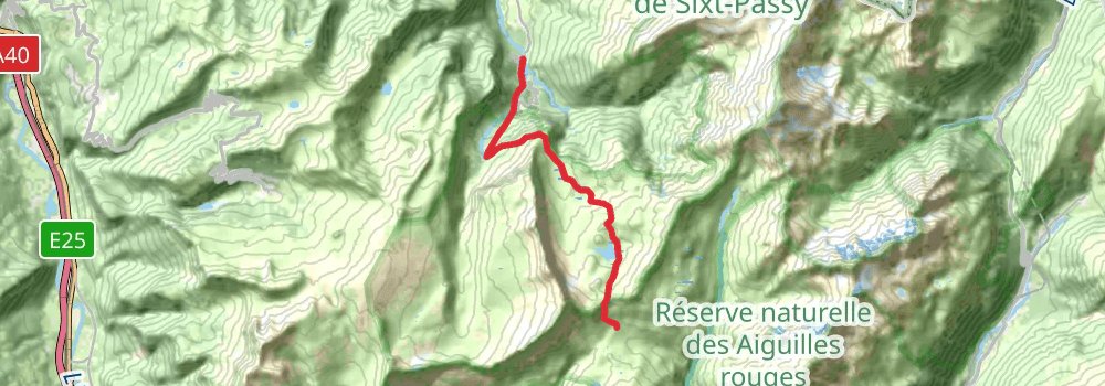
Starting at: Pont de Sales, Sixt-Fer-à-Cheval, Upper Savoy, 74740
Distance: 12.1 km
Elevation gain: 1639 m
Duration: 05:09:17
stage 9
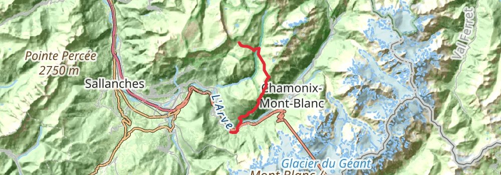
Starting at: Refuge de Moëde Anterne, Passy, Upper Savoy, 74480
Ending at: Bellevue, Les Houches, Upper Savoy, 74310
Distance: 19.4 km
Elevation gain: 1365 m
Duration: 06:09:49
stage 10
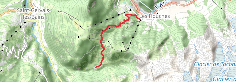
Starting at: La Tour de Pizz, Les Houches, Upper Savoy, 74310
Ending at: Saint-Gervais-les-Bains, Upper Savoy, 74170
Distance: 7.4 km
Elevation gain: 719 m
Duration: 02:40:28
alt 1
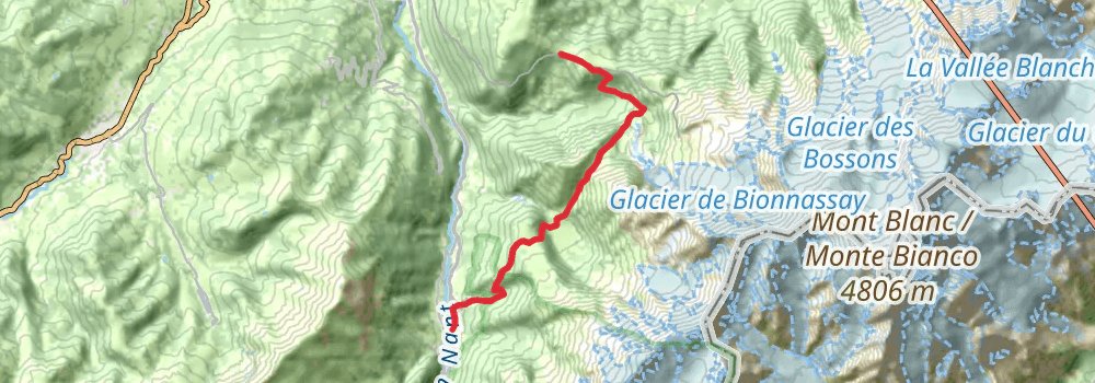
Ending at: Les Contamines-Montjoie, Upper Savoy, 74170
Distance: 13.4 km
Elevation gain: 1021 m
Duration: 04:22:28
stage 11
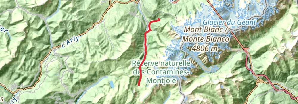
Starting at: Saint-Gervais-les-Bains, Upper Savoy, 74170
Distance: 16.3 km
Elevation gain: 1064 m
Duration: 05:02:30
stage 12
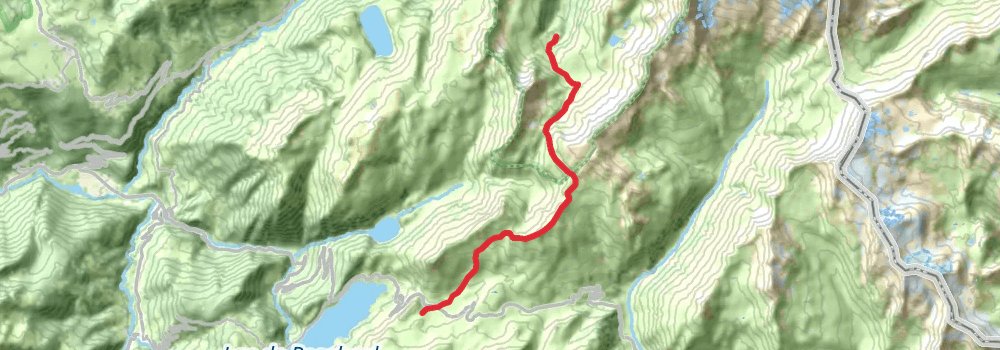
Ending at: Plan Mya, Beaufort, Savoy, 73270
Distance: 12.7 km
Elevation gain: 1109 m
Duration: 04:23:01
stage 13
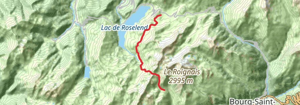
Starting at: Gîte de Plan Mya, Beaufort, Savoy, 73270
Distance: 12.1 km
Elevation gain: 1095 m
Duration: 04:14:48
stage 14
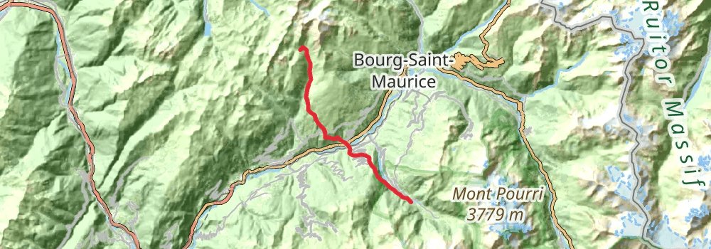
Starting at: Toilettes, La Plagne-Tarentaise, Savoy, 73210
Distance: 20.7 km
Elevation gain: 1294 m
Duration: 06:17:37
alt 2
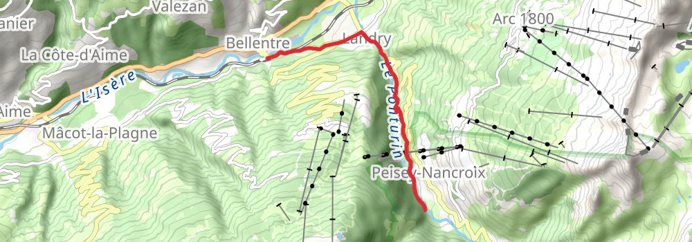
Starting at: Bellentre, Aime
Ending at: Peisey-Nancroix, Aime
Distance: 6.2 km
Elevation gain: 604 m
Duration: 02:14:50
spur 1
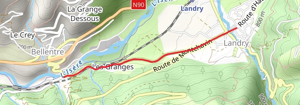
Starting at: Bellentre, Aime
Ending at: Landry, Aime, 73210
Distance: 2.1 km
Elevation gain: 78 m
Duration: 00:32:51
stage 15
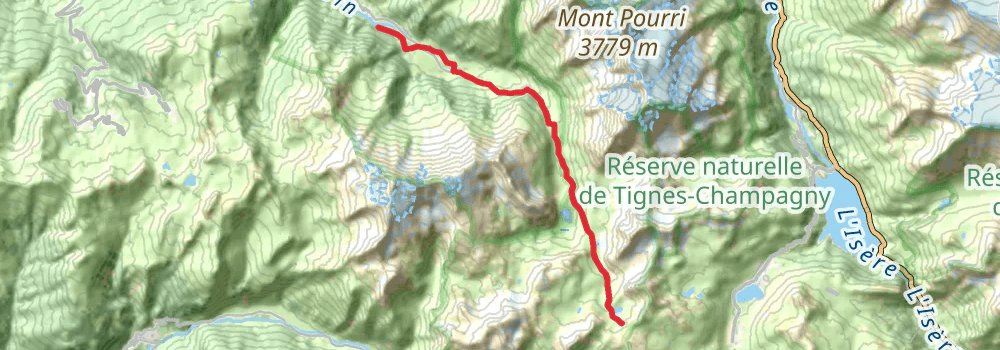
Starting at: Les Lanchettes, Peisey-Nancroix, Savoy, 73210
Distance: 12.8 km
Elevation gain: 1240 m
Duration: 04:37:36
alt 3
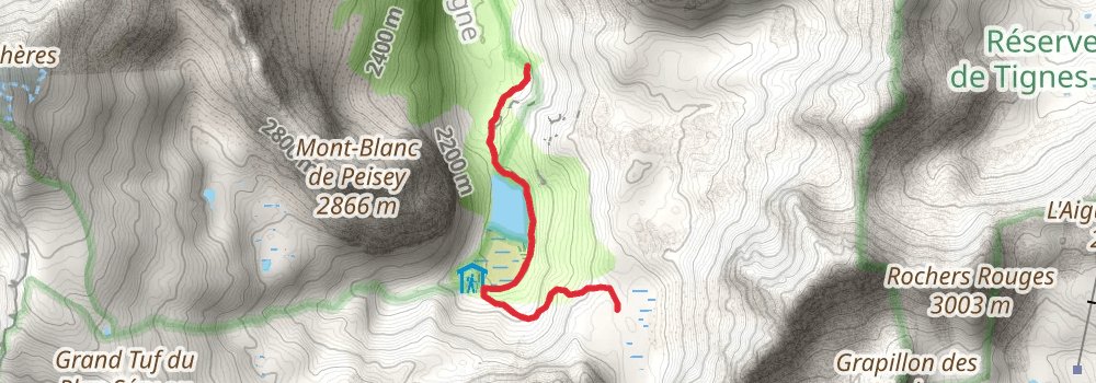
Starting at: Châlets de la Plagne, Peisey-Nancroix, Savoy, 73210
Ending at: Chalet de la Grassaz, Tignes, Savoy, 73320
Distance: 3.0 km
Elevation gain: 235 m
Duration: 00:59:40
stage 16
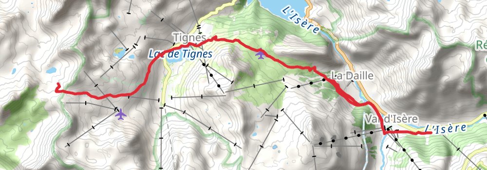
Starting at: Refuge du Col du Palet, Peisey-Nancroix, Aime, 74130
Ending at: Val d'Isère, Bourg-Saint-Maurice, 73150
Distance: 19.0 km
Elevation gain: 650 m
Duration: 04:53:19
alt 4
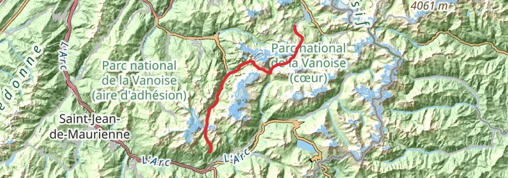
Starting at: Garde pêche, Le Bec Rouge, Tignes, Savoy, 73320
Ending at: Villarodin-Bourget, Savoy, 73500
Distance: 50.4 km
Elevation gain: 2813 m
Duration: 14:46:42
spur 2
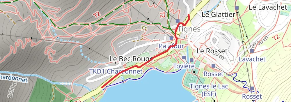
Starting at: Le Lavachet, Tignes, Bourg-Saint-Maurice, 73320
Distance: 759 m
Elevation gain: 19 m
Duration: 00:10:59
stage 17
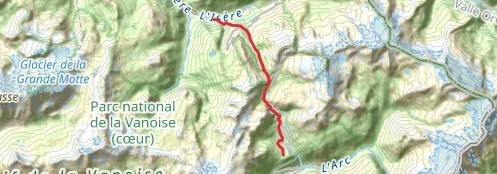
Starting at: Val d'Isère, Bourg-Saint-Maurice, 73150
Ending at: Les Druges, Bonneval-sur-Arc, Savoy, 73480
Distance: 11.4 km
Elevation gain: 1103 m
Duration: 04:07:32
alt 5
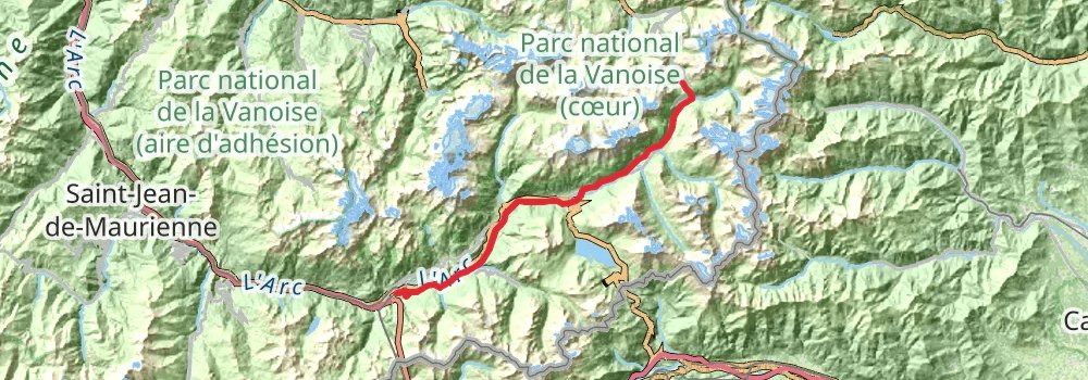
Starting at: La Lenta, Bonneval-sur-Arc, Savoy, 73480
Ending at: Modane, Modane, 73500
Distance: 47.5 km
Elevation gain: 1652 m
Duration: 12:15:02
stage 18
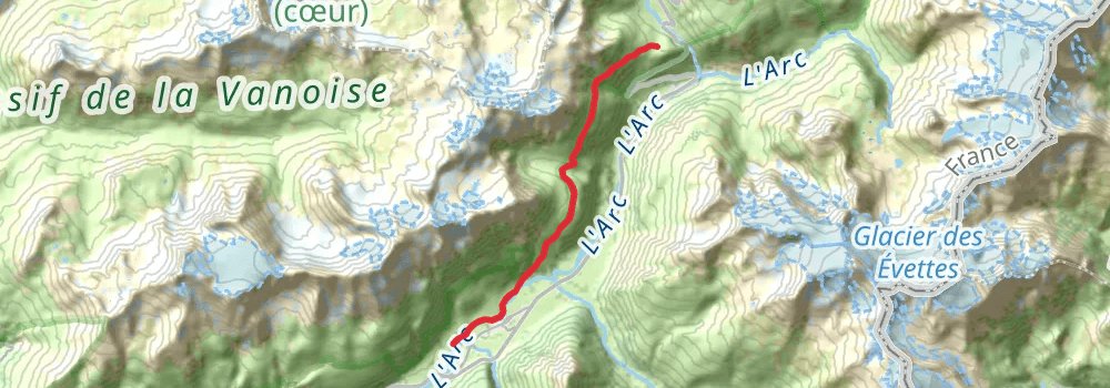
Starting at: Les Druges, Bonneval-sur-Arc, Savoy, 73480
Ending at: Bessans, Savoy, 73480
Distance: 11.2 km
Elevation gain: 431 m
Duration: 02:57:14
stage 19
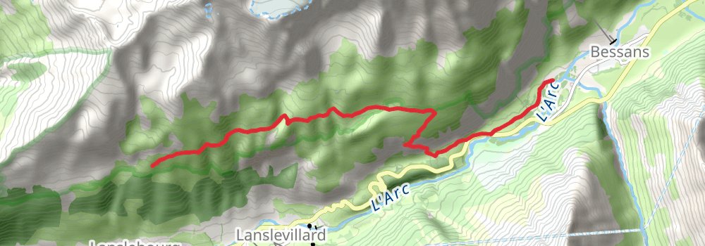
Starting at: Bessans, Savoy, 73480
Ending at: Refuge du Cuchet, Val-Cenis, Savoy, 73480
Distance: 11.9 km
Elevation gain: 1076 m
Duration: 04:10:12
stage 20
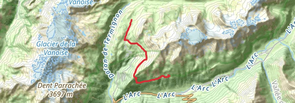
Starting at: Refuge du Cuchet, Val-Cenis, Savoy, 73480
Distance: 12.9 km
Elevation gain: 907 m
Duration: 04:05:16
stage 21
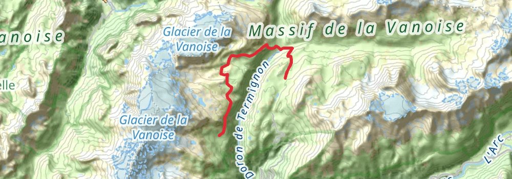
Starting at: Refuge du Plan du Lac, Termignon, Savoy, 73500
Ending at: L'Arpont, Termignon, Savoy, 73500
Distance: 13.1 km
Elevation gain: 903 m
Duration: 04:06:57
stage 22
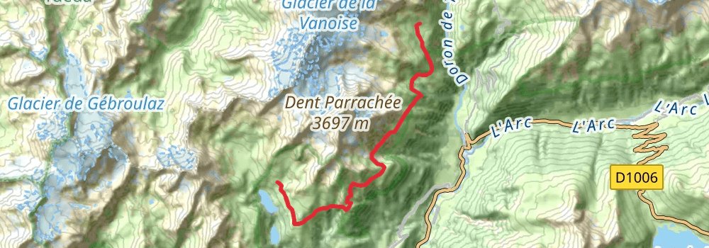
Starting at: Refuge de l'Arpont, Termignon, Savoy, 73500
Ending at: Refuge la Fournache, Aussois, Savoy, 73500
Distance: 17.4 km
Elevation gain: 1446 m
Duration: 05:52:46
stage 23
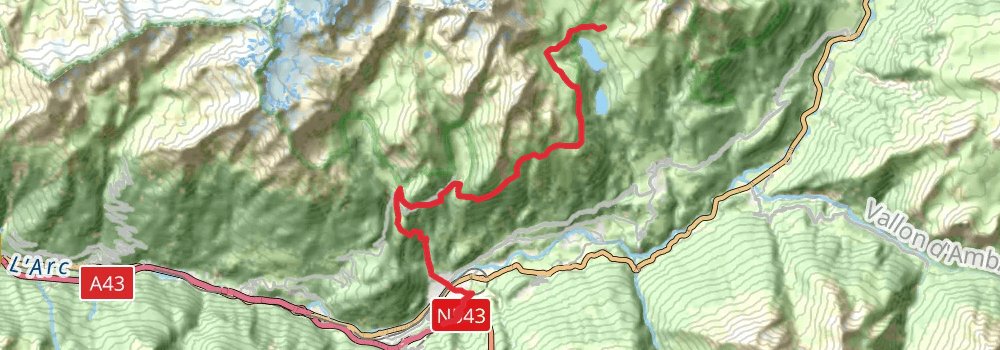
Starting at: Refuge la Fournache, Aussois, Savoy, 73500
Ending at: Modane, Savoy, 73500
Distance: 20.3 km
Elevation gain: 951 m
Duration: 05:38:28