The best hikes in Teton County
Wyoming · 332 HiiKER Hikes
View Hikes on map
What to expect
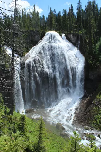
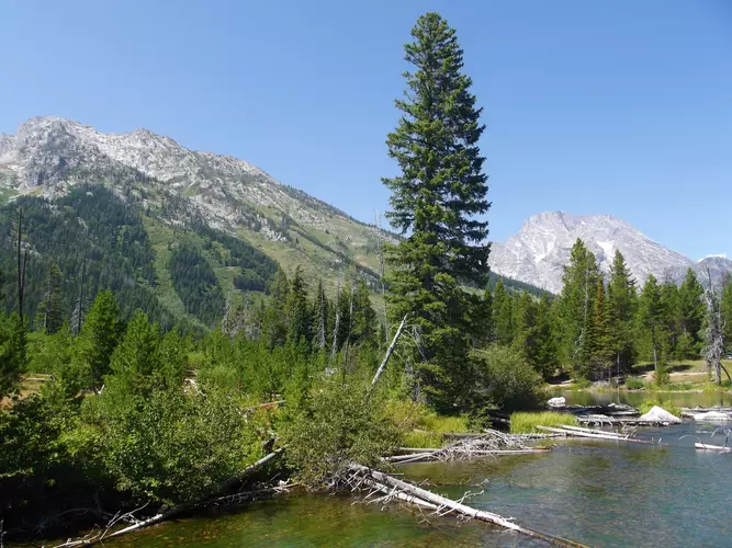
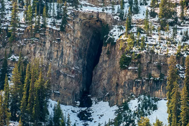
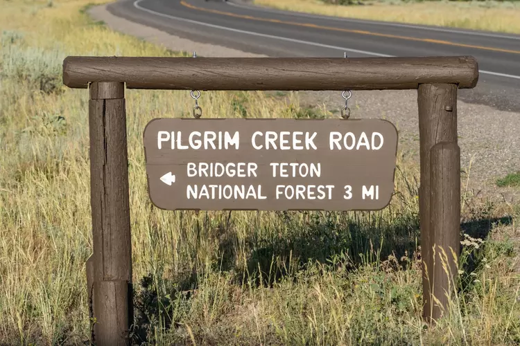
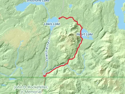
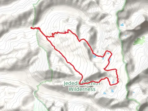
Check out some of the best hiking, walking and backpacking routes in Teton County, Wyoming. The Teton Crest Trail is the most popular trail. The trails have 12791 user reviews with great photos and information. There are trails of various difficulty levels including easy, medium, difficult, and extra difficult. The trail with the highest elevation climb is the Middle Teton via Valley Trail and the trail with the least amount of climbing is the Emily Stevens Park and Snake River Walk. The longest trail is the Heart Lake and Fox Creek and South Big Game Ridge Trail via CDT at 90.6 km. For a shorter adventure you can try the Oxbow Bend Walk at 78 m. Get off line access to Restaurant, Water, Campsite, and Peak locations and much more with a Hiiker subscription.

Be prepared for hiking in Wyoming with the HiiKER app