Download
Preview
Add to list
More
Trail length
2.8 km
Time
~38 min
Elevation Gain
56 m
Hike Type
Loop
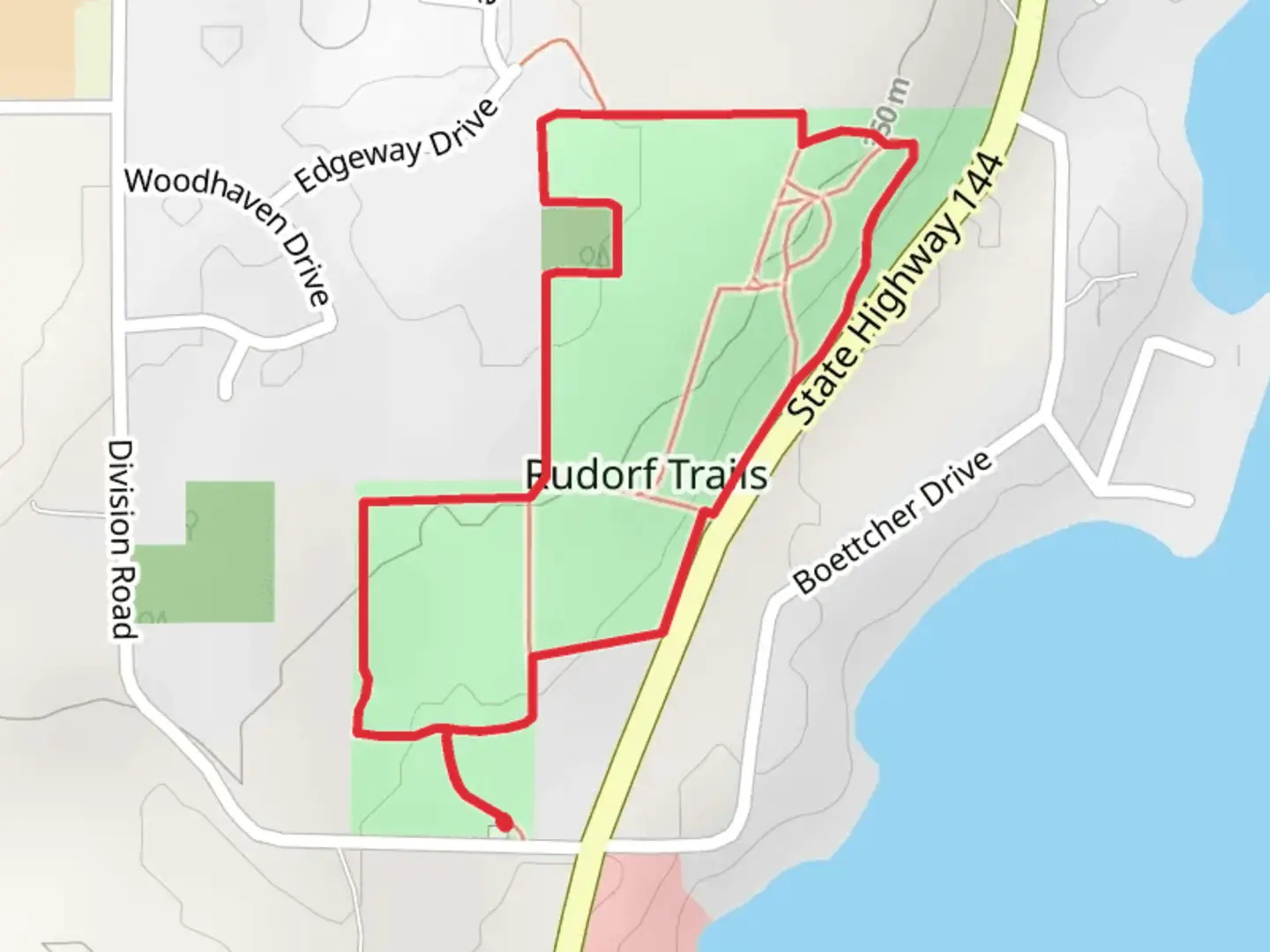
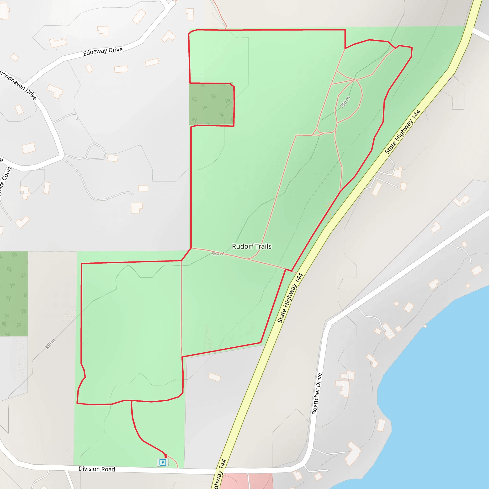
“Explore the diverse beauty and rich history of the accessible Rudorf Trails Loop in Washington County.”
Starting near Washington County, Wisconsin, the Rudorf Trails Loop is a delightful 3 km (approximately 1.86 miles) loop trail with no significant elevation gain, making it accessible for a wide range of hikers. The trailhead is conveniently located near the intersection of County Road NN and County Road M, providing easy access whether you're arriving by car or public transport.
Getting There For those driving, parking is available at the trailhead near the intersection of County Road NN and County Road M. If you're using public transport, the nearest bus stop is at the intersection of County Road NN and County Road M, serviced by the local Washington County Transit System. From there, it's a short walk to the trailhead.
Trail Overview The Rudorf Trails Loop is a medium-difficulty trail, primarily due to its varied terrain rather than elevation changes. The path meanders through a mix of dense woodlands and open meadows, offering a diverse hiking experience. The trail is well-marked, but it's always a good idea to have a reliable navigation tool like HiiKER to ensure you stay on track.
Key Landmarks and Points of Interest - **Woodland Section (0.5 km / 0.31 miles):** The first part of the trail takes you through a dense forest, rich with oak, maple, and pine trees. Keep an eye out for local wildlife such as deer, squirrels, and a variety of bird species. - **Meadow Stretch (1.5 km / 0.93 miles):** As you exit the woodland, the trail opens up into a beautiful meadow. This section is particularly stunning in the spring and summer when wildflowers are in full bloom. It's also a great spot for birdwatching. - **Historical Marker (2 km / 1.24 miles):** About two-thirds of the way through the loop, you'll come across a historical marker detailing the area's significance. Washington County has a rich history dating back to the early 19th century, and this marker provides insights into the early settlers and indigenous tribes that once inhabited the region. - **Creek Crossing (2.5 km / 1.55 miles):** Near the end of the loop, you'll cross a small creek. There is a sturdy wooden bridge, but the area can be muddy after heavy rains, so waterproof footwear is recommended.
Flora and Fauna The Rudorf Trails Loop is home to a variety of plant and animal life. In the woodland sections, you'll find a mix of deciduous and coniferous trees, while the meadows are filled with native grasses and wildflowers. Wildlife sightings are common, with deer, foxes, and numerous bird species frequently spotted along the trail.
Trail Conditions and Safety The trail is generally well-maintained, but it's always wise to check recent trail conditions on HiiKER before heading out. The woodland sections can be slippery after rain, and the meadow areas can be quite exposed, so sun protection is advisable. Always carry enough water, especially during the warmer months, and consider bringing insect repellent.
Final Stretch As you complete the loop, you'll find yourself back at the trailhead near County Road NN and County Road M. This trail offers a perfect blend of natural beauty and historical significance, making it a rewarding hike for both novice and experienced hikers alike.
What to expect?
forest
family-friendly
wildlife
Activity types
hiking
trail-running
walking
Comments and Reviews
User comments, reviews and discussions about the Rudorf Trails Loop, Wisconsin.
4.46
average rating out of 5
26 rating(s)
