Download
Preview
Add to list
More
11.2 km
~2 hrs 20 min
57 m
Out and Back
“The Racine-Sturtevant Trail offers accessible, scenic beauty and historical intrigue for hikers of all levels.”
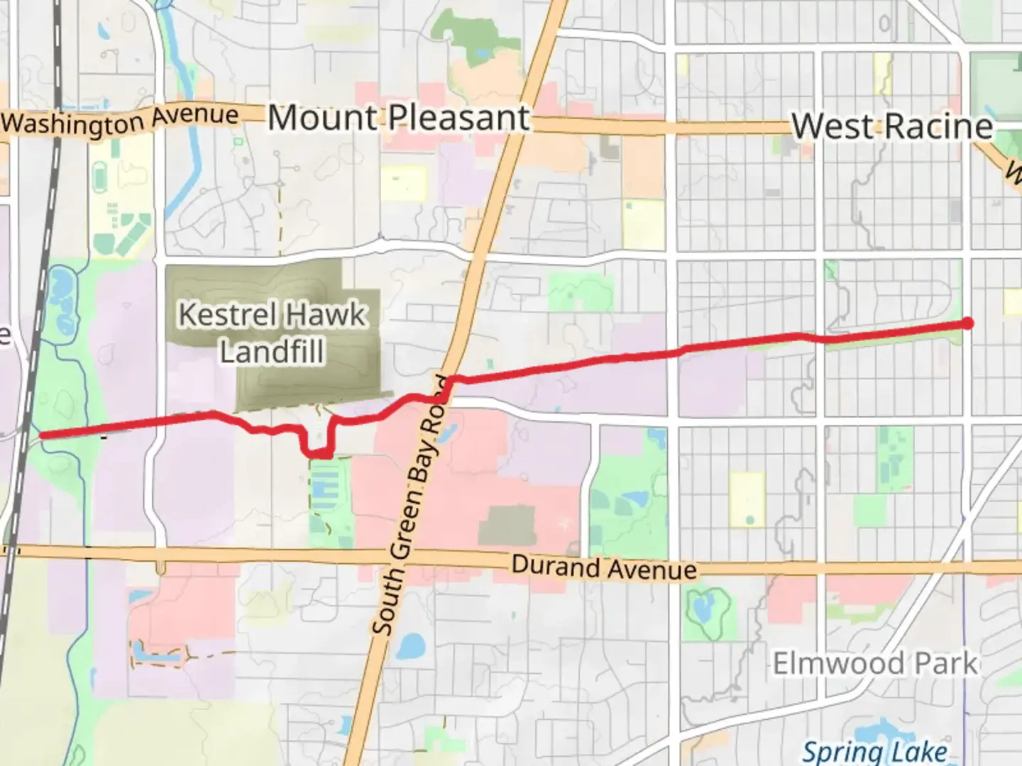
Starting near Racine County, Wisconsin, the Racine-Sturtevant Trail is an 11 km (approximately 6.8 miles) out-and-back trail with no significant elevation gain, making it accessible for a wide range of hikers. The trailhead is conveniently located near the Racine County Line, easily accessible by car or public transport. If you're driving, you can park near the Racine County Line, close to the intersection of County Road KR and 90th Street. For those using public transport, the nearest significant landmark is the Sturtevant Amtrak Station, from where you can take a short taxi or rideshare to the trailhead.
Trail Overview
The trail is relatively flat, with an elevation gain of around 0 meters (0 feet), making it ideal for a leisurely hike or a brisk walk. The path is well-maintained and marked, ensuring that navigation is straightforward. For those who prefer digital navigation tools, HiiKER provides an excellent resource for tracking your progress and ensuring you stay on course.
Natural Features and Wildlife
As you embark on the Racine-Sturtevant Trail, you'll traverse through a variety of landscapes, including open fields, wooded areas, and wetlands. The trail is particularly beautiful in the spring and fall when the foliage is at its most vibrant. Keep an eye out for local wildlife such as deer, rabbits, and a variety of bird species. The wetlands are a haven for birdwatchers, offering the chance to spot herons, ducks, and other waterfowl.
Significant Landmarks
Around the 3 km (1.9 miles) mark, you'll come across the Root River, a serene spot perfect for a short rest or a picnic. The river is a significant natural feature in the area, providing a habitat for various aquatic species and adding to the trail's scenic beauty.
Historical Significance
The Racine-Sturtevant Trail runs through an area rich in history. Racine County has a storied past, with roots tracing back to Native American tribes and early European settlers. As you hike, you'll be walking through lands that have been inhabited and traversed for centuries. The nearby town of Sturtevant was named after Alvah Sturtevant, a prominent figure in the local railroad industry in the late 19th century. The trail itself follows part of the old rail line, adding a layer of historical intrigue to your hike.
Preparation and Safety
Given the trail's moderate difficulty rating, it's advisable to wear comfortable hiking shoes and bring plenty of water, especially during the warmer months. The trail is well-shaded in parts, but sunscreen and insect repellent are recommended. While the trail is generally safe, it's always a good idea to let someone know your hiking plans and expected return time.
Getting There
To reach the trailhead by car, head towards the intersection of County Road KR and 90th Street near the Racine County Line. Ample parking is available in the vicinity. If you're using public transport, the Sturtevant Amtrak Station is the closest significant landmark. From there, a short taxi or rideshare will get you to the trailhead.
The Racine-Sturtevant Trail offers a delightful mix of natural beauty, historical significance, and accessibility, making it a rewarding experience for hikers of all levels.
What to expect?
Activity types
Comments and Reviews
User comments, reviews and discussions about the Racine-Sturtevant Trail, Wisconsin.
4.44
average rating out of 5
34 rating(s)
