Download
Preview
Add to list
More
78.4 km
~4 days
116 m
Multi-Day
“Embark on the Gandy Dancer Trail for an accessible, scenic trek rich in nature, history, and charm.”
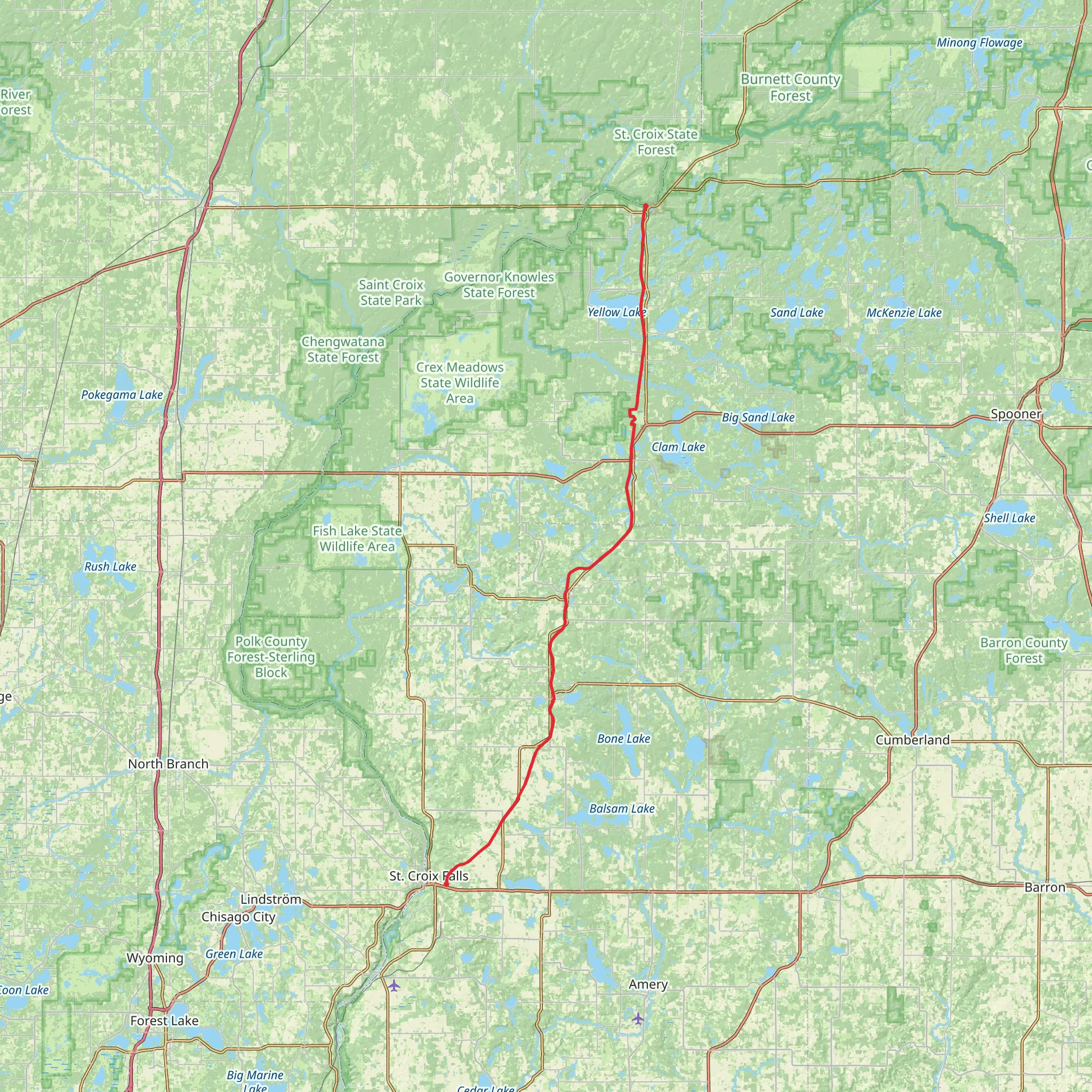
Spanning approximately 48 miles (around 78 kilometers) with a minimal elevation gain of roughly 328 feet (about 100 meters), the Gandy Dancer State Trail - South offers an easy, yet rewarding hiking experience. This point-to-point trail is nestled near Polk County, Wisconsin, and is well-suited for hikers of all skill levels, including families and those seeking a leisurely outdoor adventure.
Getting to the Trailhead
To reach the southern trailhead, hikers can navigate to St. Croix Falls, a town that lies on the border of Wisconsin and Minnesota. If driving, you can park your vehicle at the Interstate State Park in St. Croix Falls, which is a short distance from the trail's starting point. For those opting for public transport, check local bus schedules for routes that stop near the park.
Trail Experience
As you embark on the Gandy Dancer State Trail, you'll traverse a path that was once a corridor for the Minneapolis, St. Paul and Sault Ste. Marie railroad, affectionately known as the "Soo Line." This historical significance adds an element of nostalgia, with the trail's name itself paying homage to the "gandy dancers," the workers who laid and maintained railroad tracks.
The trail surface is primarily composed of crushed limestone and gravel, making it suitable for both hiking and biking. The flat terrain ensures a straightforward trek, allowing hikers to immerse themselves in the surrounding nature without the challenge of steep climbs.
Natural Highlights and Wildlife
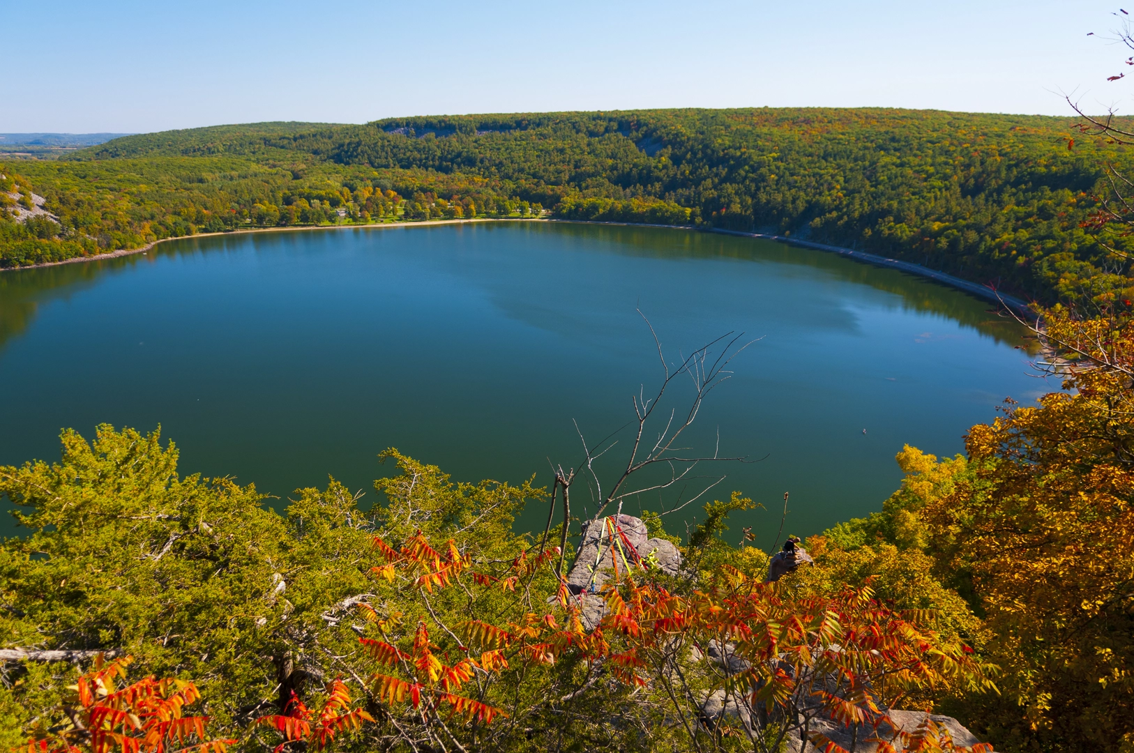
As you journey along the trail, you'll be greeted by a diverse array of landscapes, from wetlands and river scenes to dense forests and open farmland. The changing scenery provides ample opportunities for wildlife observation, with chances to spot deer, foxes, and a variety of bird species, including the occasional bald eagle.
Historical Landmarks and Towns
Approximately halfway through the hike, near the 24-mile mark, you'll encounter the town of Luck. This small community offers a glimpse into the region's past, with historical buildings and local eateries where you can rest and refuel. The trail also passes through other quaint towns such as Milltown and Centuria, each with their own unique charm.
Navigation and Planning
To ensure a smooth journey, it's recommended to use the HiiKER app for up-to-date trail maps and navigation assistance. The app can help you locate points of interest, track your progress, and stay oriented along the trail.
Preparation and Amenities
Before setting out, make sure to pack sufficient water and snacks, as the trail's remote sections may not have immediate access to supplies. Additionally, wear appropriate footwear for the gravel surface and check the weather forecast to dress accordingly.
Restrooms and picnic areas are available at various points along the trail, providing convenient stops for breaks. Remember to leave no trace and carry out any trash to maintain the trail's natural beauty for future visitors.
Whether you're seeking a serene walk in the woods, a historical journey, or a chance to observe local wildlife, the Gandy Dancer State Trail - South offers a delightful hiking experience that caters to a wide range of interests and abilities.
What to expect?
Activity types
Comments and Reviews
User comments, reviews and discussions about the Gandy Dancer State Trail - South, Wisconsin.
4.77
average rating out of 5
13 rating(s)

