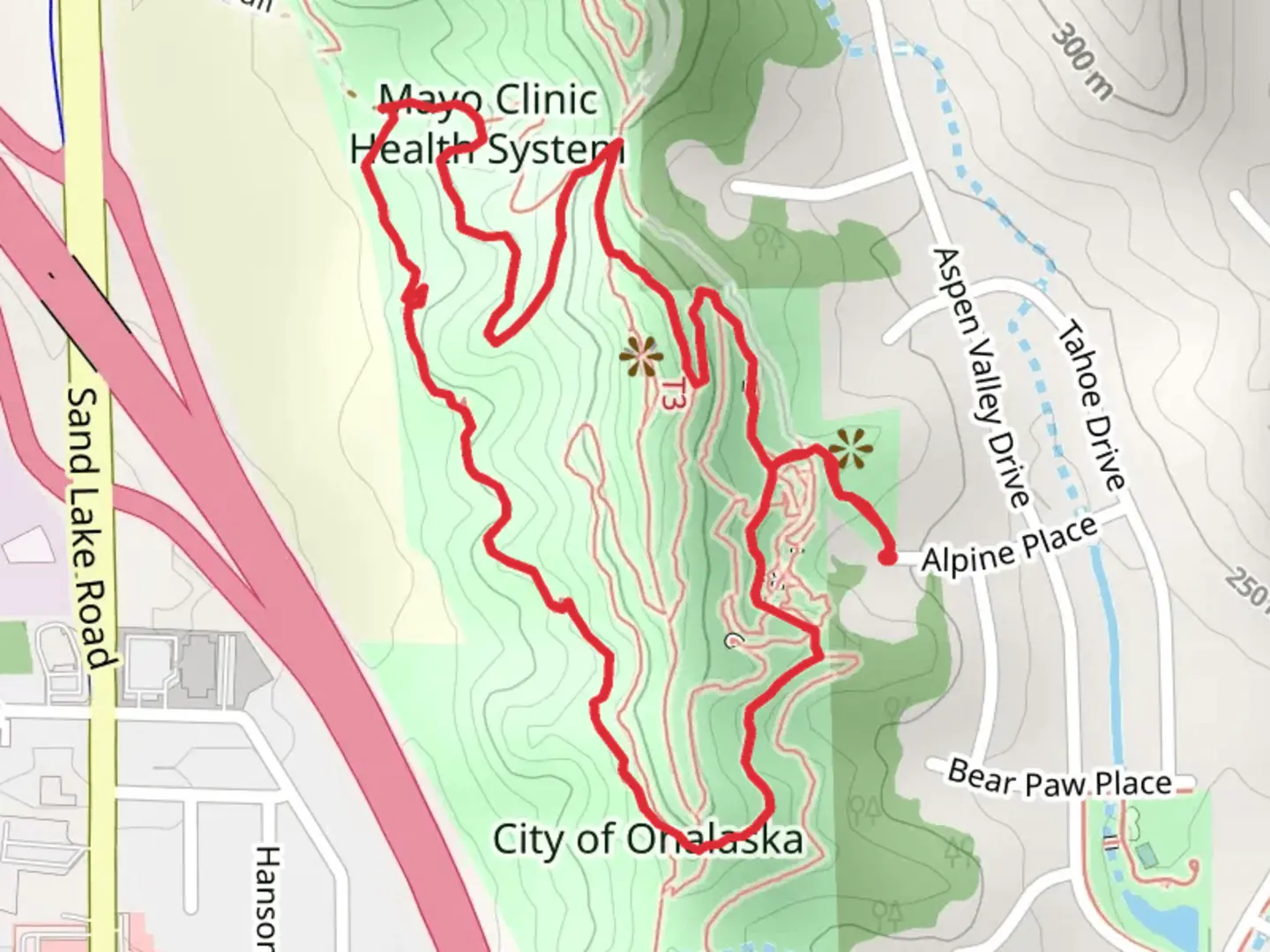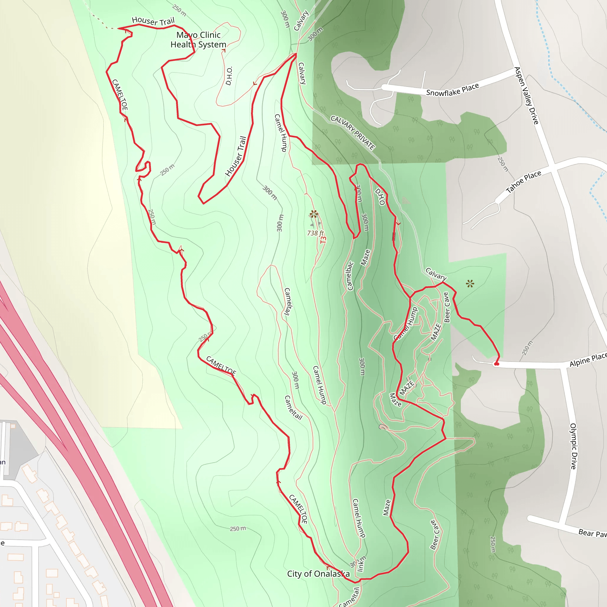
Download
Preview
Add to list
More
3.5 km
~1 hrs 7 min
250 m
Loop
“Discover the Camel Hump Loop: a 4 km trail blending natural beauty, moderate challenge, and historical intrigue.”
Starting your adventure near La Crosse County, Wisconsin, the Camel Hump Loop is a delightful 4 km (2.5 miles) loop trail with an elevation gain of approximately 200 meters (656 feet). This medium-difficulty trail offers a mix of natural beauty, historical significance, and a moderate challenge suitable for most hikers.### Getting There To reach the trailhead, you can drive or use public transport. If driving, head towards the nearest known address, which is the La Crosse County Forest, located at N6302 County Road FA, Holmen, WI 54636. There is ample parking available at the trailhead. For those using public transport, the nearest bus stop is at Holmen, WI, from where you can take a short taxi ride to the trailhead.### Trail Overview The Camel Hump Loop begins with a gentle ascent through a dense forest of oak, maple, and pine trees. The initial 1 km (0.6 miles) of the trail is relatively easy, with a gradual elevation gain of about 50 meters (164 feet). This section is perfect for warming up and getting accustomed to the terrain.### Significant Landmarks and Nature As you progress, you'll encounter the first significant landmark, a large rock formation known locally as "The Camel's Hump." This formation is approximately 1.5 km (0.9 miles) into the trail and offers a great spot for a short break and some photos. The rock formation is a remnant of the region's glacial history, providing a glimpse into the geological past of the area.Continuing on, the trail becomes steeper, with an elevation gain of about 100 meters (328 feet) over the next 1 km (0.6 miles). This section is more challenging but rewards you with stunning views of the surrounding forest and, on clear days, the Mississippi River in the distance. Keep an eye out for local wildlife, including white-tailed deer, red foxes, and a variety of bird species such as the red-tailed hawk and the pileated woodpecker.### Historical Significance Around the 3 km (1.9 miles) mark, you'll come across an old, abandoned cabin. This cabin dates back to the early 1900s and was once used by loggers who worked in the area. It's a fascinating piece of local history and a reminder of the region's logging past. Take a moment to explore the cabin and imagine what life was like for those early settlers.### Final Stretch The final 1 km (0.6 miles) of the trail is a gentle descent back to the trailhead. This section is less strenuous and allows you to cool down while enjoying the serene forest surroundings. The trail is well-marked, but it's always a good idea to have a reliable navigation tool like HiiKER to ensure you stay on track.### Preparation and Safety Given the medium difficulty rating, it's advisable to wear sturdy hiking boots and bring plenty of water, especially during the warmer months. The trail can be muddy after rain, so be prepared for potentially slippery conditions. Always check the weather forecast before heading out and let someone know your hiking plans.The Camel Hump Loop offers a perfect blend of natural beauty, moderate challenge, and historical intrigue, making it a must-visit for hikers in the La Crosse County area.
What to expect?
Activity types
Comments and Reviews
User comments, reviews and discussions about the Camel Hump Loop, Wisconsin.
4.45
average rating out of 5
49 rating(s)
