Download
Preview
Add to list
More
11.5 km
~2 hrs 20 min
24 m
Out and Back
“The Military Ridge State Trail offers a flat, scenic hike rich in history and natural beauty.”
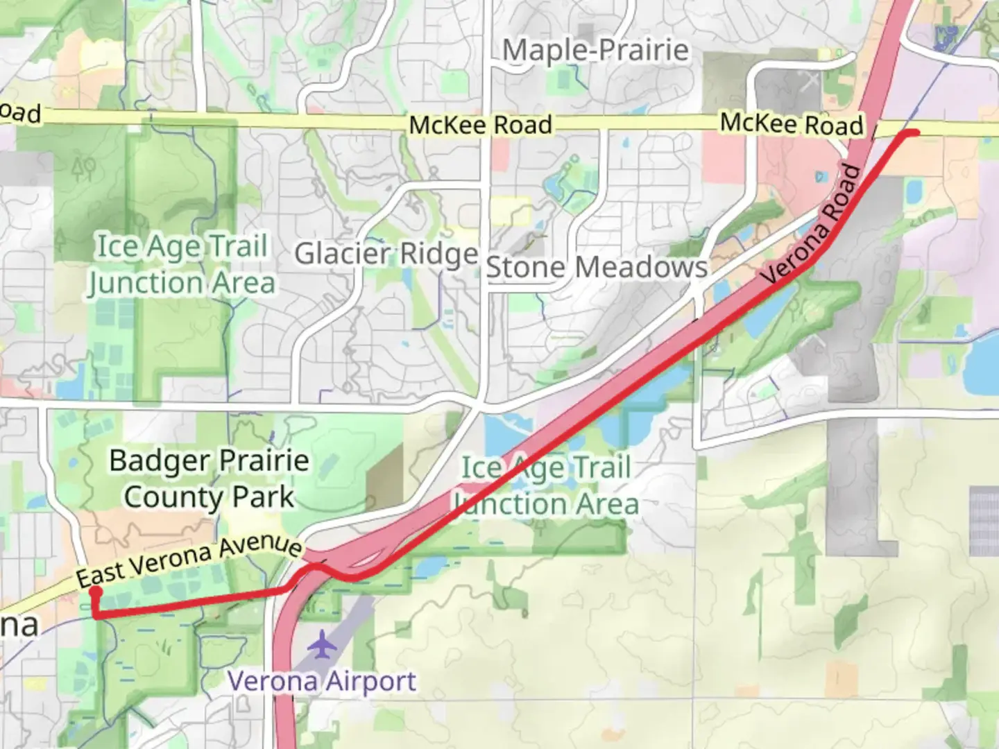
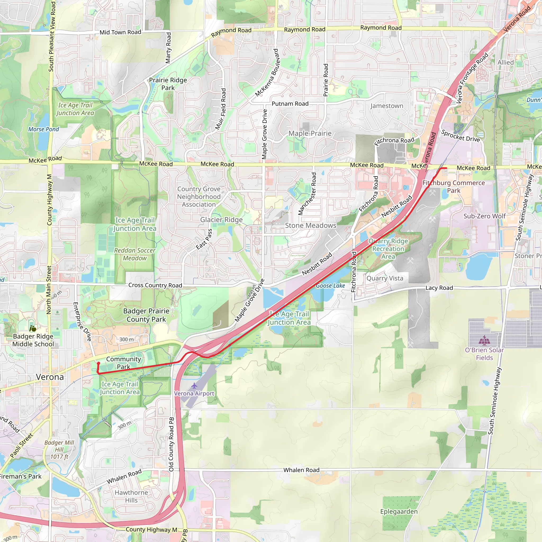
Starting near Dane County, Wisconsin, the Military Ridge State Trail stretches approximately 12 kilometers (7.5 miles) with virtually no elevation gain, making it an accessible hike for many. This out-and-back trail is rated as medium difficulty, primarily due to its length rather than challenging terrain.
Getting There To reach the trailhead, you can drive or use public transportation. If driving, set your GPS to the nearest known address: 4350 Mounds Park Rd, Blue Mounds, WI 53517. For those using public transport, the Madison Metro Transit system offers routes that can get you close to the trailhead, with a short taxi or rideshare trip to cover the final distance.
Trail Overview The Military Ridge State Trail is a converted rail-trail, which means it follows the path of a former railway line. This results in a relatively flat and even surface, ideal for hiking, biking, and even wheelchair access. The trail is well-maintained, with a crushed limestone surface that provides good traction.
Historical Significance The trail follows the route of the old Chicago and North Western Railway, which was instrumental in the development of the region during the 19th century. As you hike, you’ll pass through areas that were once bustling with railway activity, now reclaimed by nature. Interpretive signs along the way provide insights into the historical significance of the railway and its impact on local communities.
Nature and Wildlife The trail meanders through a variety of landscapes, including woodlands, wetlands, and prairies. Keep an eye out for native wildlife such as white-tailed deer, red foxes, and a variety of bird species including red-tailed hawks and sandhill cranes. In the spring and summer, the trail is adorned with wildflowers like black-eyed Susans and purple coneflowers, adding vibrant splashes of color to your hike.
Landmarks and Points of Interest - **Blue Mound State Park**: Located near the trailhead, this park offers additional hiking opportunities and panoramic views from the highest point in southern Wisconsin. - **Ridgeway Pine Relict State Natural Area**: About 5 kilometers (3.1 miles) into the trail, this area features unique pine relicts and diverse plant life. - **Dodgeville**: The trail extends towards Dodgeville, a charming town with historical buildings and local eateries, perfect for a post-hike meal.
Navigation For navigation, the HiiKER app is highly recommended. It provides detailed maps, real-time GPS tracking, and information on trail conditions, ensuring you stay on the right path.
Preparation Tips - **Footwear**: Given the flat terrain, comfortable walking shoes or hiking boots are sufficient. - **Water and Snacks**: Bring enough water and snacks, especially during warmer months. - **Weather**: Check the weather forecast before heading out, as the trail can become muddy after rain. - **Permits**: No permits are required, but a state trail pass is necessary for bikers and horseback riders.
This trail offers a blend of natural beauty and historical intrigue, making it a rewarding experience for hikers of all levels.
What to expect?
Activity types
Comments and Reviews
User comments, reviews and discussions about the Military Ridge State Trail, Wisconsin.
4.53
average rating out of 5
45 rating(s)
