Download
Preview
Add to list
More
10.8 km
~2 hrs 56 min
477 m
Loop
“Embark on a scenic 11 km loop through forests, meadows, and rocky outcrops near Levis Mound.”
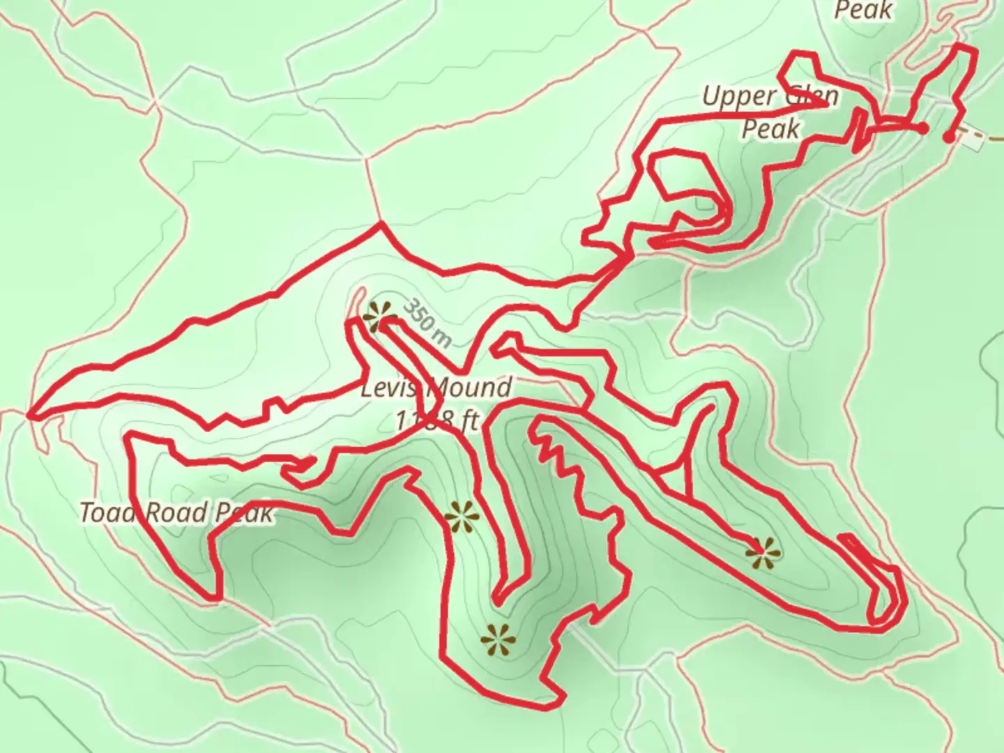
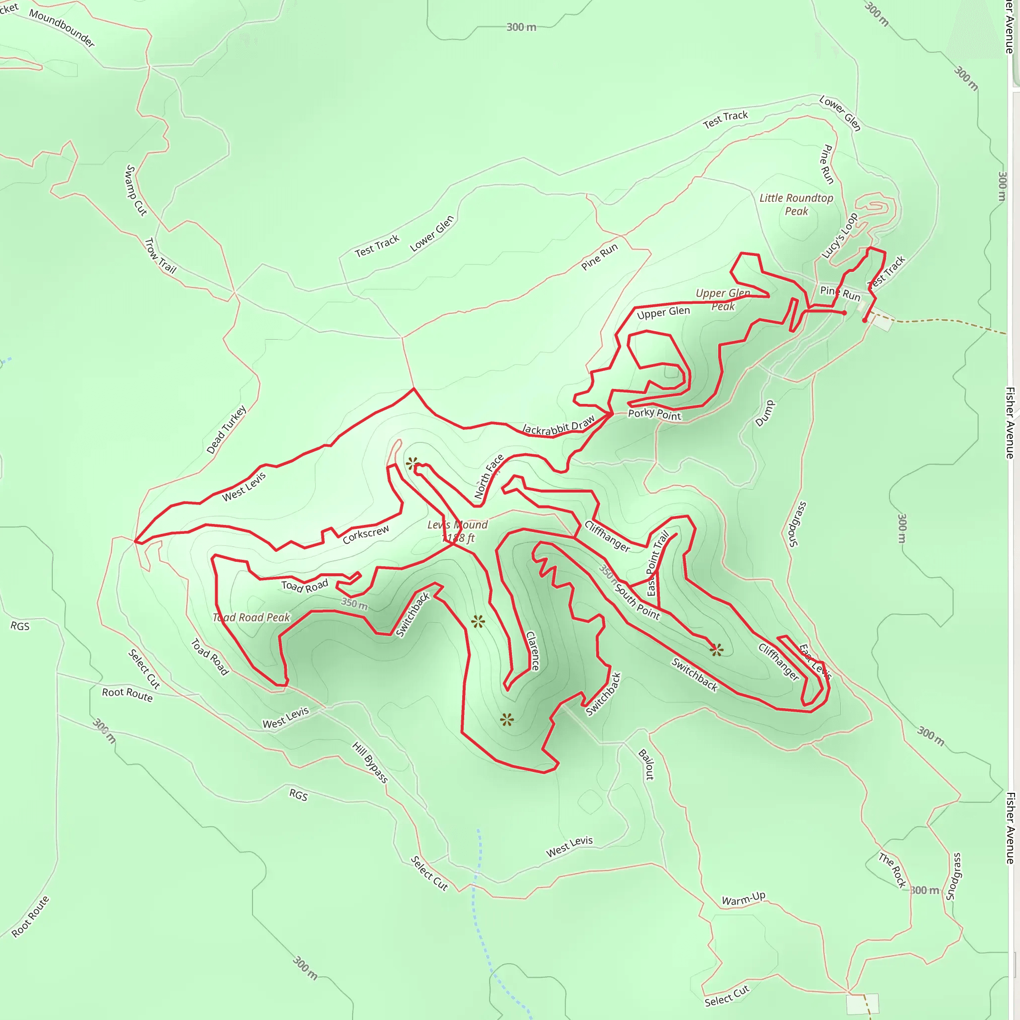
Starting your adventure near Clark County, Wisconsin, the Upper Glen Peak and Levis Mound Loop offers a captivating 11 km (approximately 6.8 miles) journey with an elevation gain of around 400 meters (1,312 feet). This loop trail is rated as medium difficulty, making it suitable for moderately experienced hikers.### Getting There To reach the trailhead, you can drive or use public transportation. If driving, head towards Levis Mound Recreational Area, located near Neillsville, Wisconsin. The nearest significant landmark is the Levis Mound Trailhead Parking Lot. For those using public transport, the closest major town is Neillsville, from where you can take a taxi or rideshare service to the trailhead.### Trail Overview The trail begins at the Levis Mound Trailhead, where you'll find ample parking and basic amenities like restrooms and picnic areas. The loop takes you through a diverse landscape, including dense forests, open meadows, and rocky outcrops.### Key Sections and Landmarks#### Initial Ascent The first section of the trail involves a steady ascent through a mixed hardwood forest. This part of the trail is well-marked and features a gradual incline, gaining about 150 meters (492 feet) in elevation over the first 3 km (1.86 miles). Keep an eye out for white-tailed deer and various bird species, including woodpeckers and warblers.#### Midway Point: Upper Glen Peak At around the 5 km (3.1 miles) mark, you'll reach Upper Glen Peak. This is one of the highest points on the trail and offers panoramic views of the surrounding countryside. The elevation here is approximately 400 meters (1,312 feet) above sea level. It's a great spot to take a break, enjoy a snack, and capture some photos.#### Descent to Levis Mound From Upper Glen Peak, the trail descends gradually towards Levis Mound. This section is about 3 km (1.86 miles) long and features a mix of rocky terrain and forested paths. The descent is less steep but requires careful footing, especially after rain when the rocks can be slippery.#### Levis Mound Levis Mound is a significant geological formation and a highlight of the trail. The mound is composed of sandstone and offers unique rock formations and small caves to explore. Historically, this area was used by Native American tribes for shelter and hunting. Interpretive signs along the trail provide more information about the mound's historical significance.### Wildlife and Flora The trail is home to a variety of wildlife, including black bears, foxes, and numerous bird species. The flora is equally diverse, with oak, maple, and pine trees dominating the landscape. In spring and summer, the meadows are filled with wildflowers, making it a picturesque hike.### Navigation and Safety For navigation, it's highly recommended to use the HiiKER app, which provides detailed maps and real-time updates. The trail is well-marked, but having a reliable navigation tool ensures you stay on track. Always carry enough water, snacks, and a basic first-aid kit. Weather can change rapidly, so be prepared for varying conditions.### Final Stretch The final 3 km (1.86 miles) of the loop take you through a serene forested area, gradually leading back to the trailhead. This section is relatively flat and offers a peaceful end to your hike, with the sounds of rustling leaves and chirping birds accompanying you.By the time you return to the Levis Mound Trailhead, you'll have experienced a diverse and enriching hike, filled with natural beauty, historical landmarks, and a variety of wildlife.
What to expect?
Activity types
Comments and Reviews
User comments, reviews and discussions about the Upper Glen Peak and Levis Mound Loop, Wisconsin.
4.49
average rating out of 5
37 rating(s)
