The best hikes in Shire Of Plantagenet
Western Australia · 5 HiiKER Hikes
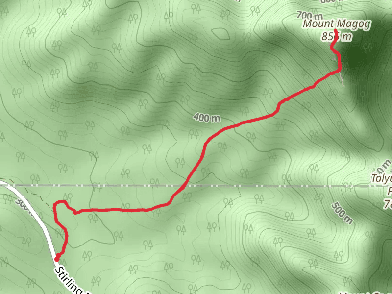
View Hikes on map


What to expect
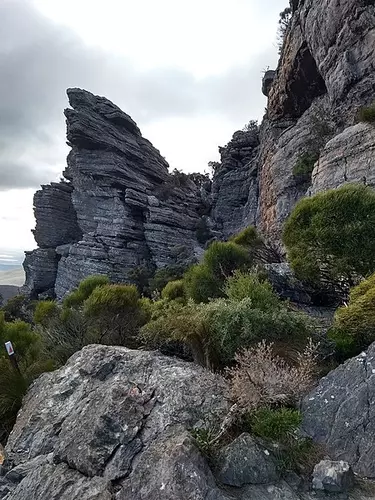
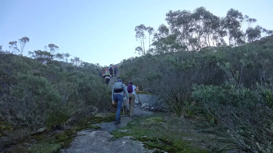
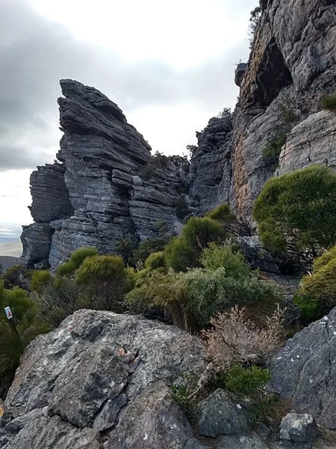
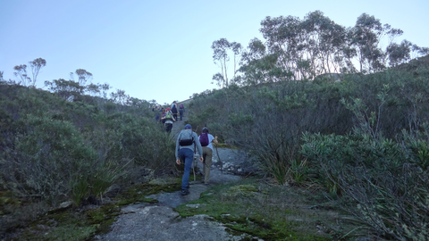
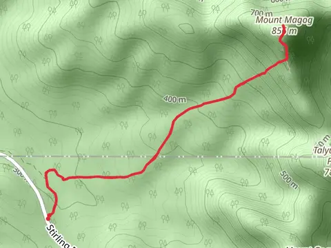
Check out some of the best hiking, walking and backpacking routes in Shire Of Plantagenet, Western Australia. The Talyuberlup Walk is the most popular trail. The trail with the highest elevation climb is the Mt Magog Walk and the trail with the least amount of climbing is the Wansbrough Walk. The longest trail is the Mt Magog Walk at 7 km. For a shorter adventure you can try the Talyuberlup Walk at 2 km. Get off line access to Campsite, Viewpoint, and Peak locations and much more with a Hiiker subscription.

Be prepared for hiking in Western Australia with the HiiKER app