Download
3D Flyover
Add to list
More
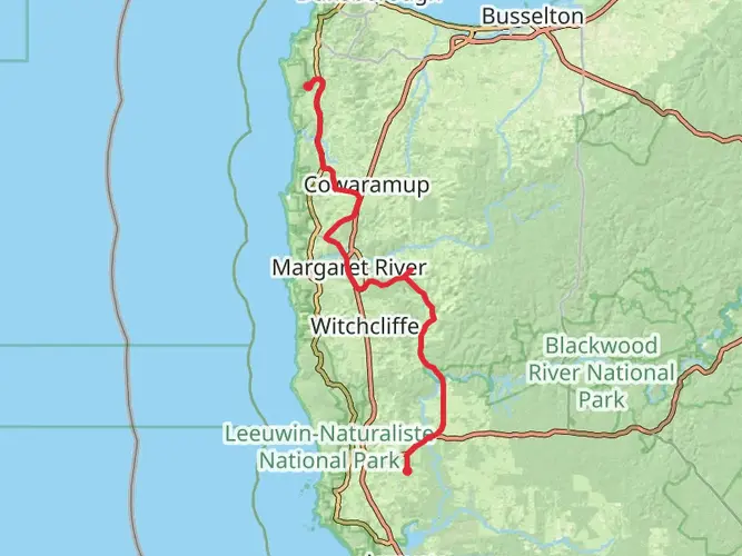
126.0 km
~5 days
1435 m
Multi-Day
“Embark on the Cape to Cape Track, a scenic coastal hike weaving through Australia's diverse landscapes and rich history.”
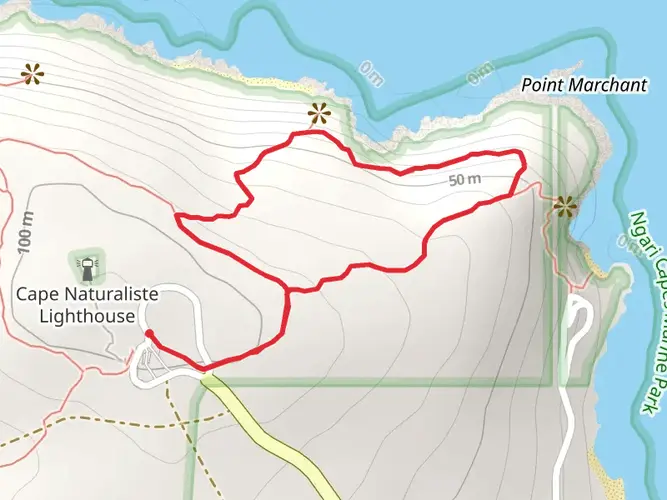
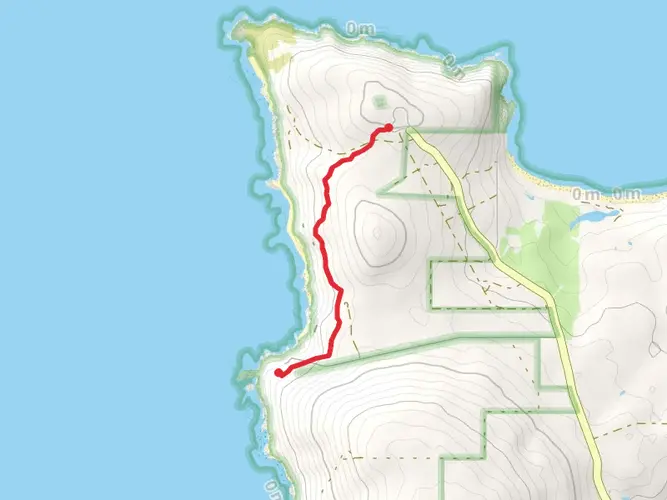
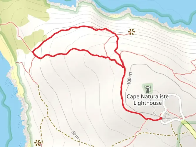
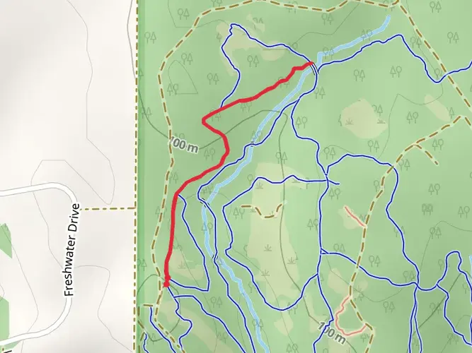
Spanning approximately 126 kilometers (about 78 miles) with an elevation gain of around 1400 meters (approximately 4600 feet), the Cape to Cape Track offers an immersive experience along the southwestern coast of Australia. This point-to-point trail stretches between the lighthouses of Cape Naturaliste and Cape Leeuwin, meandering through the stunning Leeuwin-Naturaliste National Park.
Getting to the Trailhead
The northern trailhead is located near Busselton, Western Australia, close to the Cape Naturaliste Lighthouse. For those arriving by car, the lighthouse is a short drive from the town of Dunsborough. Public transport options are limited in this region, but regional bus services can get you to Dunsborough, and from there, a taxi or local shuttle service can be used to reach the trailhead.
Navigating the Trail
The Cape to Cape Track is well-marked, but it's always wise to carry a reliable navigation tool. HiiKER is an excellent resource for trail maps and can help you stay on track throughout your journey.
Trail Highlights and Landmarks
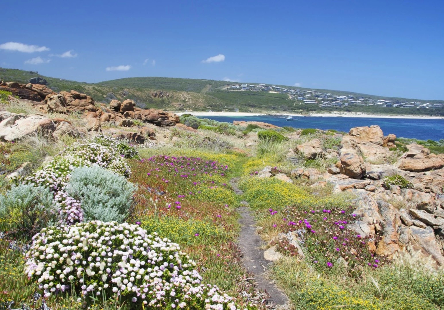
As you embark on the trail, you'll be greeted by the rugged coastline, pristine beaches, and the diverse flora and fauna of the region. The trail offers a mix of terrains, including sandy beaches, rocky outcrops, and forested sections.
In the early stages of the hike, you'll pass by the impressive Sugarloaf Rock, a significant landmark rising from the ocean. Further along, at around the 30-kilometer mark (about 19 miles), you'll encounter the ancient Ngilgi Cave, known for its stunning stalactite and stalagmite formations.
The halfway point of the trail is marked by the Margaret River mouth, a popular spot for surfers and a great place to rest and enjoy the scenery. As you continue south, the trail takes you through Boranup Forest, home to towering karri trees that can reach heights of up to 60 meters (nearly 200 feet).
Wildlife and Nature
The Cape to Cape Track is a haven for wildlife enthusiasts. Keep an eye out for western grey kangaroos, quendas (bandicoots), and a variety of bird species, including the splendid fairy-wren and the red-eared firetail. The coastal sections provide opportunities to spot dolphins and, during the right season, migrating humpback whales.
Historical Significance
The region is rich in history, with the lighthouses at both capes serving as reminders of the maritime heritage. Cape Leeuwin Lighthouse, at the southern end of the trail, is the tallest lighthouse on mainland Australia and marks the point where the Indian and Southern Oceans meet.
Preparing for the Hike
The Cape to Cape Track can be completed in 5 to 7 days, depending on your pace. There are designated campsites along the route, as well as opportunities for accommodation in nearby towns for those who prefer a more comfortable overnight stay.
Water sources are limited, so it's essential to carry sufficient water or have a means to treat water from natural sources. The weather can be variable, so pack layers and be prepared for both sunny and rainy conditions.
Conclusion
The Cape to Cape Track is a medium-difficulty hike that offers a unique blend of coastal and forest scenery, wildlife viewing, and historical sites. With proper planning and preparation, it's an unforgettable adventure that showcases the natural beauty of Western Australia's coastline.

What to expect?
Activity types
Comments and Reviews
User comments, reviews and discussions about the Cape to Cape Track, Western Australia.
4.88
average rating out of 5
16 rating(s)