The best hikes in Raleigh County
West Virginia · 40 HiiKER Hikes
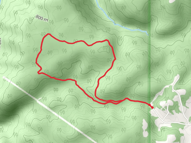
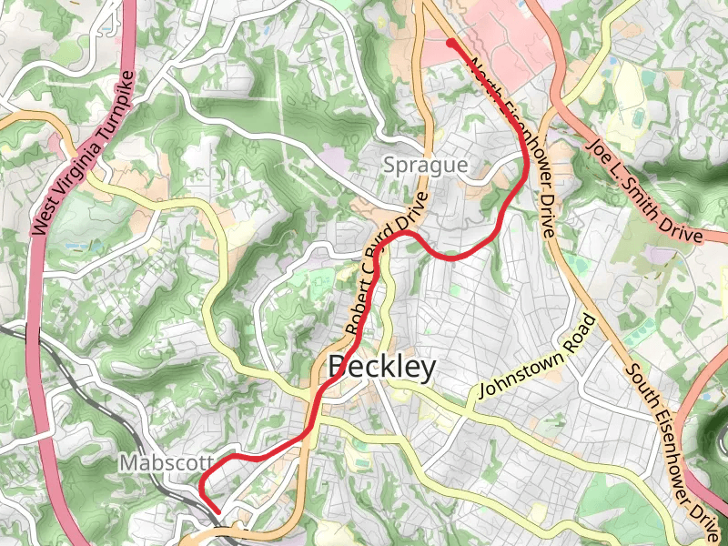
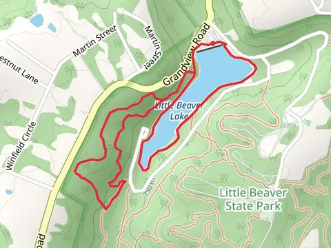
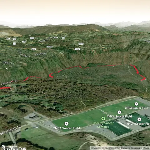
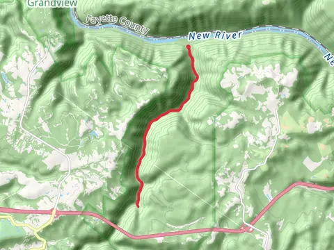
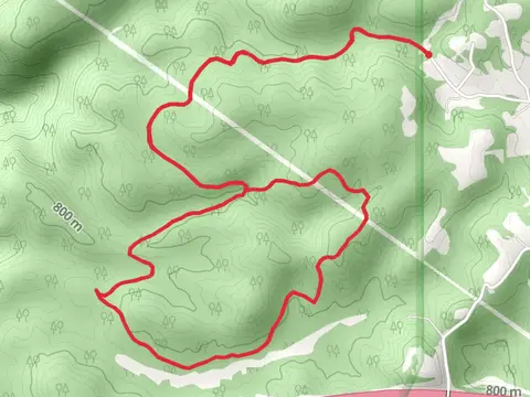
View Hikes on map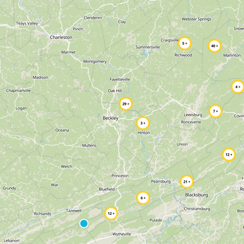
What to expect
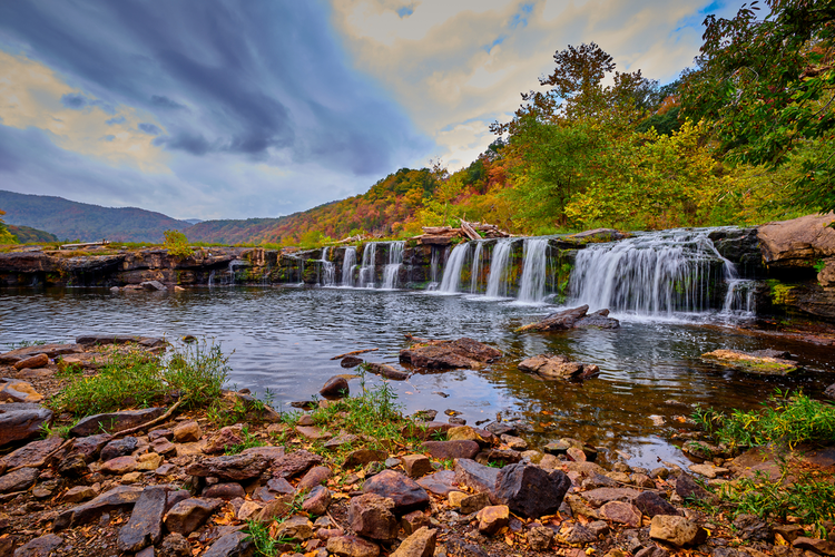
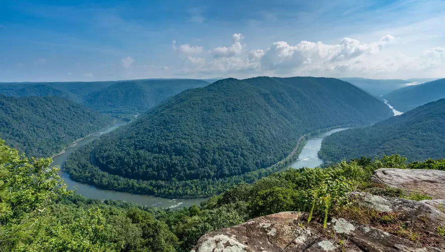
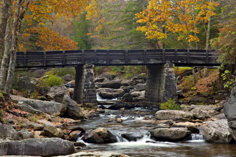
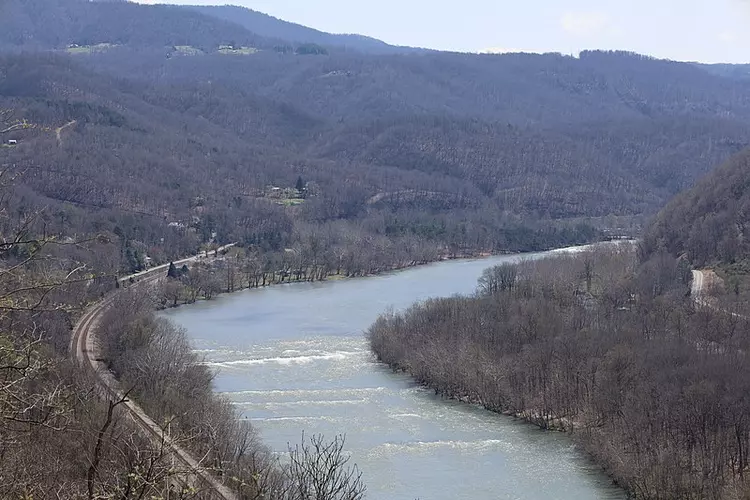
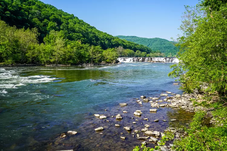
Check out some of the best hiking, walking and backpacking routes in Raleigh County, West Virginia. The Polls Plateau Trail is the most popular trail. There are trails of various difficulty levels including easy and medium. The trail with the highest elevation climb is the Kates Plateau Trail and the trail with the least amount of climbing is the Island Loop Trail. The longest trail is the Glade Creek Trail at 17.6 km. For a shorter adventure you can try the Sandstone Falls Boardwalk at 732 m. Get off line access to Pharmacy, Healthcare, Campsite, and Peak locations and much more with a Hiiker subscription.

Be prepared for hiking in West Virginia with the HiiKER app