The best hikes in Fayette County
West Virginia · 58 HiiKER Hikes
View Hikes on map
What to expect
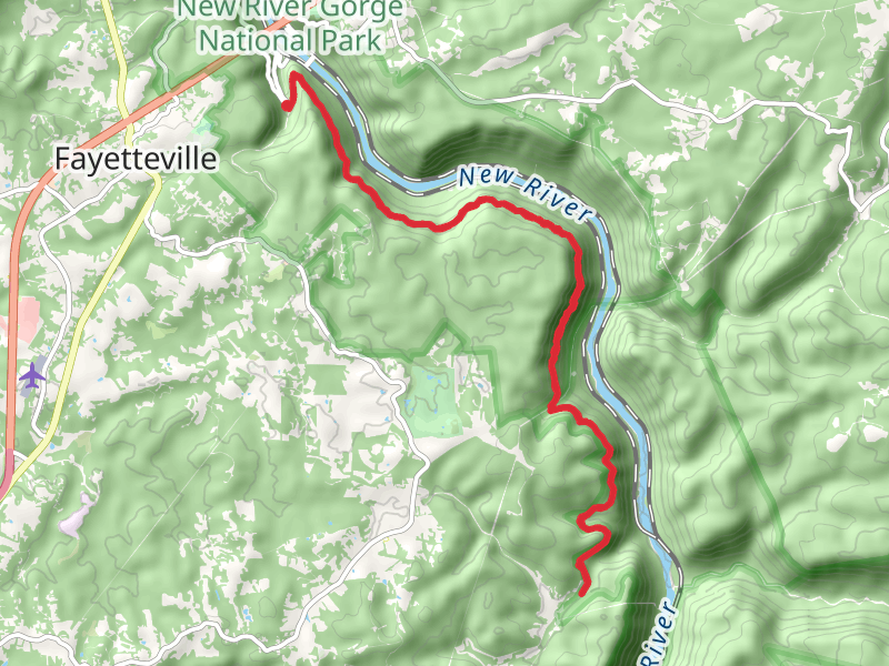
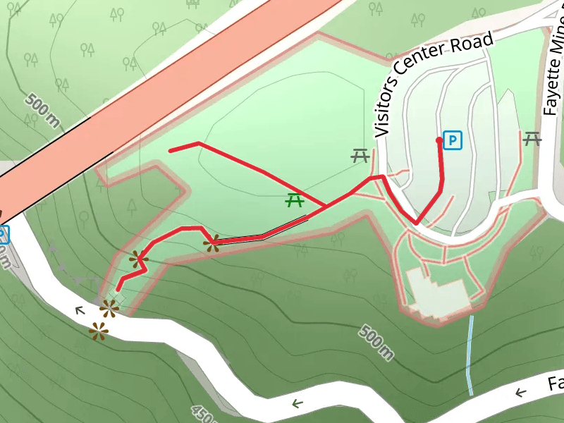
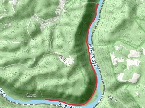
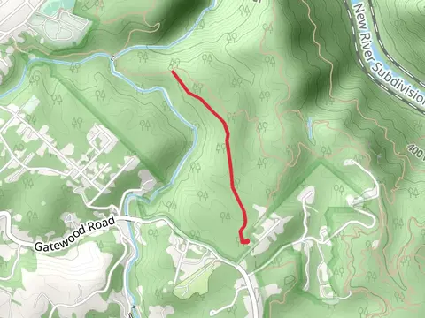
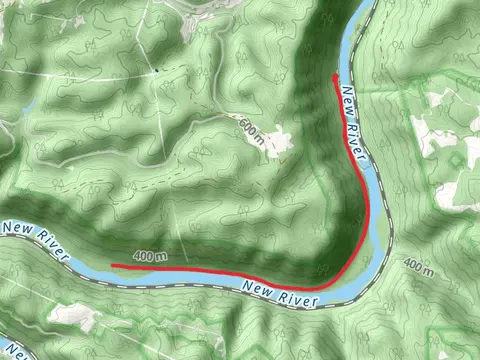
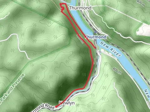
Check out some of the best hiking, walking and backpacking routes in Fayette County, West Virginia. The Thurmond - Southside Trail is the most popular trail. The trails have 2991 user reviews with great photos and information. There are trails of various difficulty levels including medium, difficult, and extra difficult. The trail with the highest elevation climb is the Ridge Top, Skyline and Narrow Gauge Loop Trail and the trail with the least amount of climbing is the Seldom Seen Trail. The longest trail is the Kaymoor Trail at 26.5 km. For a shorter adventure you can try the Bridge Buttress Trail at 230 m. Get off line access to Fastfood, Campsite, History, and Shelter locations and much more with a Hiiker subscription.

Be prepared for hiking in West Virginia with the HiiKER app