The best hikes in Franklin County
Washington · 4 HiiKER Hikes
View Hikes on map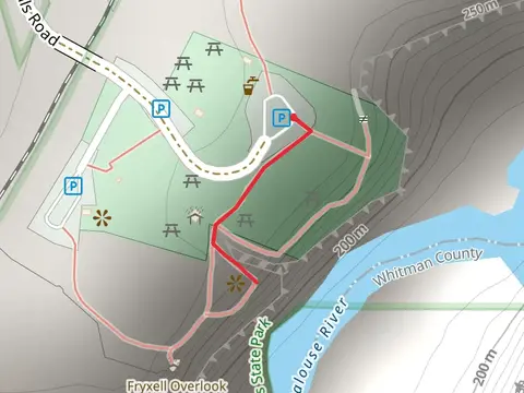


What to expect
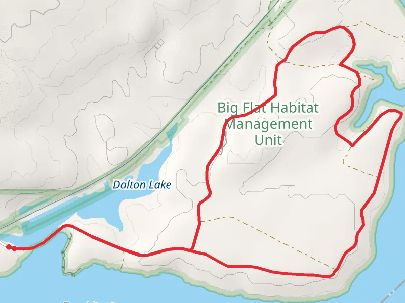
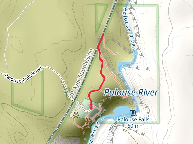
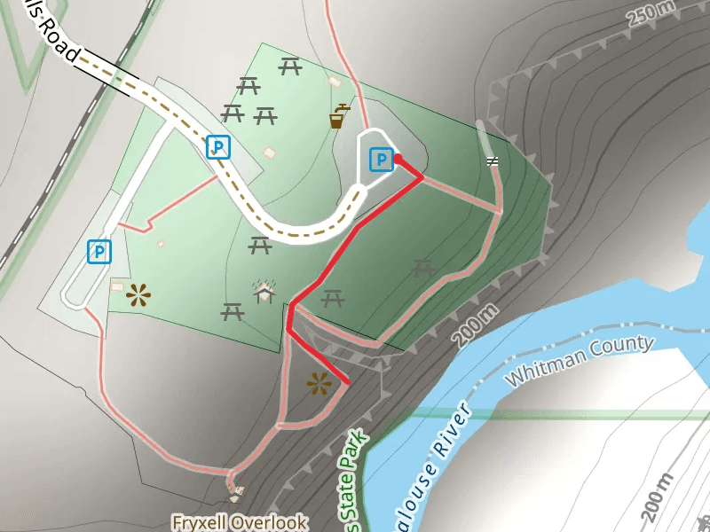
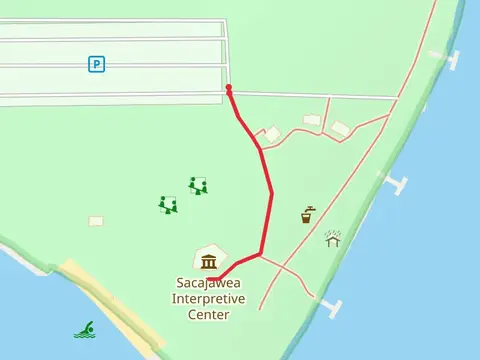
Check out some of the best hiking, walking and backpacking routes in Franklin County, Washington. The Palouse Falls Road is the most popular trail. There are trails of various difficulty levels including easy and medium. The trail with the highest elevation climb is the Palouse Falls Road and the trail with the least amount of climbing is the Sacajawea State Park Interpretive Center. The longest trail is the Big Flat Habitat management Unit Loop at 8.2 km. For a shorter adventure you can try the Palouse Falls Out and Back at 300 m. Get off line access to Town, Water, Viewpoint, and Shelter locations and much more with a Hiiker subscription.

Be prepared for hiking in Washington with the HiiKER app