The best hikes in Rhondda Cynon Taf
Wales · 5 HiiKER Hikes
View Hikes on map

What to expect
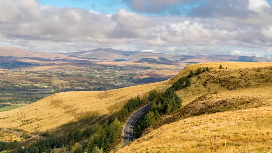
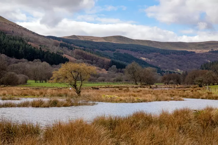
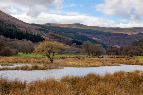
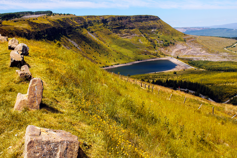
Check out some of the best hiking, walking and backpacking routes in Rhondda Cynon Taf, Wales. The Dare Valley Country Park to Brynmenyn Country Park is the most popular trail. The trails have 220 user reviews with great photos and information. There are trails of various difficulty levels including easy and medium. The trail with the highest elevation climb is the Dare Valley Country Park to Gileston Walk and the trail with the least amount of climbing is the Brynich Lock to Talybont-on-Usk. The longest trail is the Dare Valley Country Park to Gileston Walk at 30.7 km. For a shorter adventure you can try the Penderyn Mineral Line at 3.1 km. Get off line access to Shop, Fastfood, Pub, and Town locations and much more with a Hiiker subscription.

Be prepared for hiking in Wales with the HiiKER app