Download
3D Flyover
Add to list
More
1008.7 km
~41 days
26695 m
Multi-Day
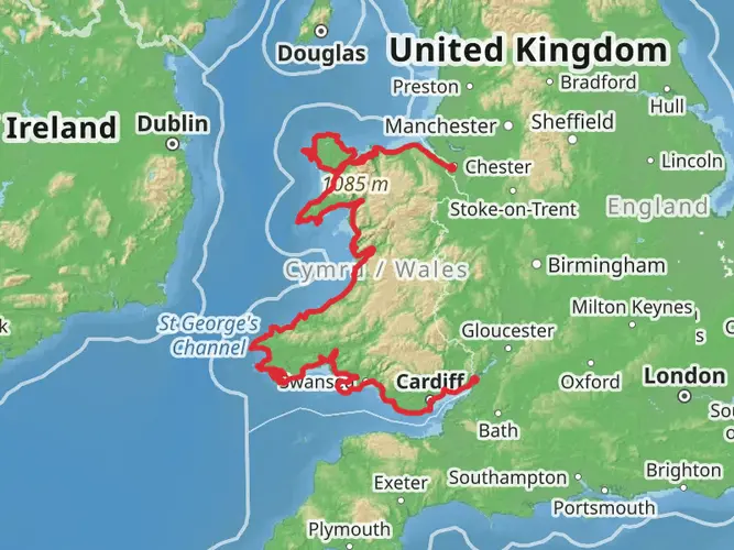
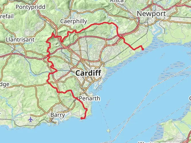
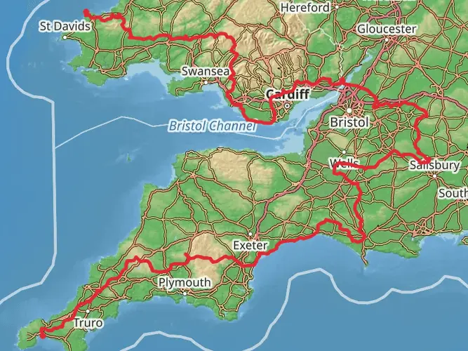
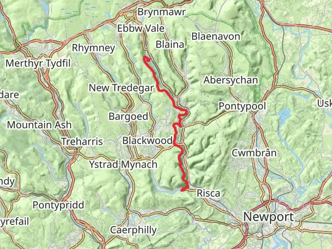
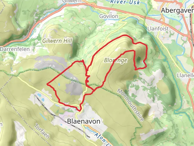
The Wales Cistercian Way is a 1008.7 km trail that starts in Newport, Newport, Wales. Based on our data, the hike is graded as Medium. For information on how we grade trails, please read measuring the difficulty of a hiking trail on hiiker. Also, check our latest community posts for trail updates. This hike can be completed in approx 41 days. Caution is advised on trail times as this depends on multiple variables. For more info read about how we calculate hike time.

What to expect?
Activity types
Frequently asked questions
How long is the Wales Cistercian Way and how many days does the full route usually take?
The Wales Cistercian Way is 1,008.7 km long with 26,695 m of total ascent, so it is a true long-distance, multi-day route rather than a short thru-hike. Most walkers break a route of this scale into many sections over several weeks, with timing depending on daily mileage, rest days, and how much time is spent at the abbeys and historic sites linked by the trail.
Is the Wales Cistercian Way a circular walk from Newport, Wales?
Yes. The Wales Cistercian Way is described as a round-Wales route linking Cistercian sites, and the Newport listing is shown from Newport back to Newport. That makes it a circuit rather than a point-to-point trail, which can simplify transport planning at the beginning and end of a full walk.
What is the difficulty of the Wales Cistercian Way and how much climbing is on it?
The Wales Cistercian Way is rated medium overall, but the numbers show it is still a serious undertaking: 1,008.7 km in distance and 26,695 m of elevation gain. The challenge comes less from technical terrain and more from the cumulative effort of sustained walking over many days across a full circuit of Wales.
Which abbeys and historic sites does the Wales Cistercian Way connect?
The Wales Cistercian Way is designed to link the major Cistercian abbeys and related historic sites around Wales. Published descriptions of the route highlight places such as Cymer Abbey and note that the trail connects iconic Cistercian sites as part of a round-Wales pilgrimage-style walk, with additional churches and heritage locations included along the way.
Can the Wales Cistercian Way be walked in sections instead of all 1,008.7 km at once?
Yes. A 1,008.7 km multi-day trail is commonly tackled in sections, and the circular format from Newport back to Newport makes that practical. Many walkers split a route of this size into regional stages, returning to complete more sections later rather than attempting the entire circuit in one continuous trip.
How do hikers get to the start of the Wales Cistercian Way in Newport by public transport?
Newport is one of the easier access points on the route because Newport Railway Station is part of the national rail network and the city also has local and longer-distance bus services. That gives walkers a practical public-transport hub for joining or leaving the Wales Cistercian Way without needing to finish at a different town.
Comments and Reviews
User comments, reviews and discussions about the Wales Cistercian Way, Wales.
4.53
average rating out of 5
49 rating(s)