The best hikes in Westmoreland County
Virginia · 5 HiiKER Hikes
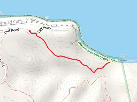
View Hikes on map

What to expect
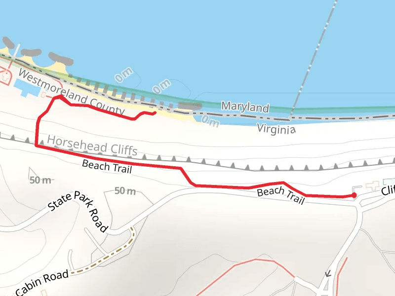
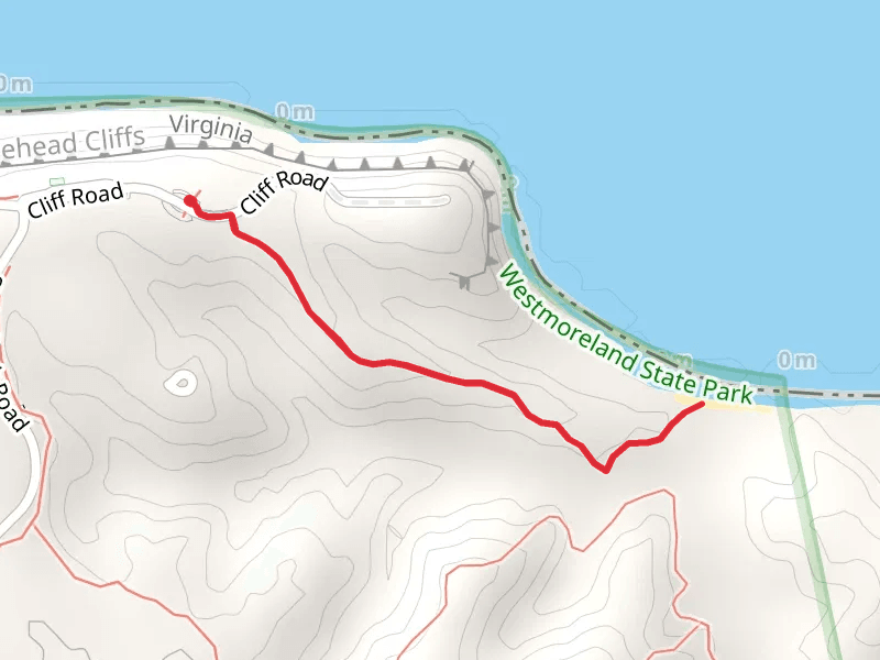
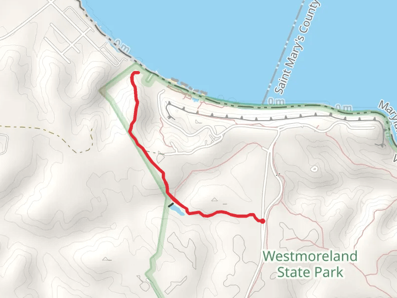
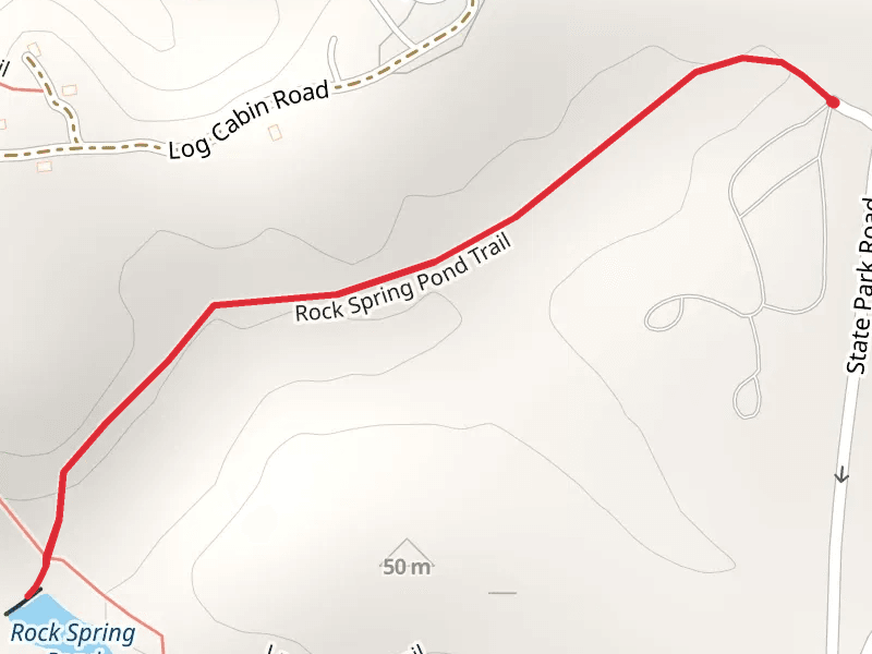
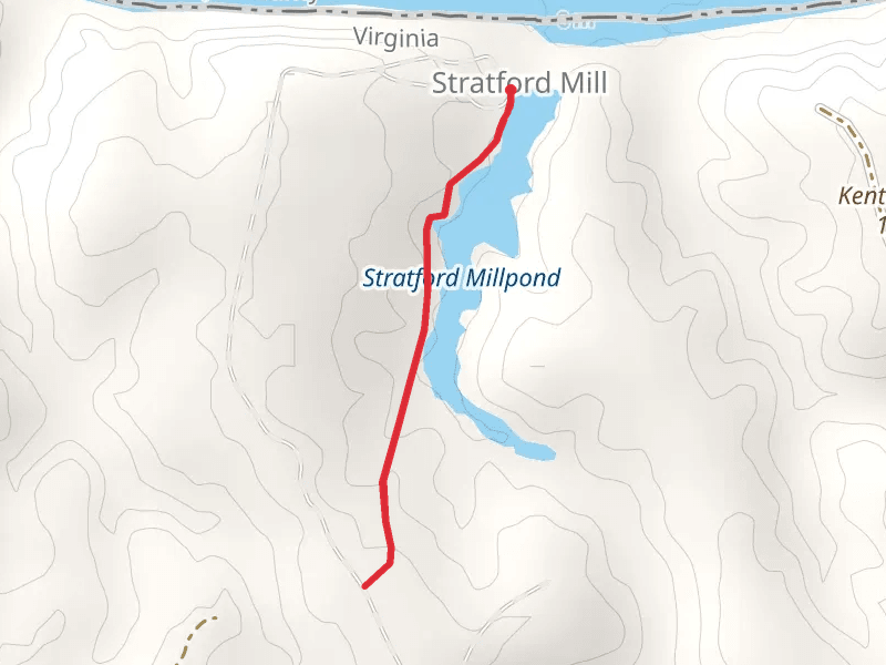
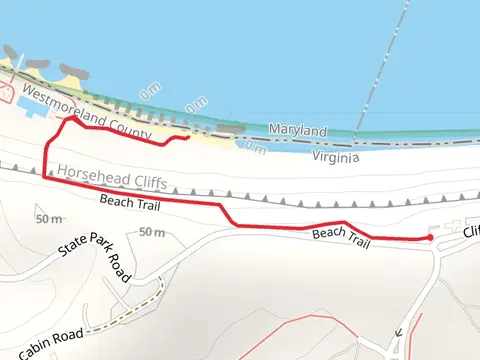
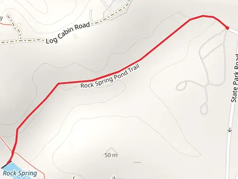
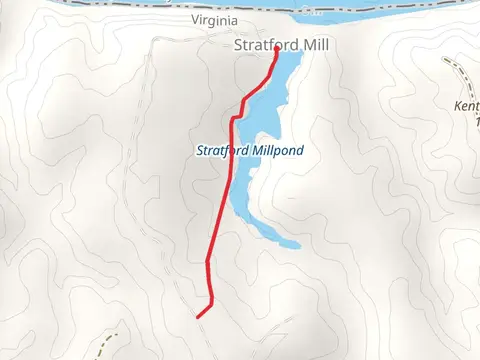
Check out some of the best hiking, walking and backpacking routes in Westmoreland County, Virginia. The Rock Spring Pond and Laurel Point Trail is the most popular trail. The trail with the highest elevation climb is the Horsehead Cliffs - Beach Trail and the trail with the least amount of climbing is the Rock Spring Pond Trail. The longest trail is the Rock Spring Pond and Laurel Point Trail at 3.8 km. For a shorter adventure you can try the Rock Spring Pond Trail at 1.8 km. Get off line access to Peak locations and much more with a Hiiker subscription.

Be prepared for hiking in Virginia with the HiiKER app