The best hikes in Smyth County
Virginia · 50 HiiKER Hikes
View Hikes on map
What to expect
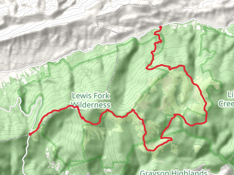
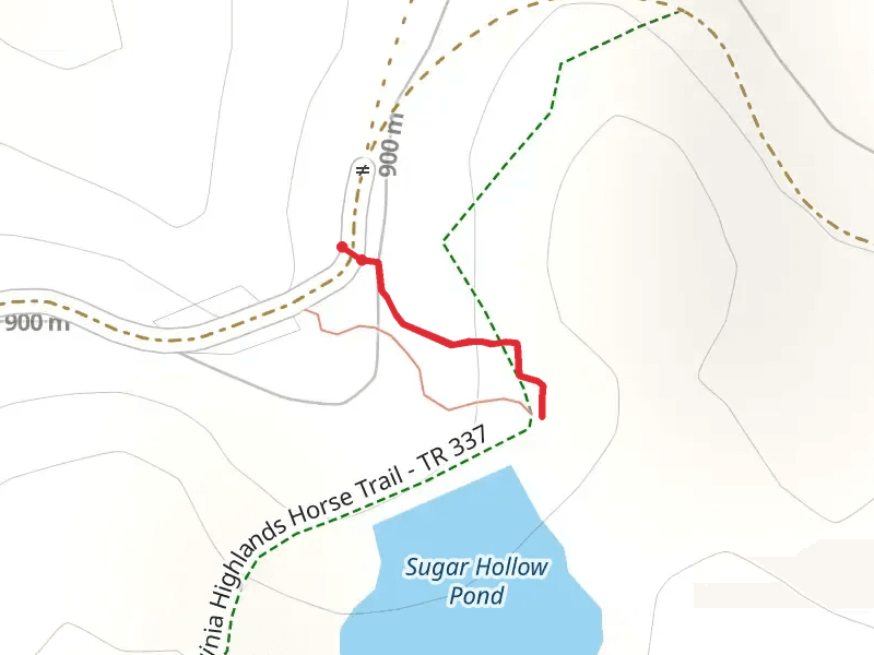
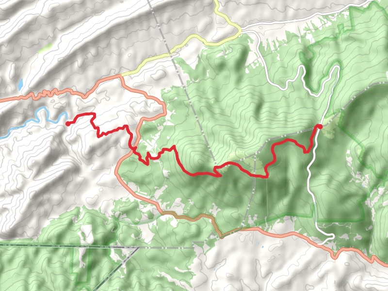
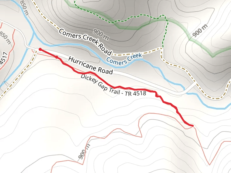
Check out some of the best hiking, walking and backpacking routes in Smyth County, Virginia. The Skulls Gap Trail is the most popular trail. The trails have 641 user reviews with great photos and information. There are trails of various difficulty levels including medium, difficult, and extra difficult. The trail with the highest elevation climb is the Mount Rogers Trail and the trail with the least amount of climbing is the Walk beside Middle Fork Holston River. The longest trail is the Virginia Highlands Trail at 132.9 km. For a shorter adventure you can try the Sugar Hollow Pond Trail at 281 m. Get off line access to Water, Campsite, Shelter, and Peak locations and much more with a Hiiker subscription.

Be prepared for hiking in Virginia with the HiiKER app