The best hikes in Scott County
Virginia · 8 HiiKER Hikes
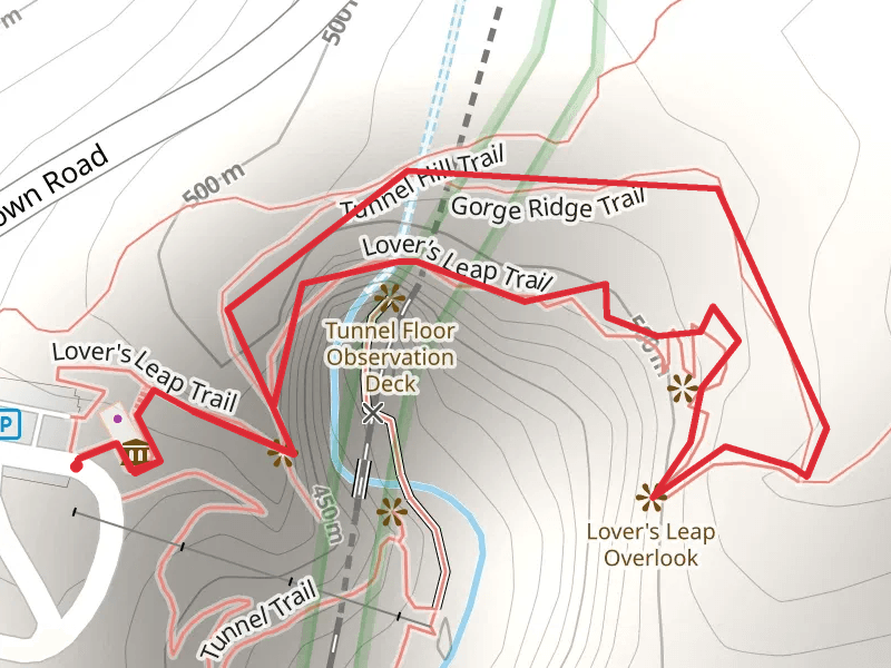
View Hikes on map


What to expect
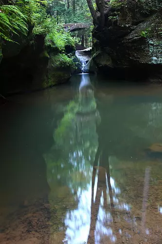
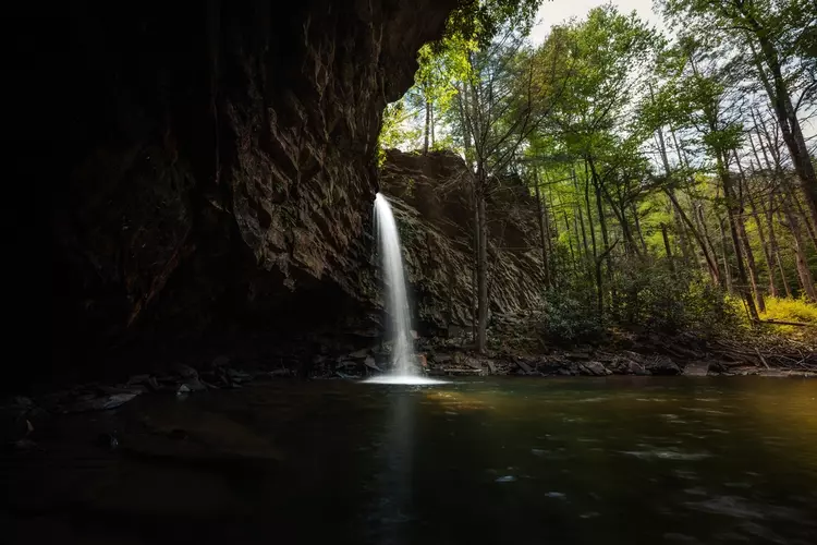
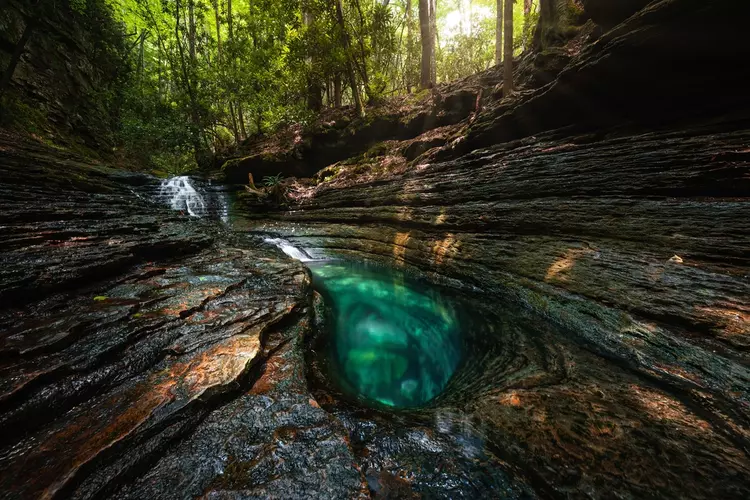
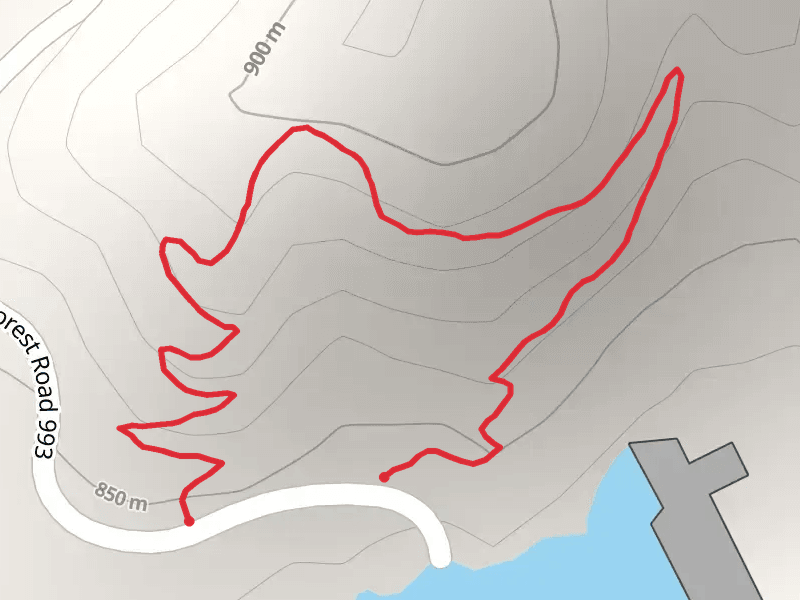
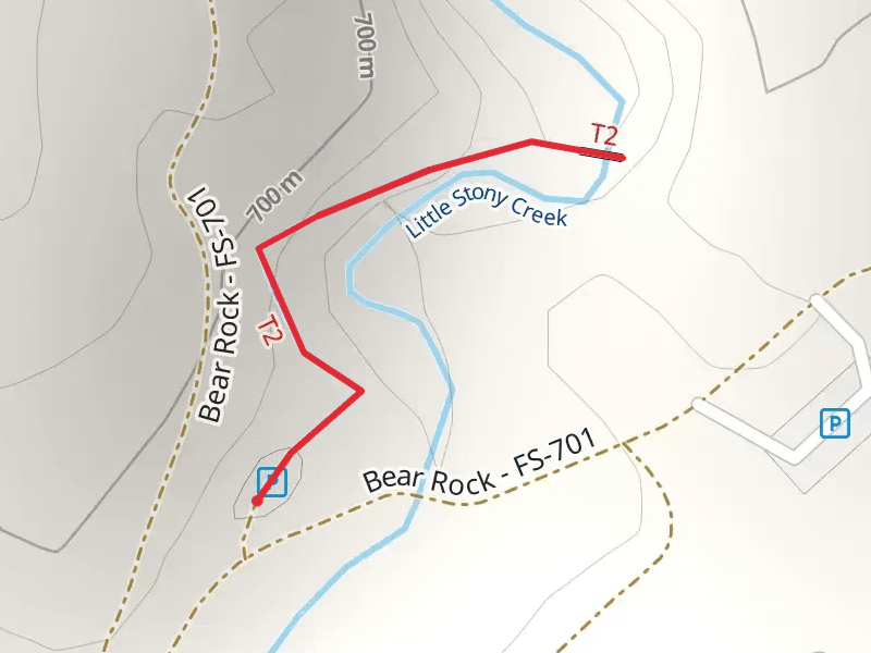
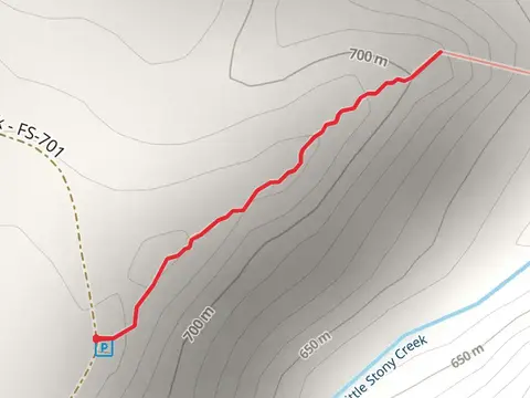
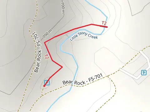
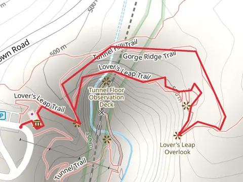
Check out some of the best hiking, walking and backpacking routes in Scott County, Virginia. The Little Stony Trail is the most popular trail. There are trails of various difficulty levels including easy, medium, and difficult. The trail with the highest elevation climb is the Straight Fork Ridge Trail and the trail with the least amount of climbing is the Gorge Ridge and Lover's Leap Loop Trail. The longest trail is the Devils Fork Loop Trail at 11.7 km. For a shorter adventure you can try the Little Stony National Recreation Trail at 637 m. Get off line access to Campsite, Viewpoint, Water, and Peak locations and much more with a Hiiker subscription.

Be prepared for hiking in Virginia with the HiiKER app