The best hikes in Rappahannock County
Virginia · 75 HiiKER Hikes
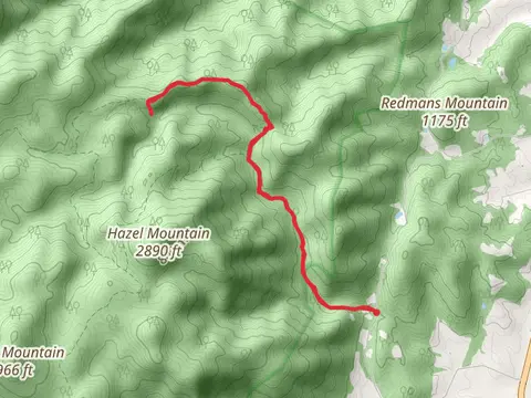
View Hikes on map
What to expect
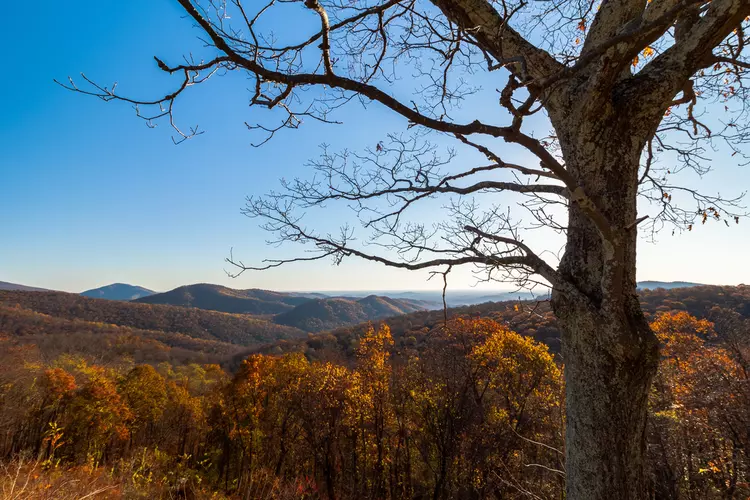
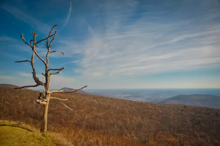
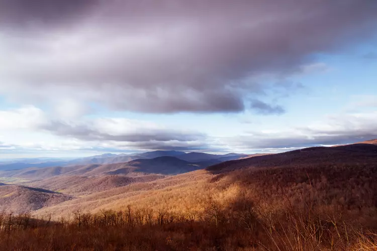
Check out some of the best hiking, walking and backpacking routes in Rappahannock County, Virginia. The Neighbor Mountain - Jeremeys Run Trail is the most popular trail. The trails have 983 user reviews with great photos and information. There are trails of various difficulty levels including easy, medium, difficult, and extra difficult. The trail with the highest elevation climb is the Buck Ridge - Pass Mountain- Marys Rock Loop and the trail with the least amount of climbing is the Thornton River Lower Trail. The longest trail is the Thornton River Trail and Appalachian Trail Loop at 23.1 km. For a shorter adventure you can try the Hogback Spur Trail at 878 m. Get off line access to Campsite, Water, Shelter, and Peak locations and much more with a Hiiker subscription.

Be prepared for hiking in Virginia with the HiiKER app