Download
3D Preview
Add to list
More
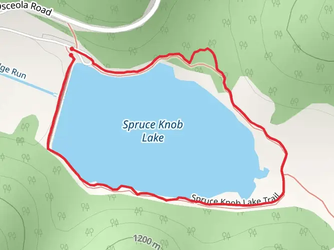
21.2 km
~4 hrs 57 min
434 m
Multi-Day
“Embark on the Laurel Fork Trail's diverse loop through history, nature's chorus, and tranquil creek-side scenes.”
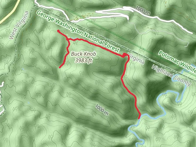
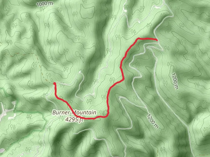
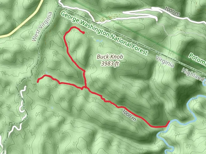
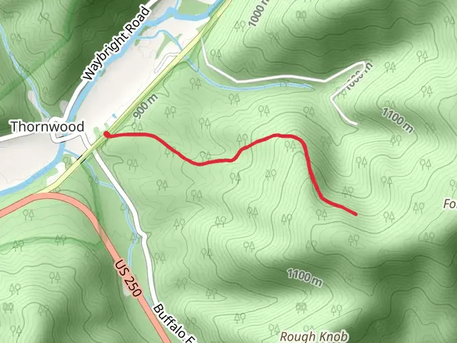
The Laurel Fork Trail, nestled in the picturesque landscape near Highland County, Virginia, offers hikers a moderately challenging loop that spans approximately 21 kilometers (13 miles) with an elevation gain of around 400 meters (1,312 feet). This trail is a delightful journey through a variety of terrains, including dense forests, open meadows, and alongside the serene Laurel Fork Creek.
Getting to the Trailhead
To reach the starting point of the Laurel Fork Trail, hikers can drive to the vicinity of the trailhead, which is located near the intersection of State Route 642 and Laurel Fork Road in Highland County. There is no direct public transportation to the trailhead, so a personal vehicle or a taxi service is required to access the area. Parking is available near the trailhead, allowing for convenient access to the start of the hike.
Trail Experience
As you embark on the Laurel Fork Trail, the initial stretch will take you through a dense canopy of hardwoods, where the sounds of nature come alive with the chirping of birds and the rustling of leaves. The trail is well-marked, but carrying a navigation tool like HiiKER is advisable to keep track of your progress and ensure you stay on the right path.
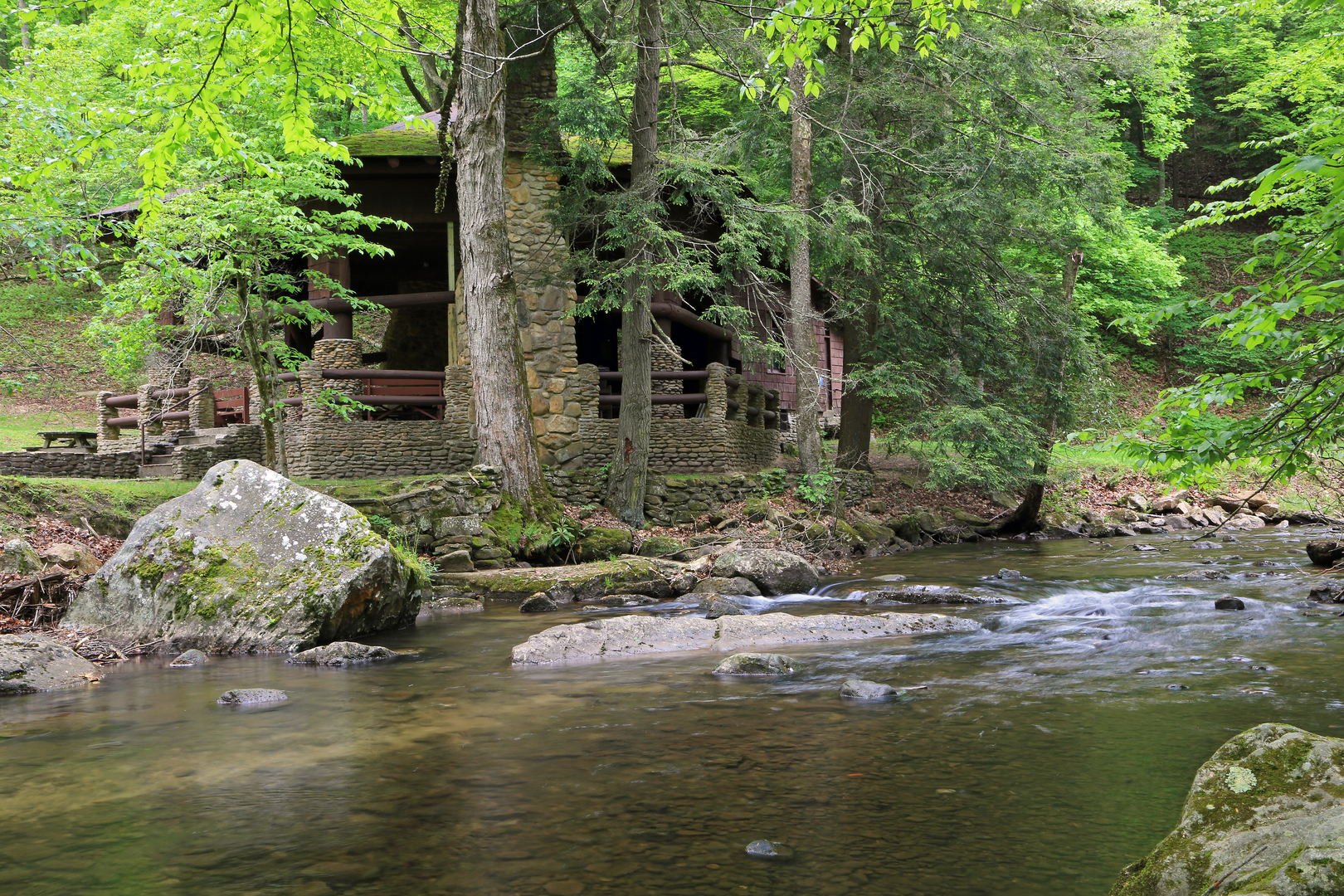
After a few kilometers, the trail opens up to reveal stunning meadows dotted with wildflowers during the spring and summer months. The elevation gain is gradual, making it a pleasant ascent for hikers of varying skill levels. As you continue, the trail will lead you alongside the Laurel Fork Creek, a highlight of the hike, where the gentle flow of water creates a peaceful ambiance.
Historical Significance and Wildlife
The region around the Laurel Fork Trail is steeped in history, with the area having been inhabited by various Native American tribes before European settlers arrived. As you hike, imagine the rich past and the generations of people who have traversed these lands.
The trail is also a haven for wildlife enthusiasts. Keep an eye out for deer, black bears, and a variety of bird species. The diverse ecosystem supports an array of flora and fauna, making it an excellent spot for nature photography.
Navigating the Loop
The loop design of the trail means that you will end your hike where you began, without the need to backtrack. The halfway point of the loop is a perfect place to rest and perhaps enjoy a packed lunch while taking in the natural beauty of the surroundings.
Preparing for the Hike
Before setting out on the Laurel Fork Trail, ensure you have adequate water, as there are limited sources along the route. Also, pack layers of clothing, as temperatures can vary, especially with the change in elevation. Sturdy hiking boots are recommended due to the uneven terrain in certain sections of the trail.
Remember to leave no trace, keeping the trail pristine for future hikers and preserving the natural habitat of the wildlife that calls this area home.

What to expect?
Activity types
Comments and Reviews
User comments, reviews and discussions about the Laurel Fork Trail, Virginia.
4.78
average rating out of 5
9 rating(s)