The best hikes in Highland County
Virginia · 18 HiiKER Hikes
View Hikes on map
What to expect
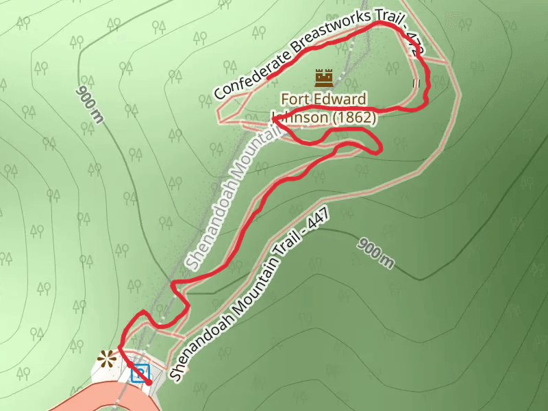
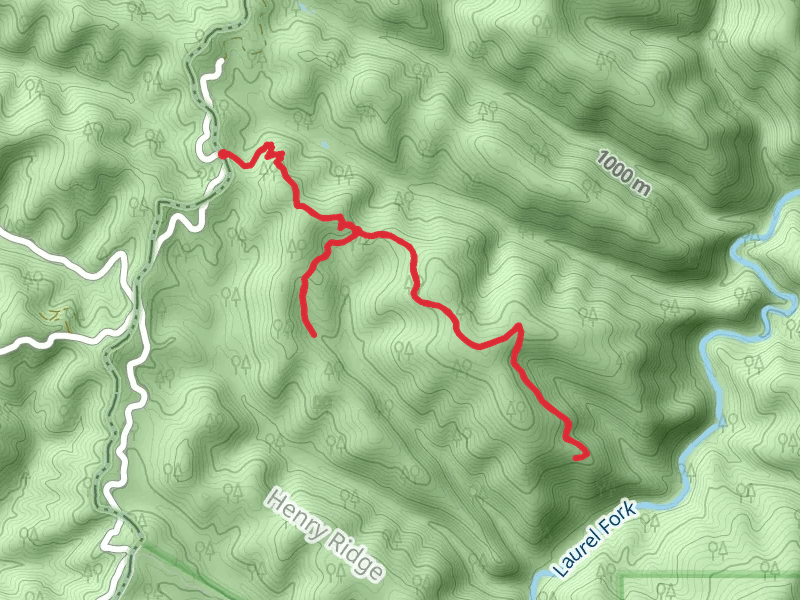
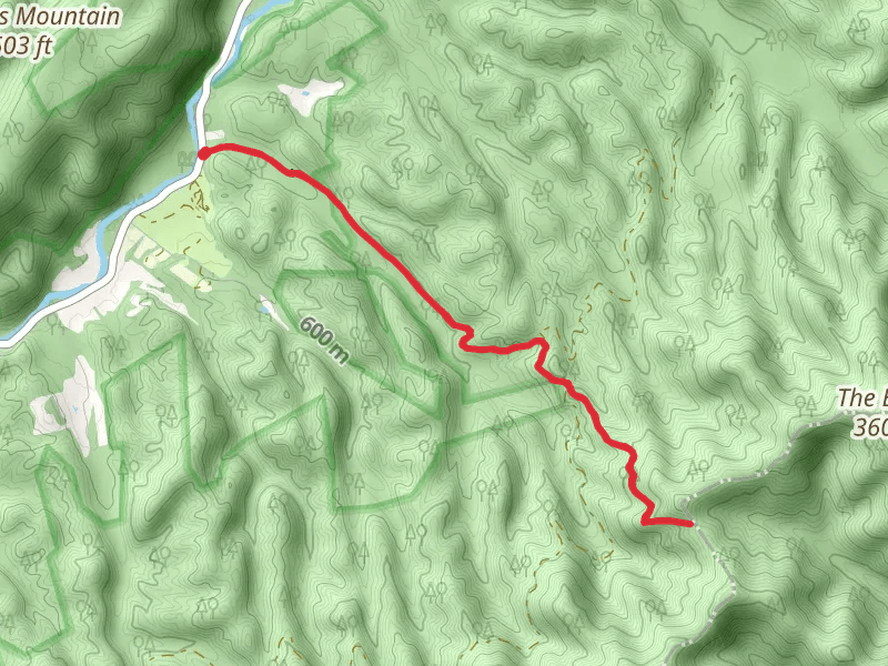
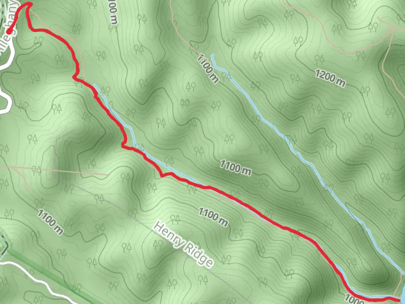
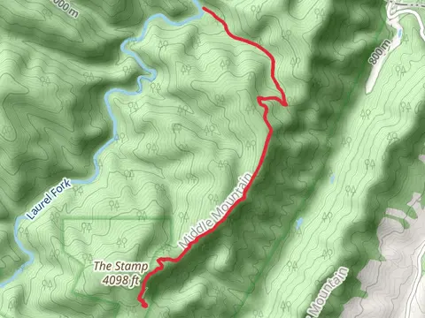
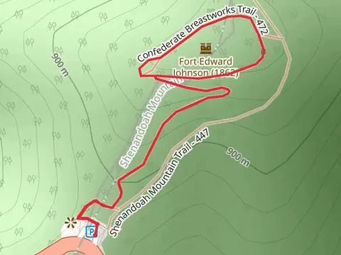
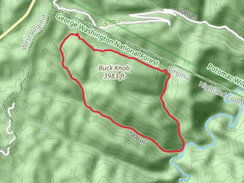
Check out some of the best hiking, walking and backpacking routes in Highland County, Virginia. The Laurel Fork Trail is the most popular trail. The trails have 111 user reviews with great photos and information. There are trails of various difficulty levels including medium and difficult. The trail with the highest elevation climb is the Lost Trail and the trail with the least amount of climbing is the Vance Trail. The longest trail is the Laurel Fork Trail at 21.2 km. For a shorter adventure you can try the Confederate Breastworks Loop Trail at 1.1 km. Get off line access to Water, History, Campsite, and Peak locations and much more with a Hiiker subscription.

Be prepared for hiking in Virginia with the HiiKER app