Download
3D Preview
Add to list
More
65.5 km
~3 days
432 m
Multi-Day
“Embark on the Fairfax Cross Country Trail for a historical and nature-filled 40-mile adventure.”
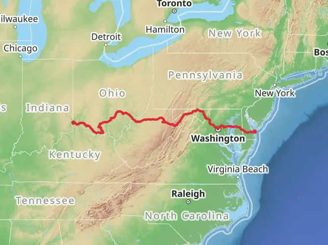
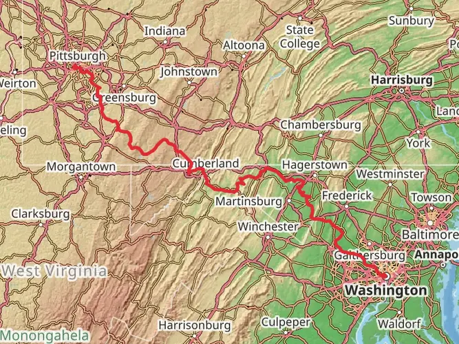
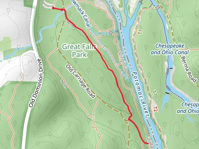
Spanning approximately 40 miles (65 kilometers) with an elevation gain of around 1,300 feet (400 meters), the Fairfax Cross Country Trail offers a diverse and engaging hiking experience through the heart of Fairfax County, Virginia. This point-to-point trail is a medium-difficulty trek that weaves through a variety of landscapes, from dense woodlands to open meadows, and along streams and residential areas.
Getting to the Trailhead
The trailhead is conveniently located near Fairfax County, Virginia. For those driving, parking is available at the trail's starting point, which can be found with the help of HiiKER for precise navigation. Public transportation options are also available for reaching the trailhead, with local bus services providing access to nearby stops, from where the trail can be reached with a short walk.
Trail Experience
As you embark on the Fairfax Cross Country Trail, you'll traverse a mix of terrains that will take you through some of the county's most picturesque natural settings. The trail is well-marked, but carrying a map or using HiiKER for digital navigation is recommended to keep track of your progress and any upcoming changes in the landscape.
Historical Significance
The region is steeped in history, with the trail occasionally crossing paths with historical landmarks and sites that date back to the Civil War era. Hikers can expect to encounter interpretive signs that offer insights into the area's past, providing a unique educational component to the journey.
Nature and Wildlife
The trail is a haven for local wildlife, and it's not uncommon to spot deer, foxes, and a variety of bird species. The changing seasons bring different flora and fauna to the forefront, making the trail a year-round destination for nature enthusiasts.
Landmarks and Points of Interest
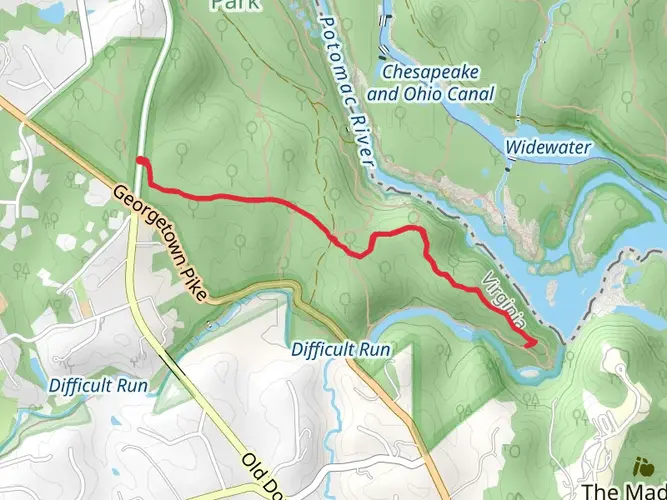
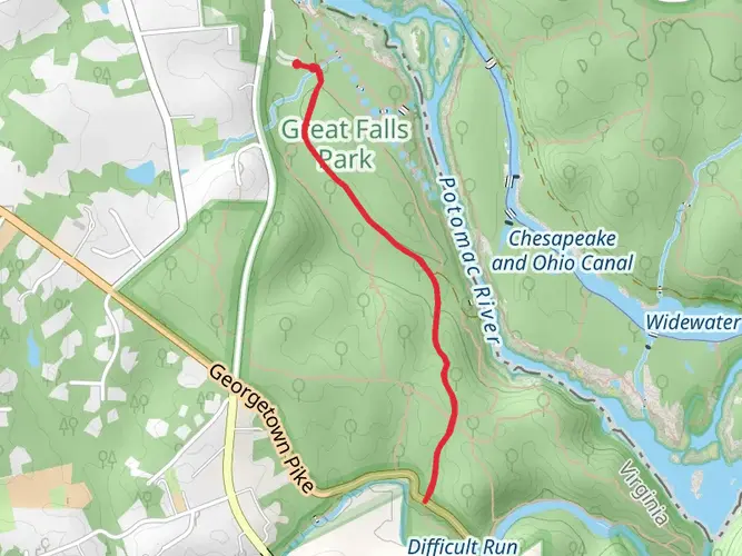
Along the route, hikers will find several significant landmarks and natural features. The trail crosses multiple streams, which are particularly beautiful after rainfall when the water levels are higher. There are also several parks and nature reserves adjacent to the trail, offering opportunities for rest and exploration.
Preparation and Planning
Before setting out, hikers should prepare for the trail's length and varied terrain by packing sufficient water, snacks, and a first-aid kit. Weather-appropriate clothing and sturdy hiking boots are essential for a comfortable experience. It's also wise to inform someone of your hiking plans and expected return time.
Elevation and Distance
The trail's elevation gain is gradual, making it accessible for hikers with a moderate level of fitness. The 40-mile journey can be completed in sections or as a multi-day hike, with various access points along the route for those looking to tackle shorter segments.
Remember, the Fairfax Cross Country Trail is a shared space, so you may encounter cyclists and runners. Always practice good trail etiquette and leave no trace to preserve the beauty and integrity of the trail for future visitors.

What to expect?
Activity types
Comments and Reviews
User comments, reviews and discussions about the Fairfax Cross Country Trail, Virginia.
4.57
average rating out of 5
7 rating(s)