The best hikes in Dickenson County
Virginia · 9 HiiKER Hikes
View Hikes on map
What to expect
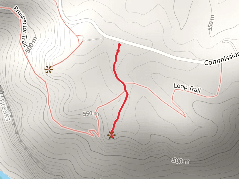
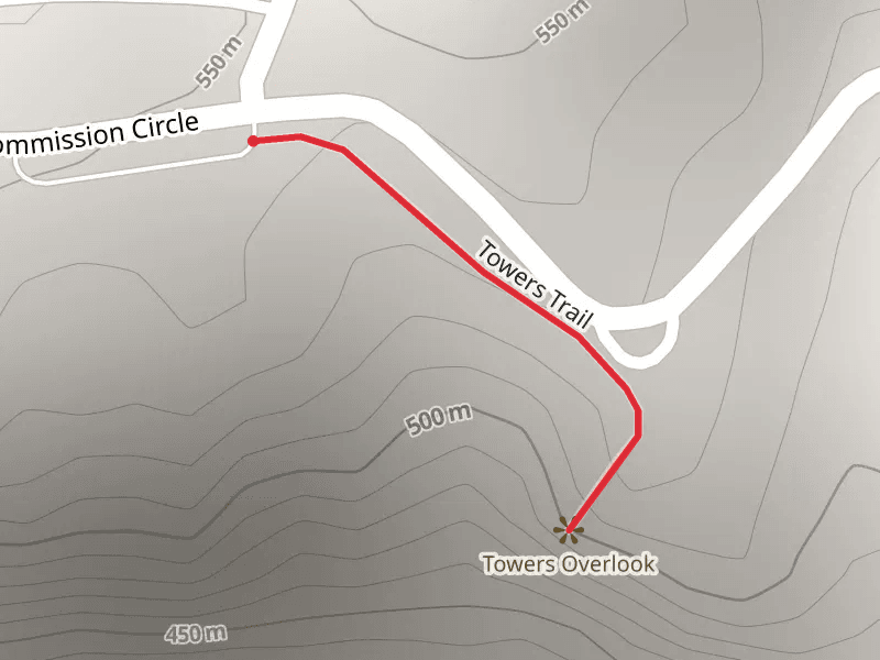
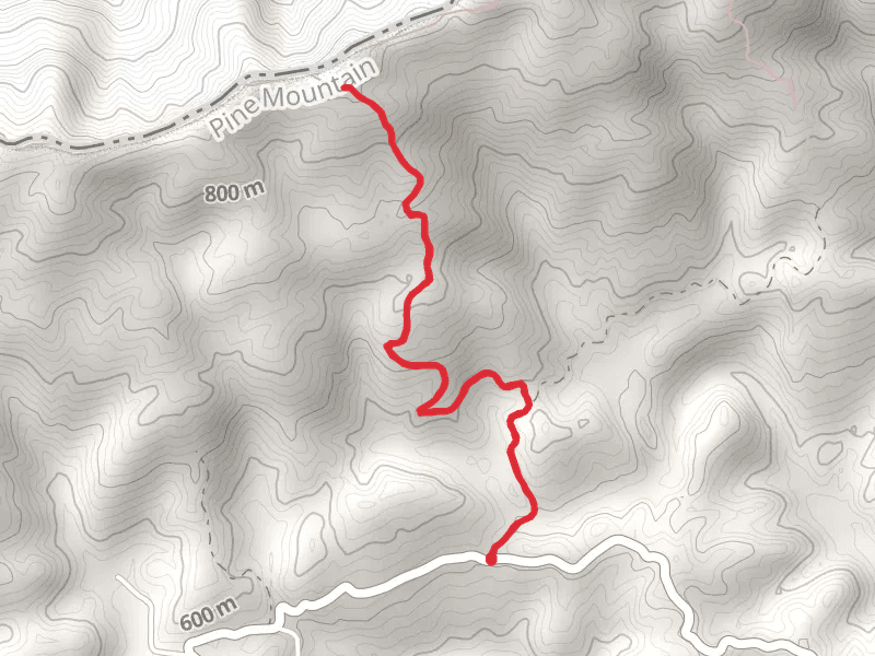
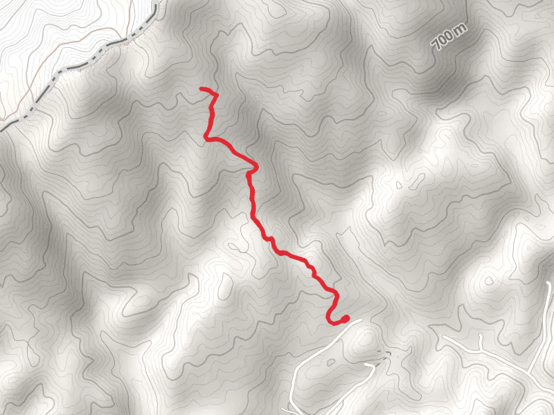
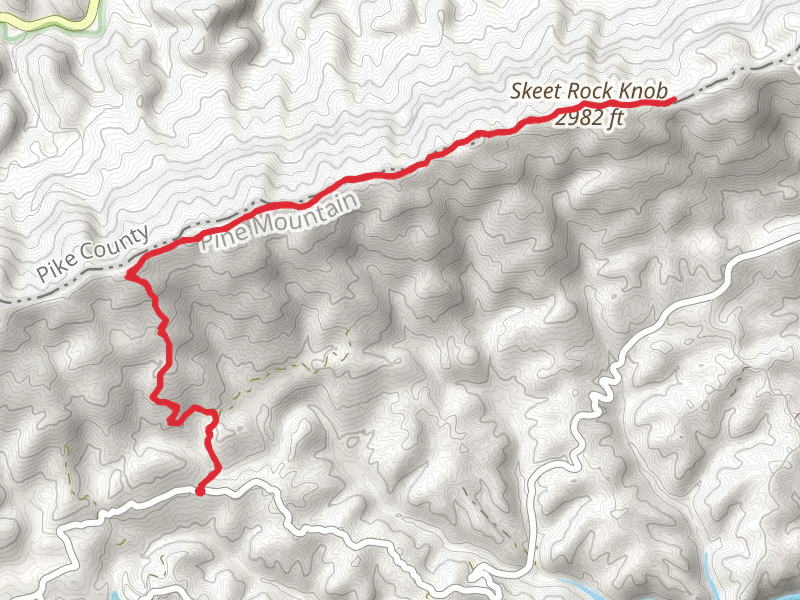
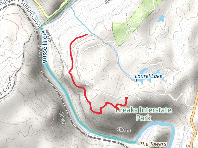
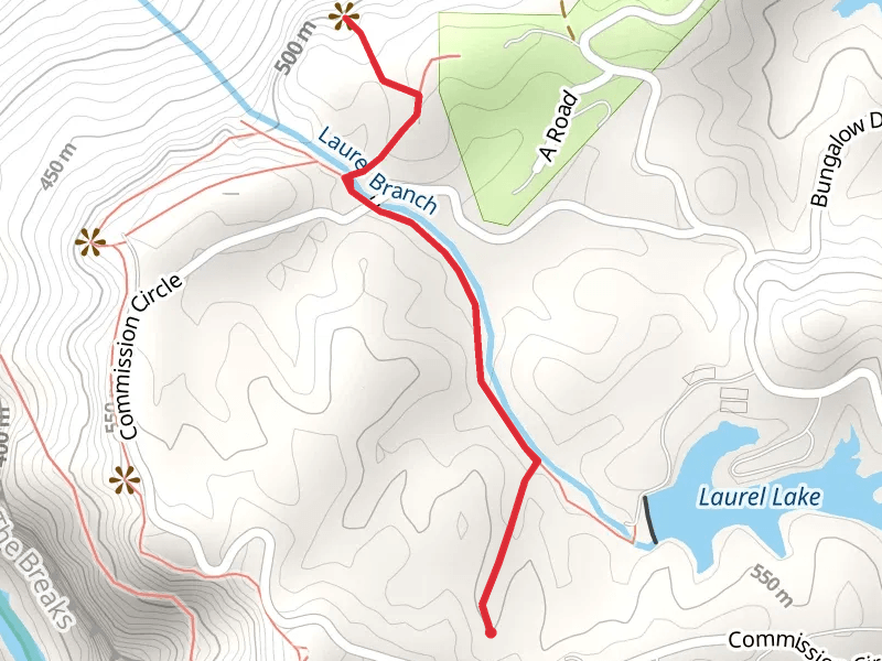
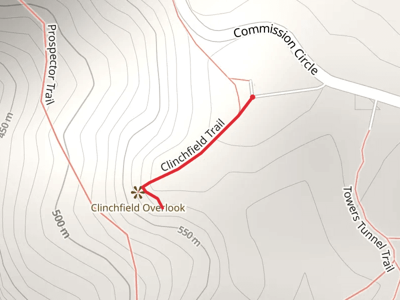
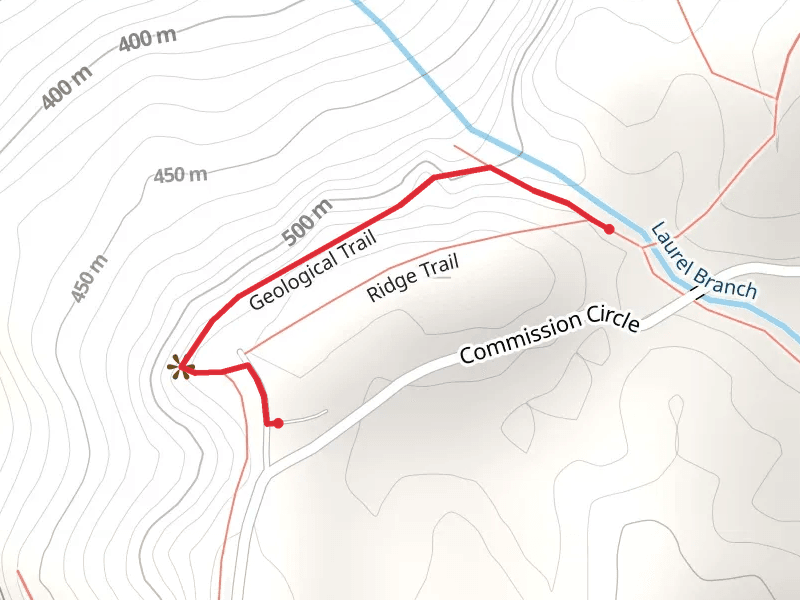
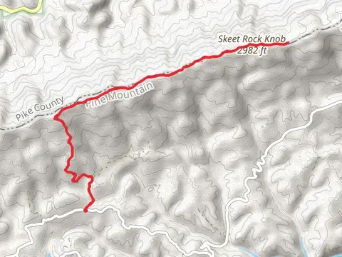
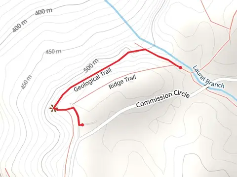
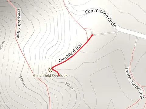
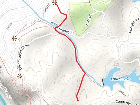
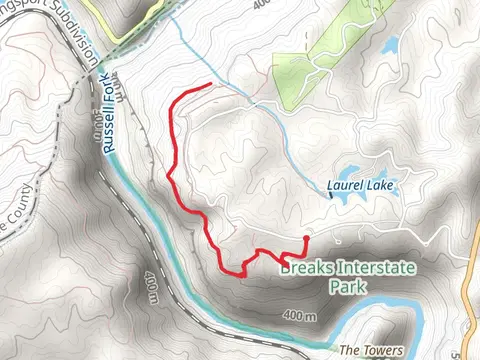
Check out some of the best hiking, walking and backpacking routes in Dickenson County, Virginia. The Counts Cabin Trail is the most popular trail. There are trails of various difficulty levels including easy, medium, and difficult. The trail with the highest elevation climb is the Skeet Rock Knob from Bartick Road and the trail with the least amount of climbing is the Geological and Ridge Loop Trail. The longest trail is the Skeet Rock Knob from Bartick Road at 14.7 km. For a shorter adventure you can try the Clinchfield Trail at 330 m. Get off line access to Water, Peak, Shelter, and Viewpoint locations and much more with a Hiiker subscription.

Be prepared for hiking in Virginia with the HiiKER app