The best hikes in Craig County
Virginia · 17 HiiKER Hikes
View Hikes on map
What to expect
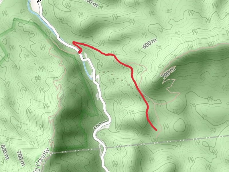
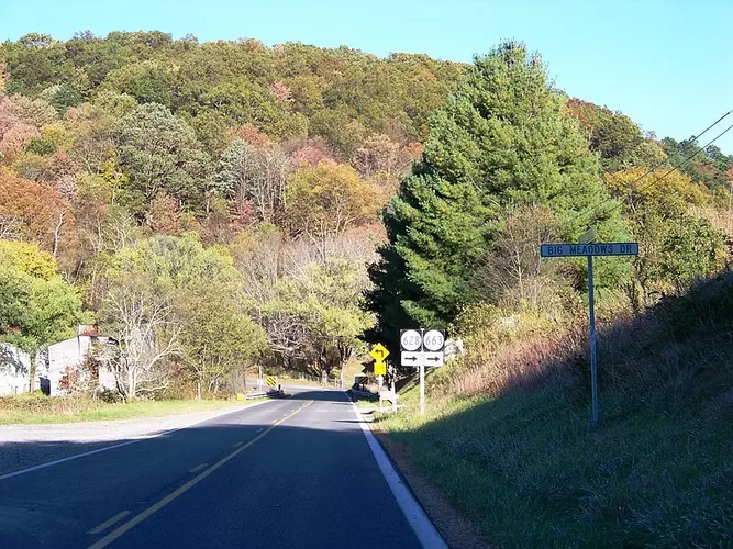
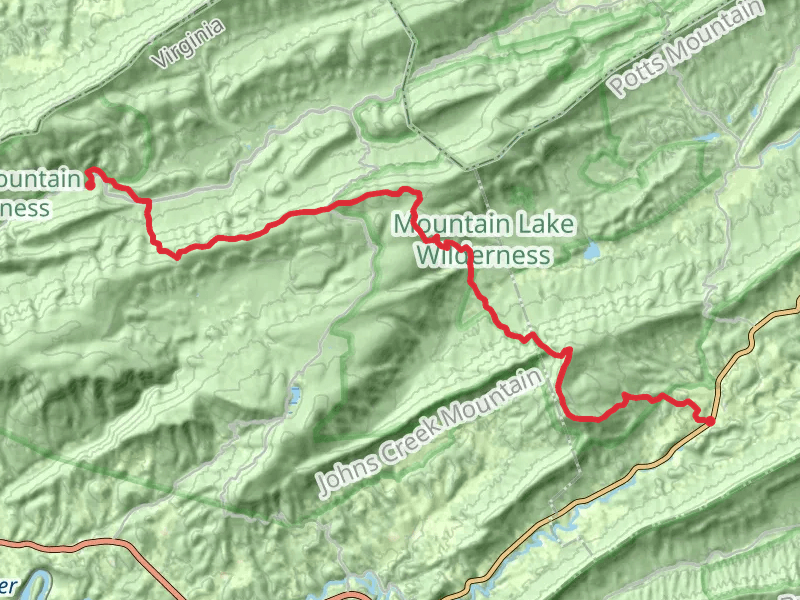
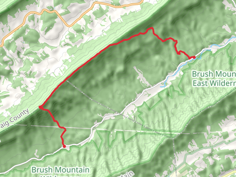
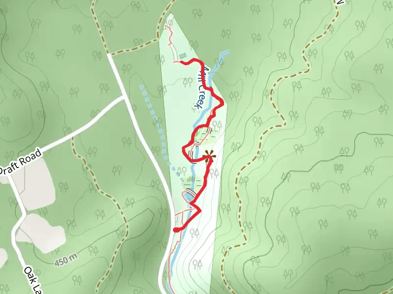
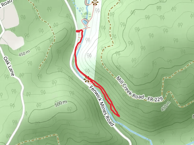
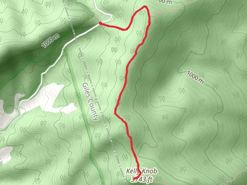
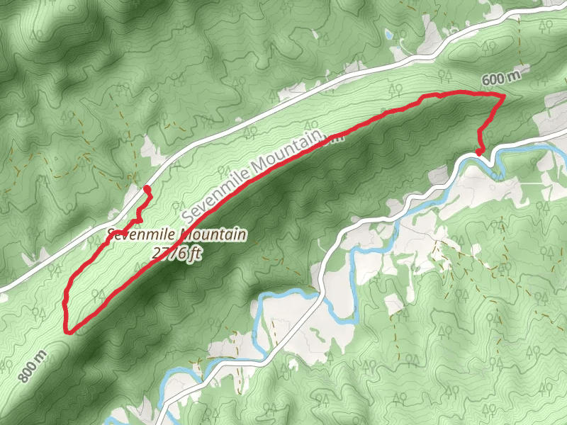
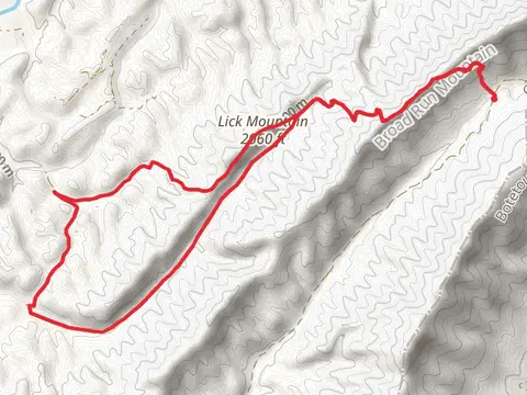
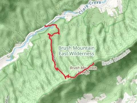
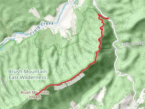
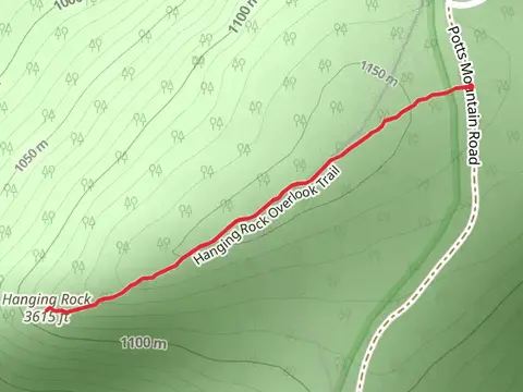
Check out some of the best hiking, walking and backpacking routes in Craig County, Virginia. The Pickle Branch Shelter via Appalachian Trail is the most popular trail. There are trails of various difficulty levels including medium and difficult. The trail with the highest elevation climb is the Appalachian Trail from Prices Turnpike and Cumberland Gap Road and the trail with the least amount of climbing is the Fenwick Nature Trail. The longest trail is the Appalachian Trail from Prices Turnpike and Cumberland Gap Road at 33.9 km. For a shorter adventure you can try the Hanging Rock at 1.5 km. Get off line access to Campsite, Water, Shelter, and Peak locations and much more with a Hiiker subscription.

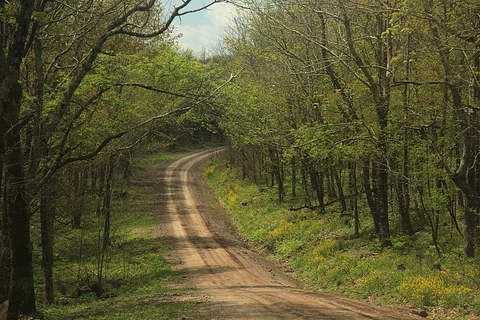
Be prepared for hiking in Virginia with the HiiKER app