The best hikes in City of Norton
Virginia · 4 HiiKER Hikes
View Hikes on map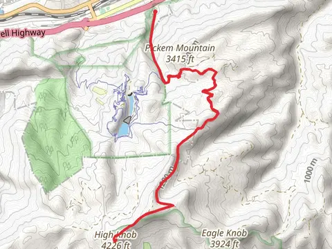

What to expect
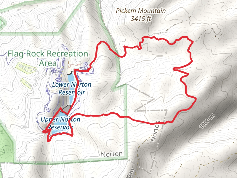
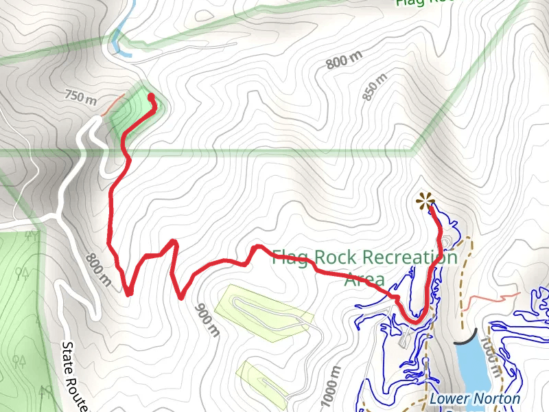
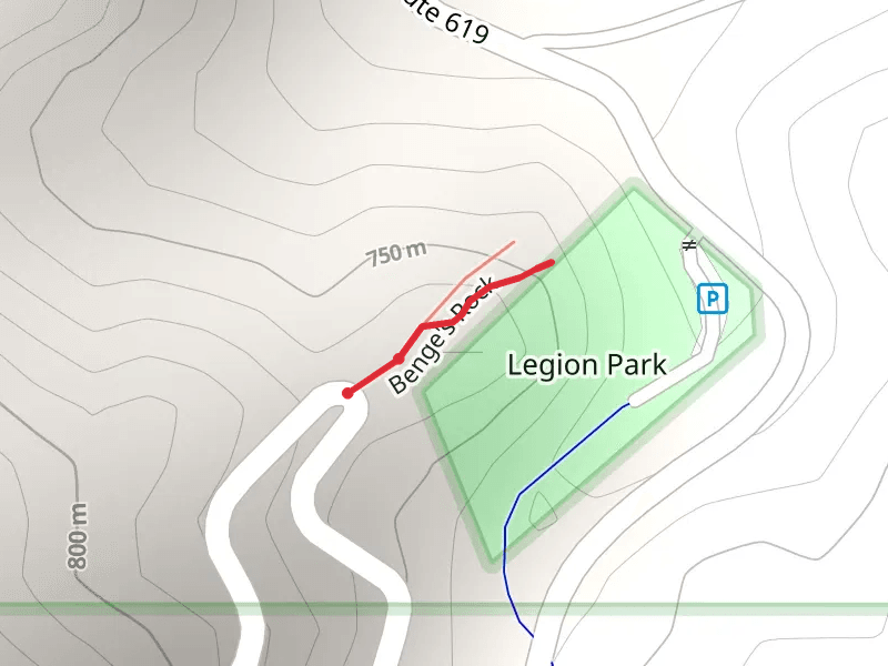
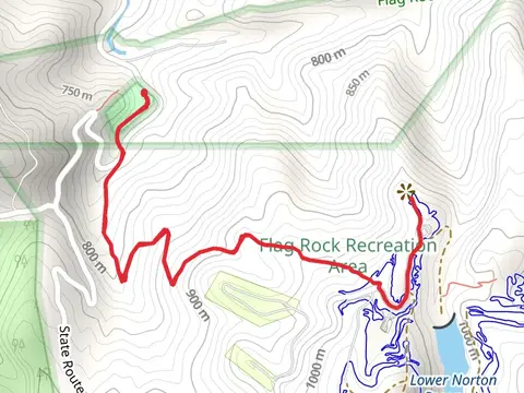
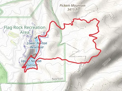
Check out some of the best hiking, walking and backpacking routes in City of Norton, Virginia. The Legion Park is the most popular trail. There are trails of various difficulty levels including easy and medium. The trail with the highest elevation climb is the High Knob via Lost Creek Trail and the trail with the least amount of climbing is the Benge's Rock. The longest trail is the High Knob via Lost Creek Trail at 16.1 km. For a shorter adventure you can try the Benge's Rock at 215 m. Get off line access to Pharmacy, Peak, Fastfood, and Restaurant locations and much more with a Hiiker subscription.

Be prepared for hiking in Virginia with the HiiKER app