The best hikes in Bland County
Virginia · 16 HiiKER Hikes
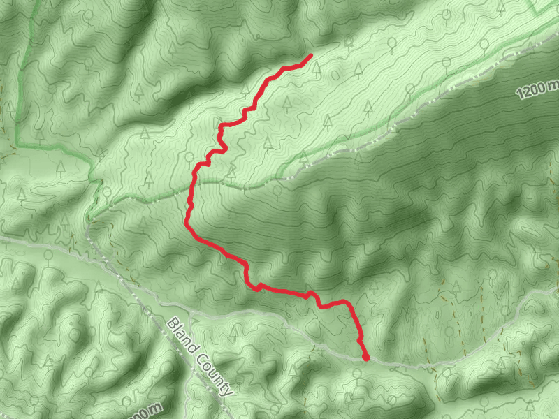
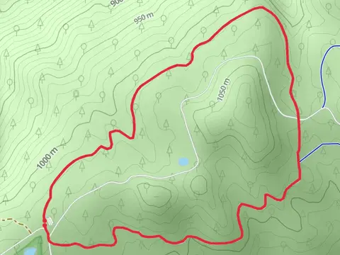
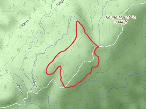
View Hikes on map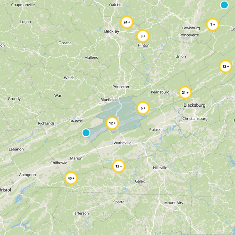
What to expect
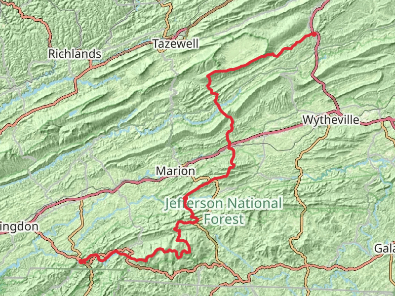
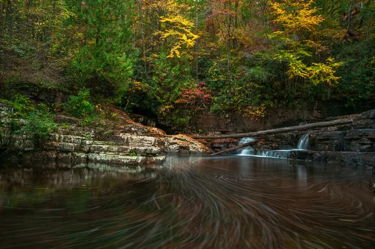
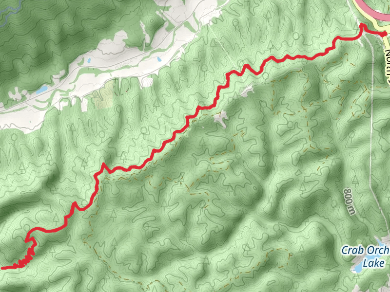
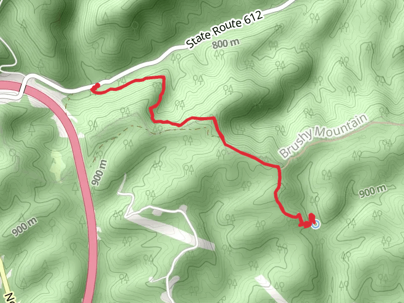
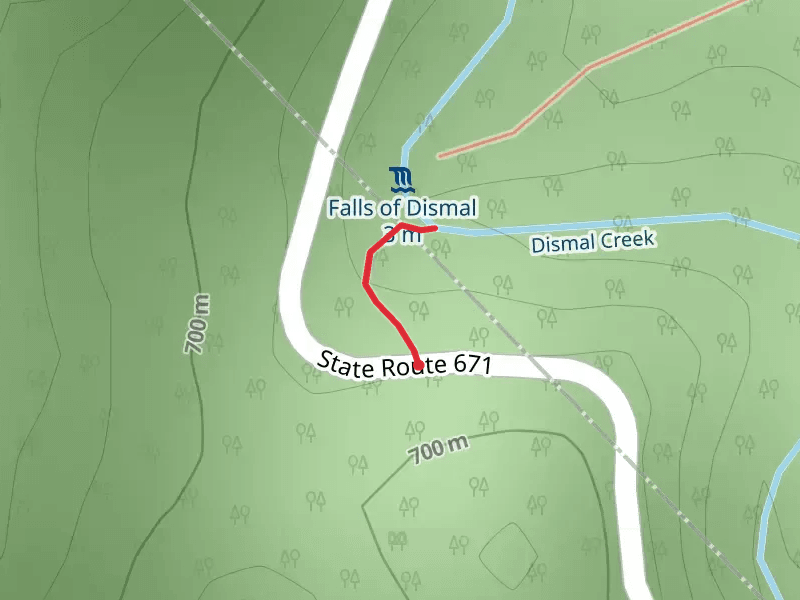
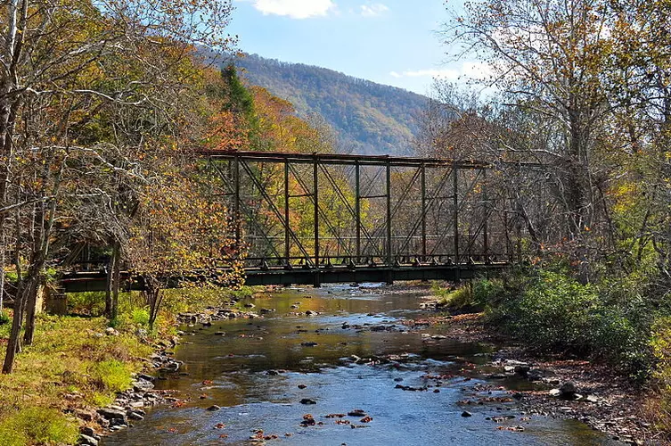
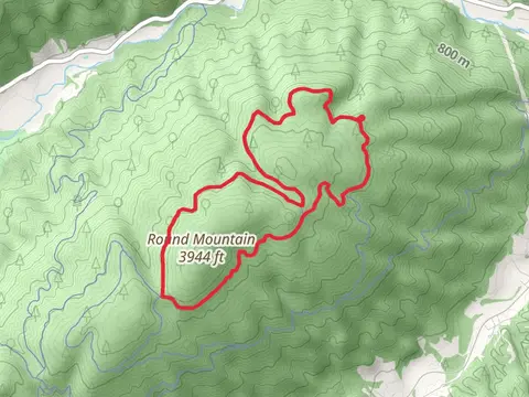
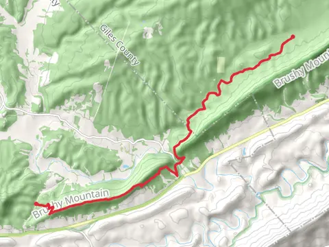
Check out some of the best hiking, walking and backpacking routes in Bland County, Virginia. The Appalachian Trail Section Hike - Bland to Damascus is the most popular trail. The trails have 131 user reviews with great photos and information. There are trails of various difficulty levels including easy, medium, and difficult. The trail with the highest elevation climb is the Appalachian Trail Section Hike - Bland to Damascus and the trail with the least amount of climbing is the Dismal Falls and Dismal Creek Trail. The longest trail is the Appalachian Trail Section Hike - Bland to Damascus at 182.9 km. For a shorter adventure you can try the Dismal Falls Trail at 149 m. Get off line access to Healthcare, Shelter, Campsite, and Peak locations and much more with a Hiiker subscription.

Be prepared for hiking in Virginia with the HiiKER app