The best hikes in Bath County
Virginia · 46 HiiKER Hikes
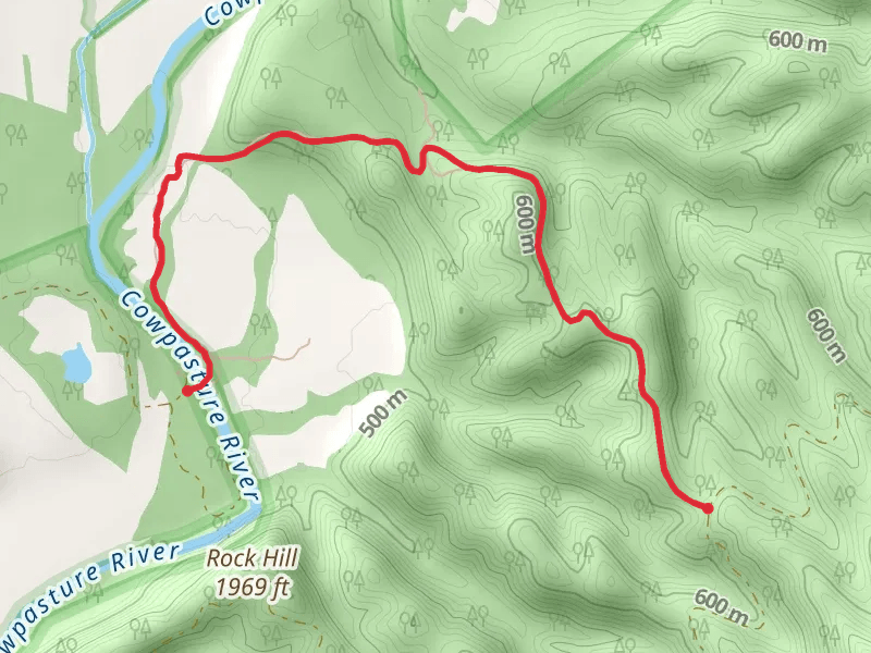
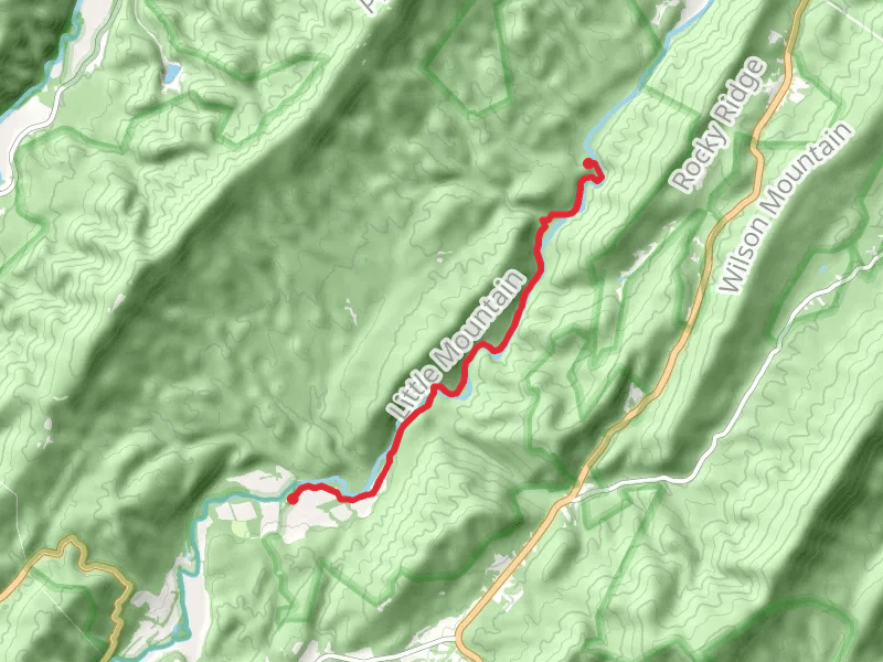
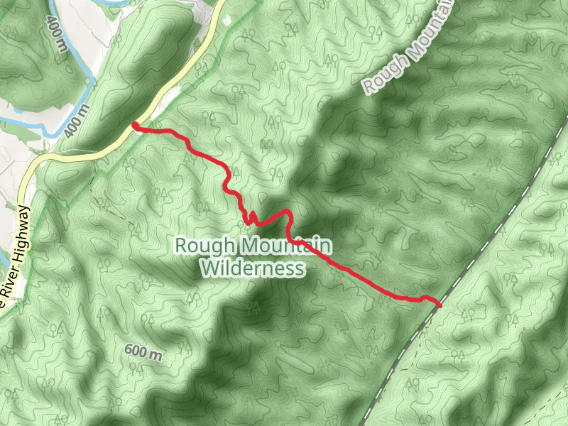
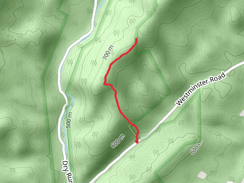
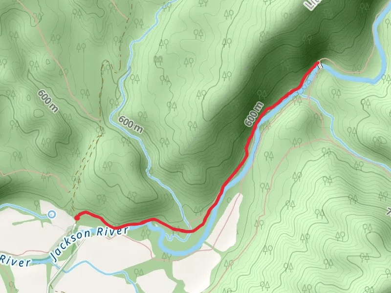
View Hikes on map


What to expect
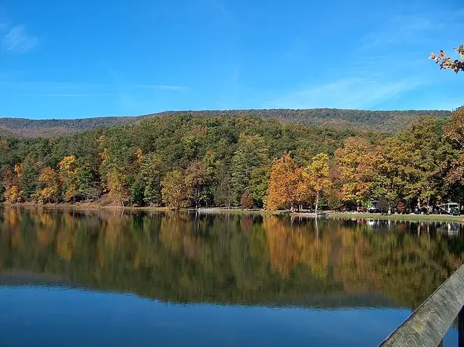
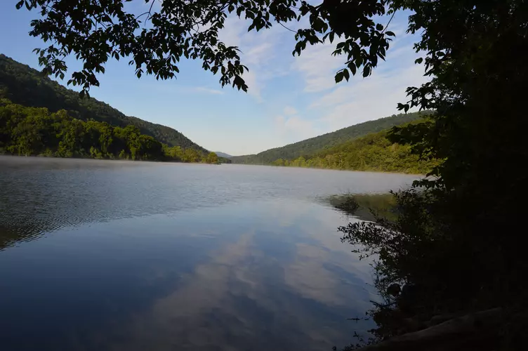
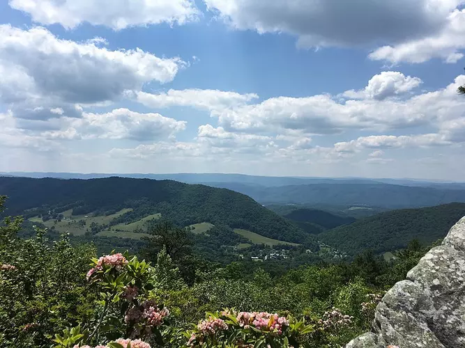
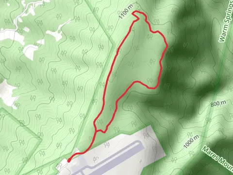
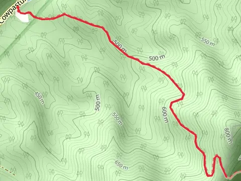
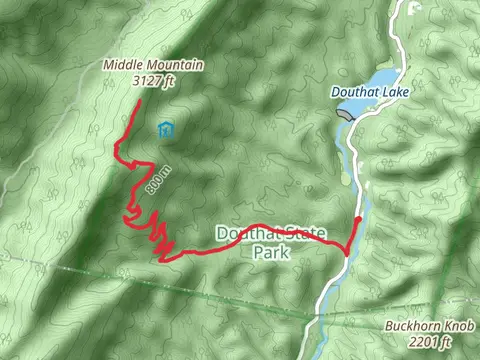
Check out some of the best hiking, walking and backpacking routes in Bath County, Virginia. The Crane Trail is the most popular trail. There are trails of various difficulty levels including easy, medium, difficult, and extra difficult. The trail with the highest elevation climb is the Sandy Gap Trail and the trail with the least amount of climbing is the Mcclintic Point Angler Trail. The longest trail is the Beards Mountain Trail at 25.5 km. For a shorter adventure you can try the Mcclintic Point Angler Trail at 615 m. Get off line access to Water, Healthcare, Campsite, and Peak locations and much more with a Hiiker subscription.

Be prepared for hiking in Virginia with the HiiKER app