The best hikes in Augusta County
Virginia · 103 HiiKER Hikes
View Hikes on map

What to expect
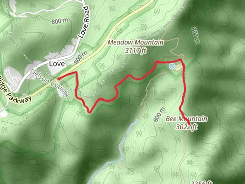
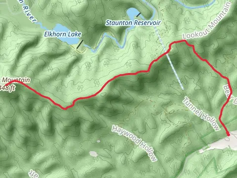
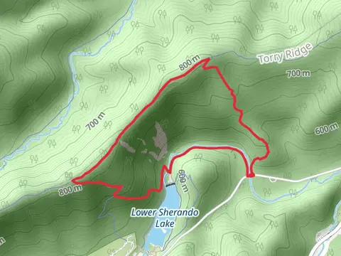
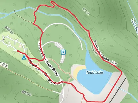
Check out some of the best hiking, walking and backpacking routes in Augusta County, Virginia. The Appalachian Trail Section Hike - Shenandoah National Park is the most popular trail. The trails have 1181 user reviews with great photos and information. There are trails of various difficulty levels including easy, medium, difficult, and extra difficult. The trail with the highest elevation climb is the Elliot Knob Forest Road and North Mountain Loop Trail and the trail with the least amount of climbing is the Rivers Edge Trail and Chimneys Overlook Trail Loop. The longest trail is the Appalachian Trail Section Hike - Shenandoah National Park at 181.0 km. For a shorter adventure you can try the Mountain Farm Trail at 844 m. Get off line access to Viewpoint, Campsite, Water, and Peak locations and much more with a Hiiker subscription.

Be prepared for hiking in Virginia with the HiiKER app