The best hikes in Amherst County
Virginia · 27 HiiKER Hikes
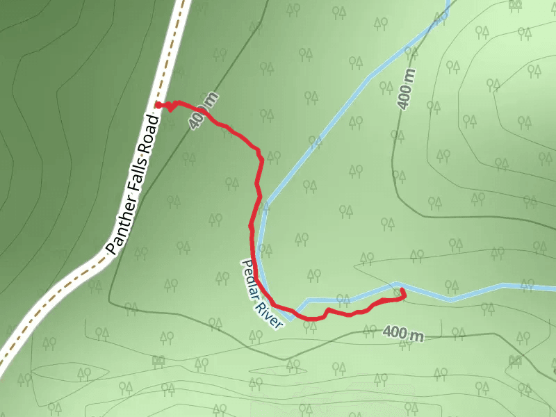
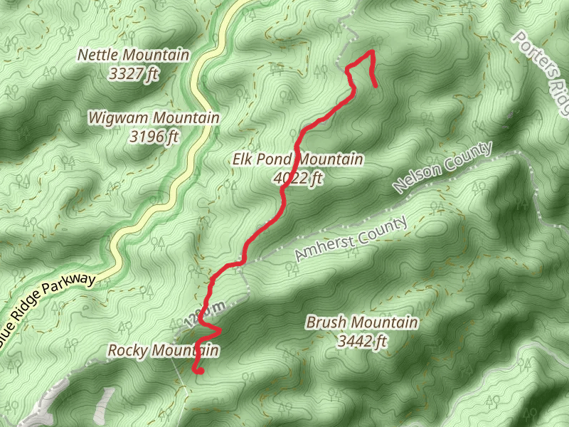
View Hikes on map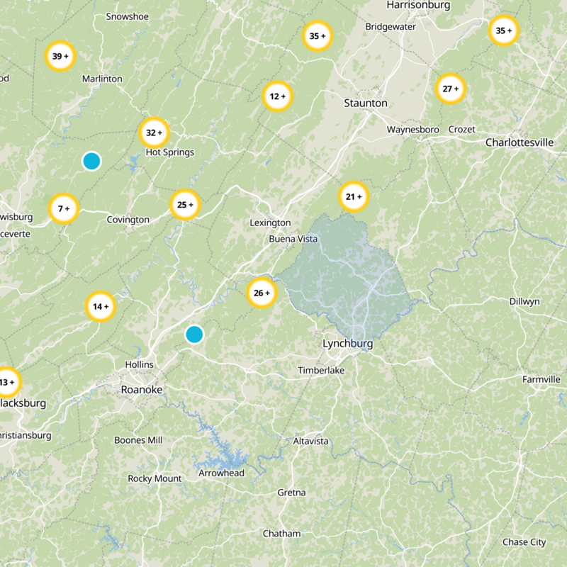
What to expect
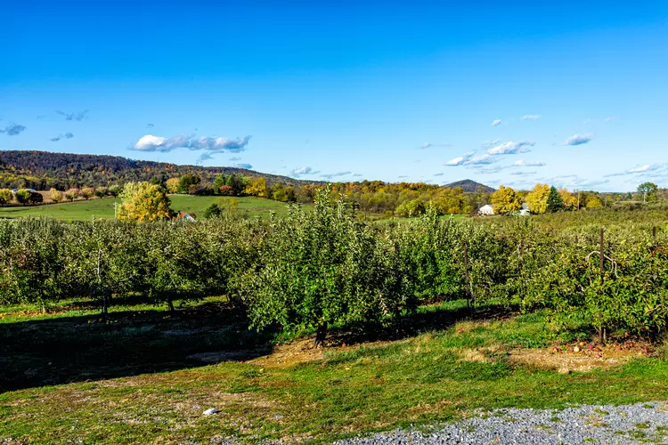
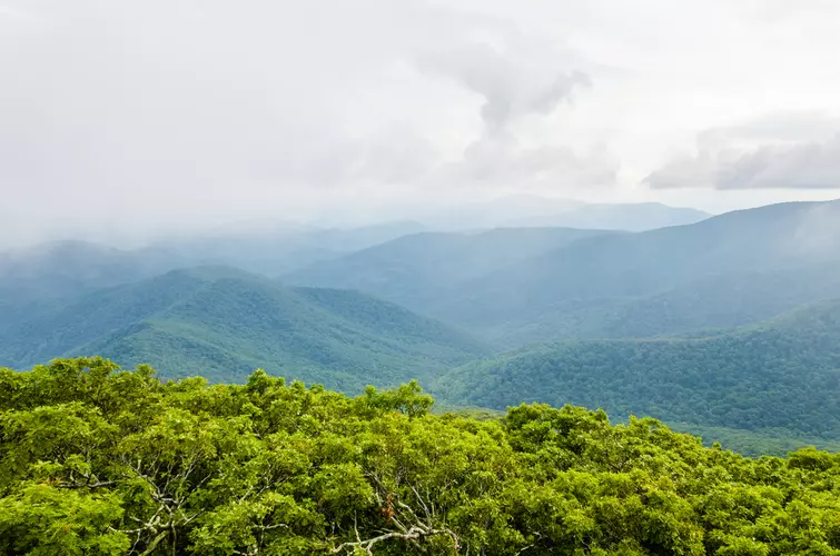
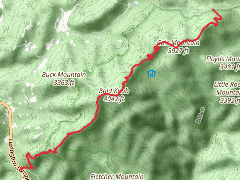
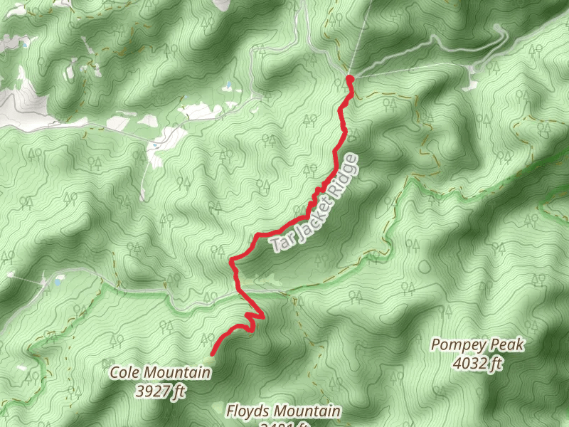
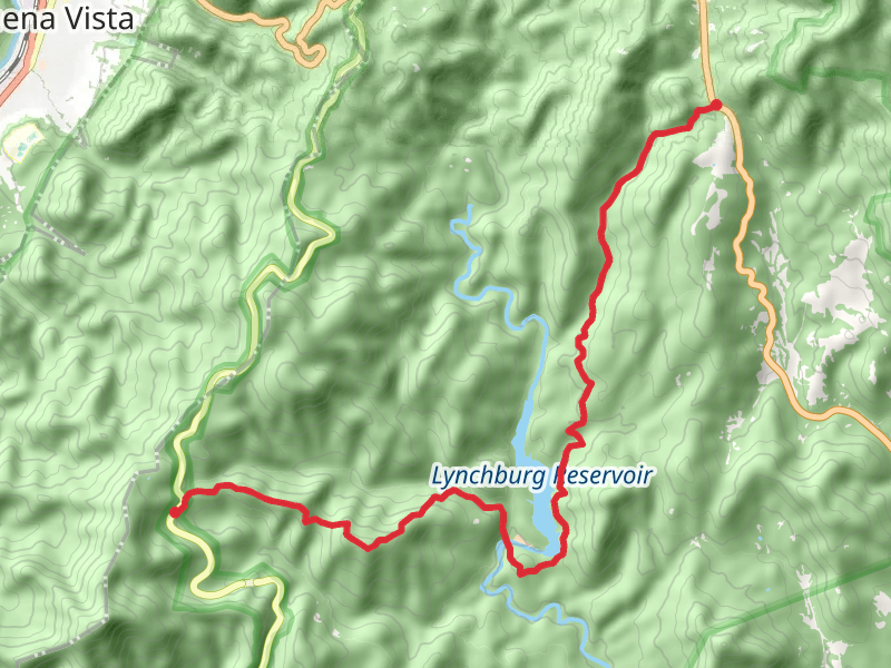
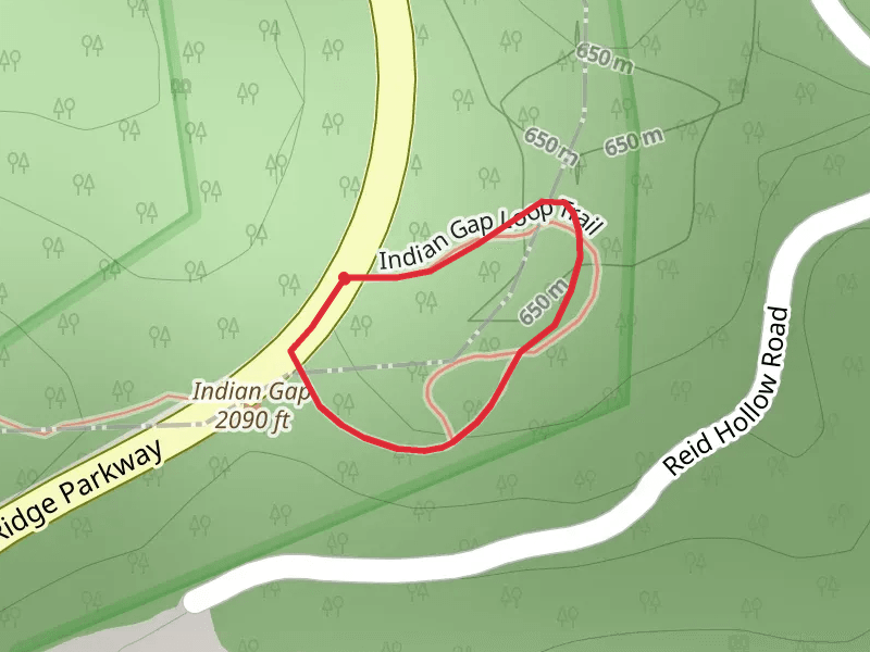
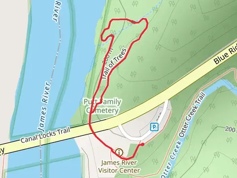
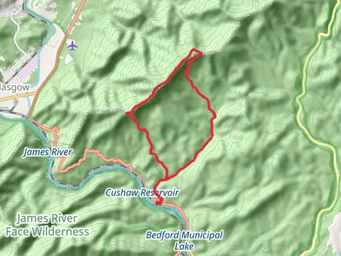
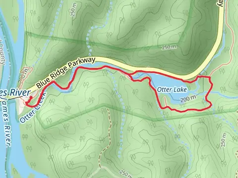
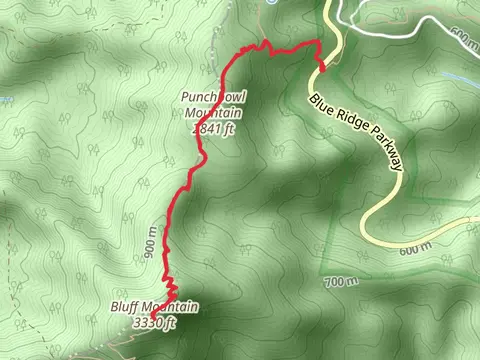
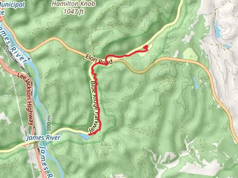
Check out some of the best hiking, walking and backpacking routes in Amherst County, Virginia. The Appalachian Trail Section Hike - James River Face Wilderness is the most popular trail. The trails have 370 user reviews with great photos and information. There are trails of various difficulty levels including medium, difficult, and extra difficult. The trail with the highest elevation climb is the Appalachian Trail Section Hike - James River Face Wilderness and the trail with the least amount of climbing is the Trail of Trees Loop. The longest trail is the Big Rocky Row, Bluff Mountain and Punchbowl Mountain via Appalachian Trail at 34.4 km. For a shorter adventure you can try the Blue Ridge Parkway Loop at 363 m. Get off line access to Water, Shelter, Campsite, and Peak locations and much more with a Hiiker subscription.

Be prepared for hiking in Virginia with the HiiKER app