The best hikes in Albemarle County
Virginia · 68 HiiKER Hikes
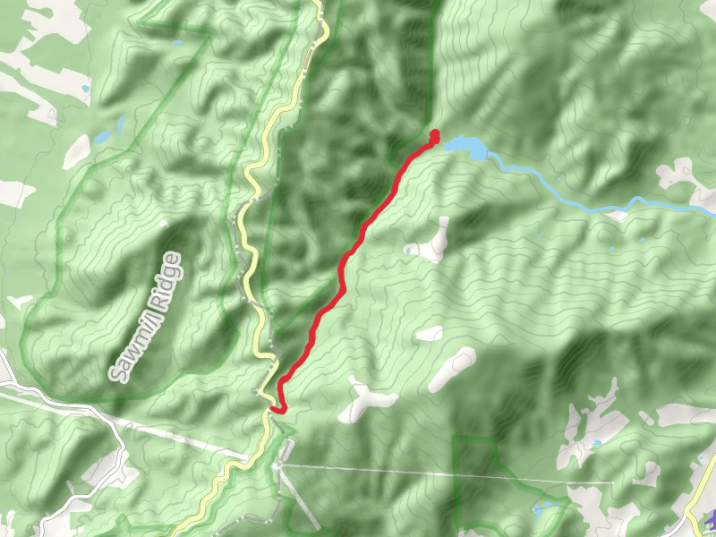
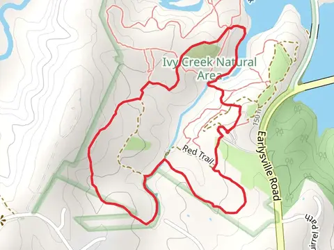
View Hikes on map
What to expect
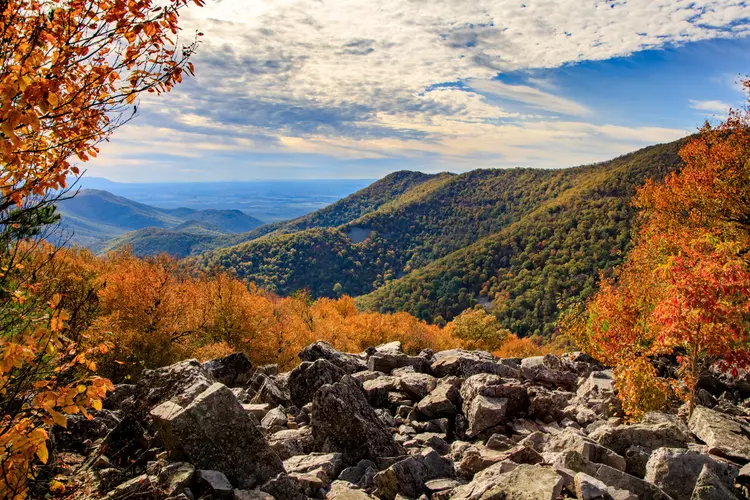
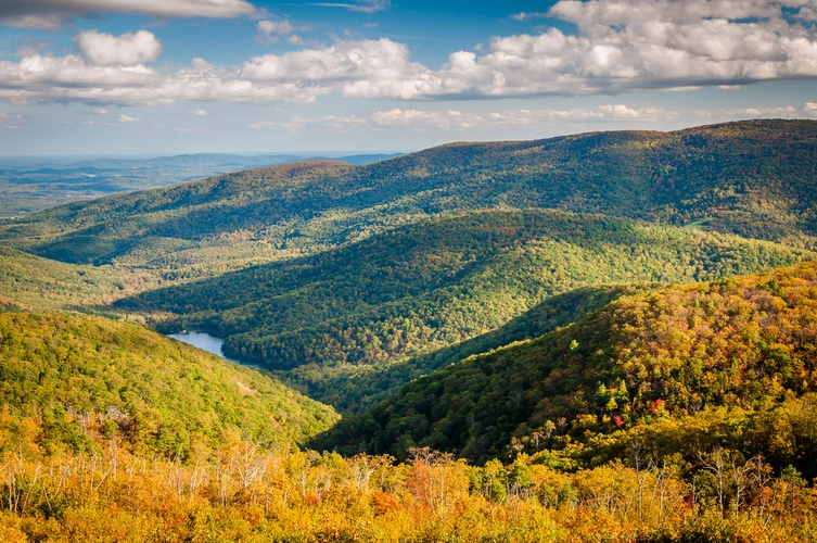
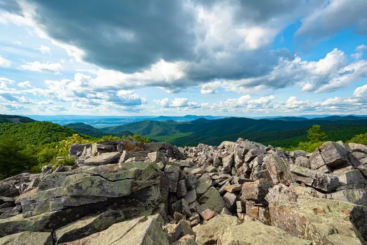
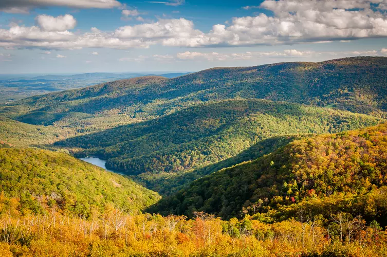
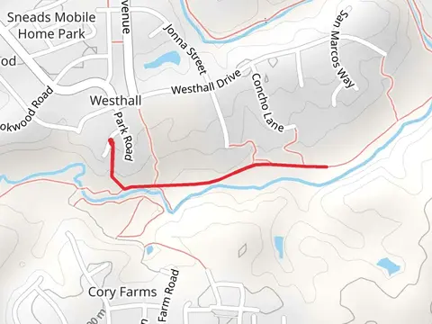
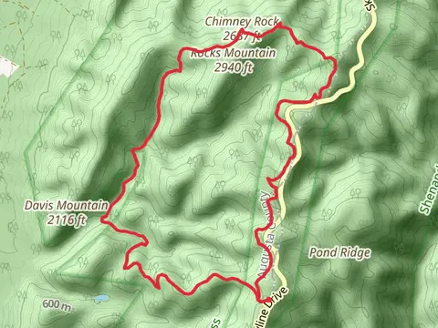
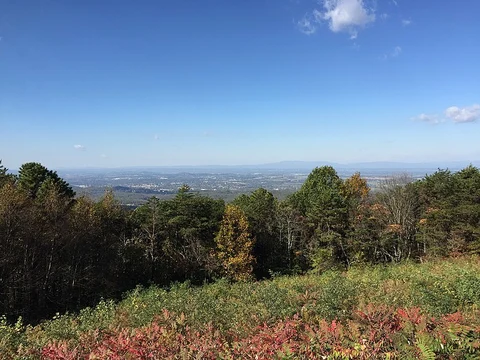
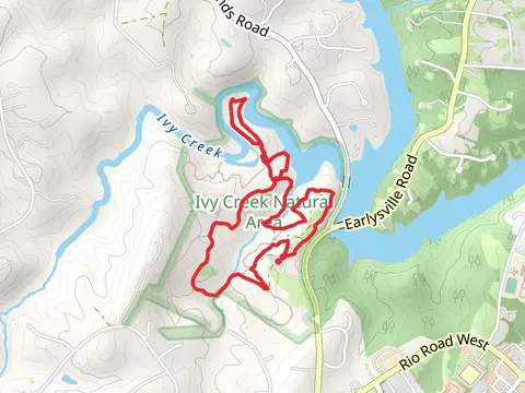
Check out some of the best hiking, walking and backpacking routes in Albemarle County, Virginia. The Blackrock Summit via Trayfoot Mountain and Appalachian Trail is the most popular trail. There are trails of various difficulty levels including easy and medium. The trail with the highest elevation climb is the Appalachian, Austin Mountain, Furnace Mountain, Trayfoot Mountain and Paine Run Loop Trail and the trail with the least amount of climbing is the Old Mills Trail from Darden Towe Park. The longest trail is the Appalachian Trail from Browns Gap at 37.4 km. For a shorter adventure you can try the Chris Greene Lake Road Loop at 998 m. Get off line access to Shelter, Fastfood, Healthcare, and Peak locations and much more with a Hiiker subscription.

Be prepared for hiking in Virginia with the HiiKER app