The best hikes in Yarra Ranges
Victoria · 14 HiiKER Hikes
View Hikes on map

What to expect
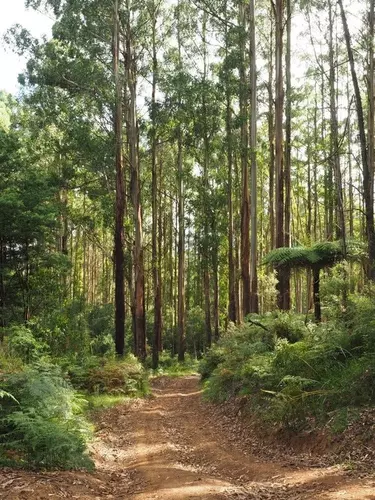
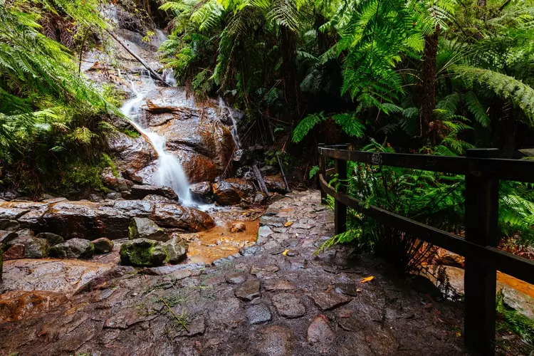
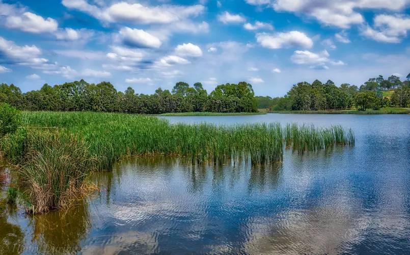
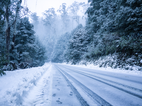
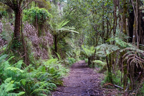
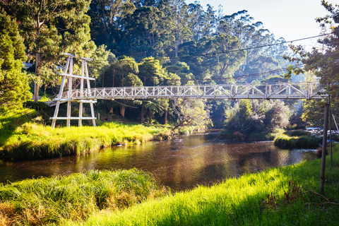
Check out some of the best hiking, walking and backpacking routes in Yarra Ranges, Victoria. The Walk Into History is the most popular trail. There are trails of various difficulty levels including medium, difficult, and extra difficult. The trail with the highest elevation climb is the Mt Donna Buang Trail via Walker Creek Spur and the trail with the least amount of climbing is the Lillydale Lake Walk. The longest trail is the Walk Into History at 51.2 km. For a shorter adventure you can try the Glasgow Track at 2.0 km. Get off line access to Shop, History, Shelter, and Restaurant locations and much more with a Hiiker subscription.

Be prepared for hiking in Victoria with the HiiKER app