The best hikes in Alpine Shire
Victoria · 28 HiiKER Hikes
View Hikes on map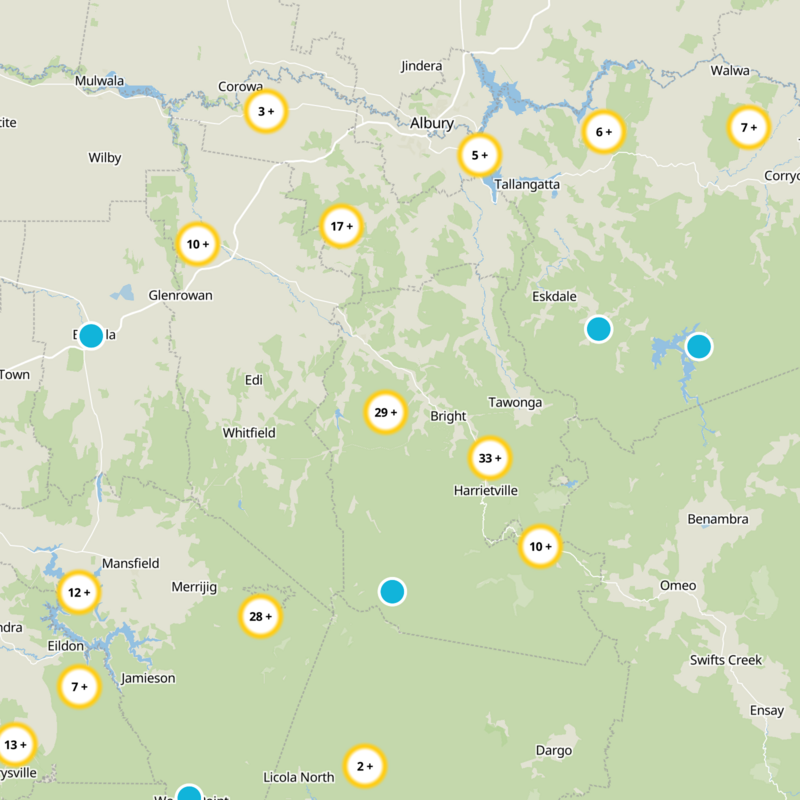
What to expect
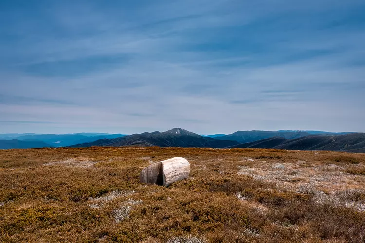
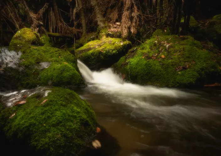
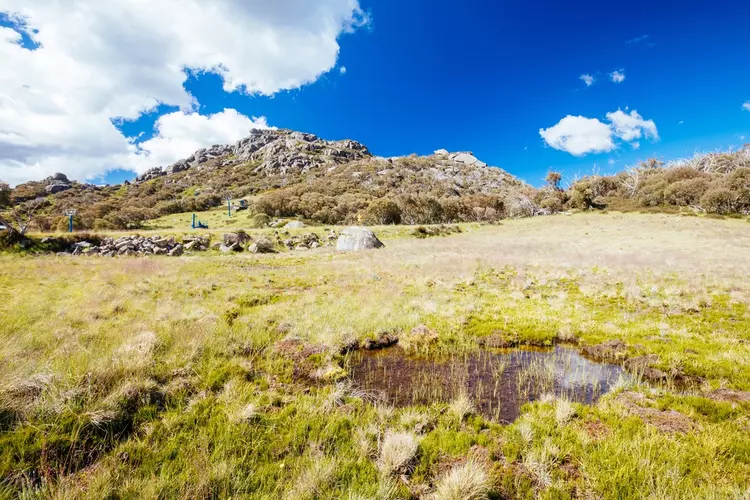
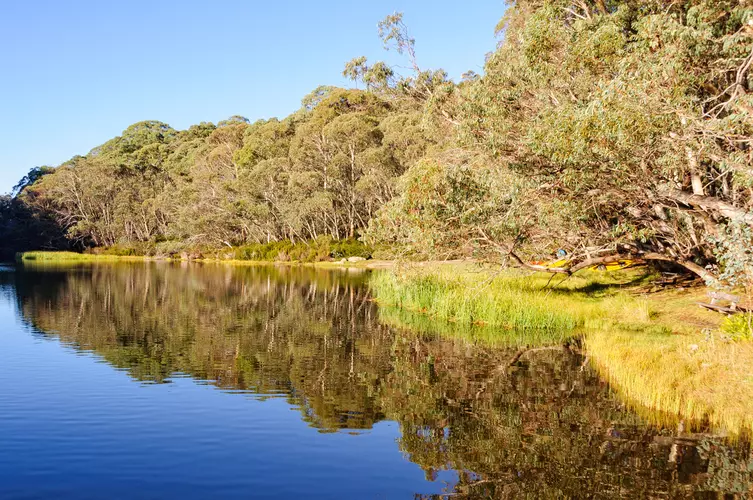
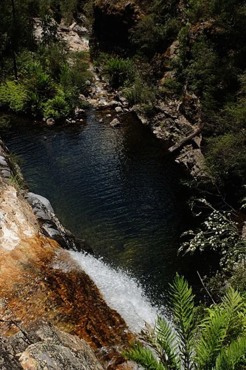
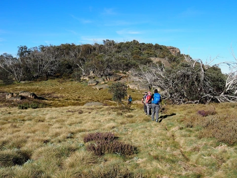
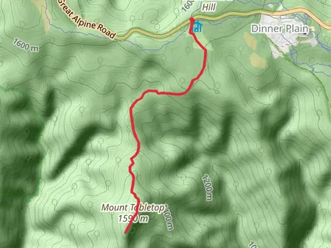
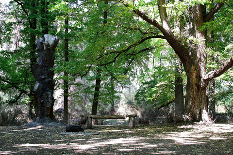
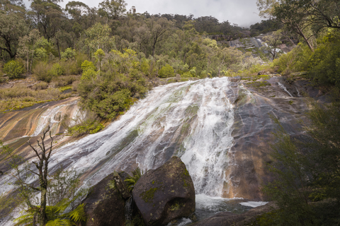
Check out some of the best hiking, walking and backpacking routes in Alpine Shire, Victoria. The Viking Circuit Trail is the most popular trail. There are trails of various difficulty levels including easy, medium, difficult, and extra difficult. The trail with the highest elevation climb is the Mount Bogong Trail - Staircase Spur and the trail with the least amount of climbing is the Eurobin Falls Trail. The longest trail is the Fainter and Spion Kopje Firetrail Circuit Trail at 64.8 km. For a shorter adventure you can try the Horn Trail at 899 m. Get off line access to Campsite, Water, Shelter, and Peak locations and much more with a Hiiker subscription.

Be prepared for hiking in Victoria with the HiiKER app