The best hikes in Sanpete County
Utah · 10 HiiKER Hikes
View Hikes on map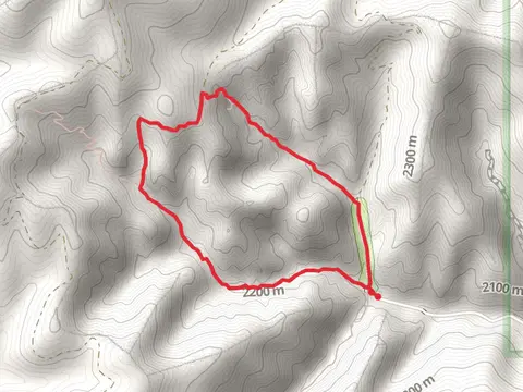


What to expect
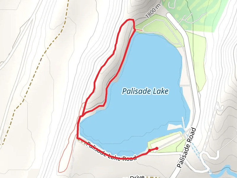
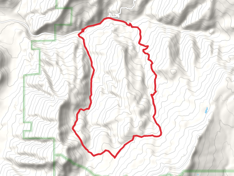
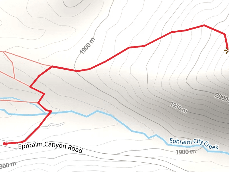
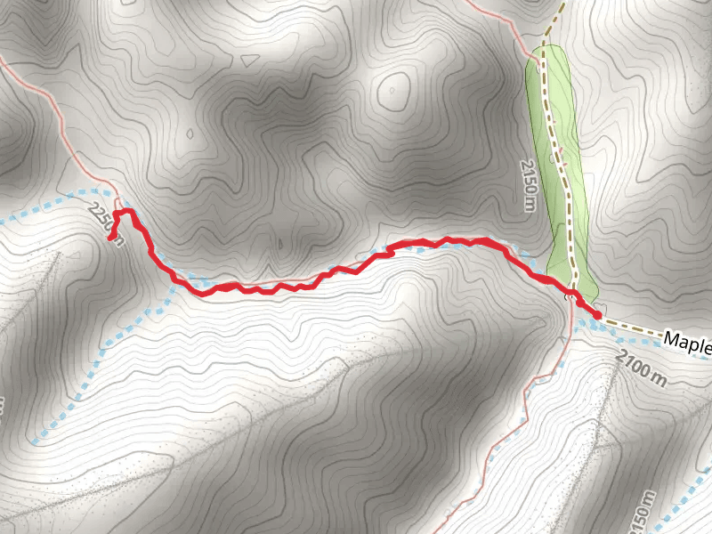
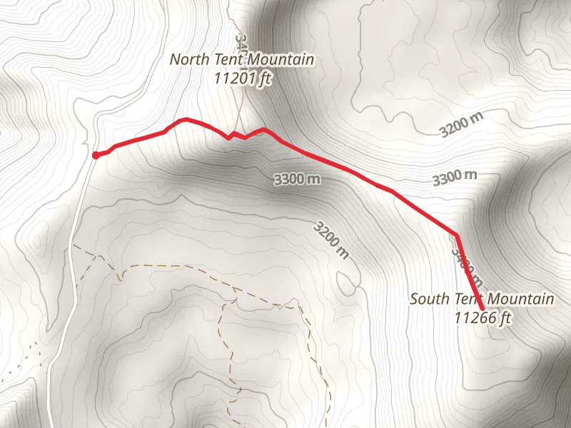
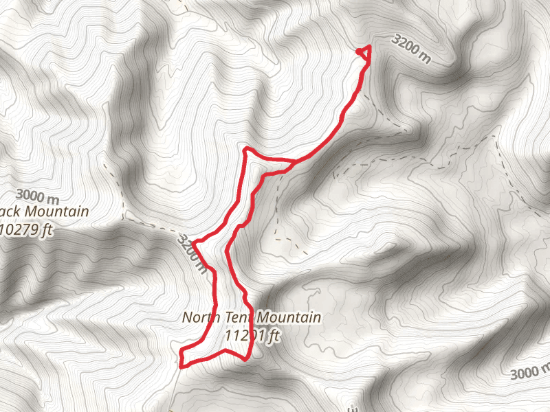
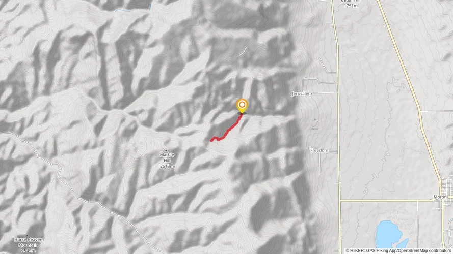
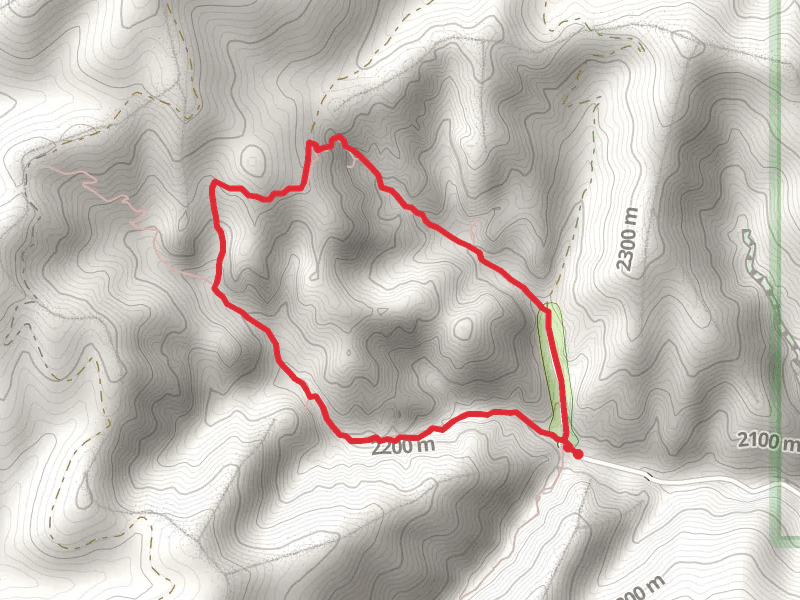
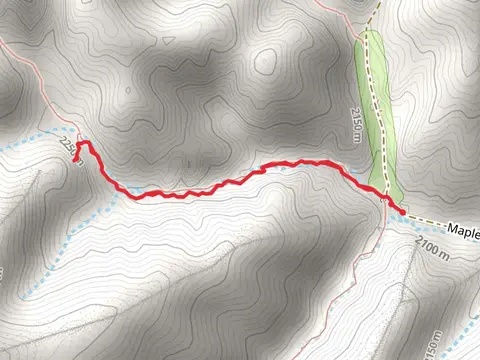
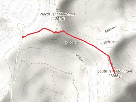
Check out some of the best hiking, walking and backpacking routes in Sanpete County, Utah. The Maple Canyon Natural Arch via Middle Fork Trail is the most popular trail. There are trails of various difficulty levels including easy and medium. The trail with the highest elevation climb is the North Tent Mountain and South Tent Mountain and the trail with the least amount of climbing is the Palisade Lake South Side Loop. The longest trail is the Clear Creek and Beaver Creek Loop at 22.8 km. For a shorter adventure you can try the Milky Falls Walk at 311 m. Get off line access to Town, Shelter, Campsite, and Peak locations and much more with a Hiiker subscription.

Be prepared for hiking in Utah with the HiiKER app