The best hikes in Marion County
Tennessee · 23 HiiKER Hikes
View Hikes on map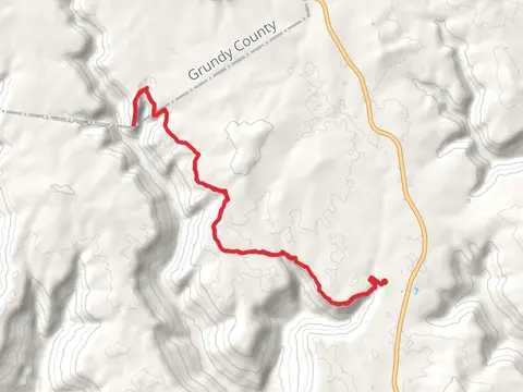
What to expect
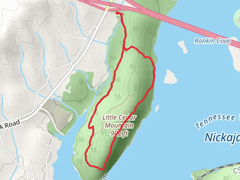
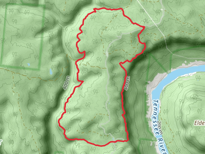
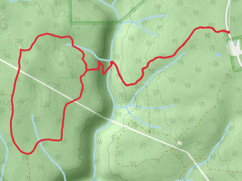
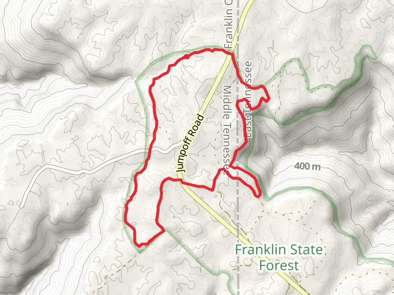
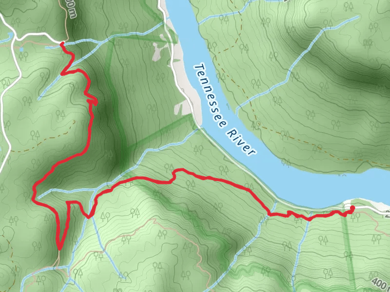
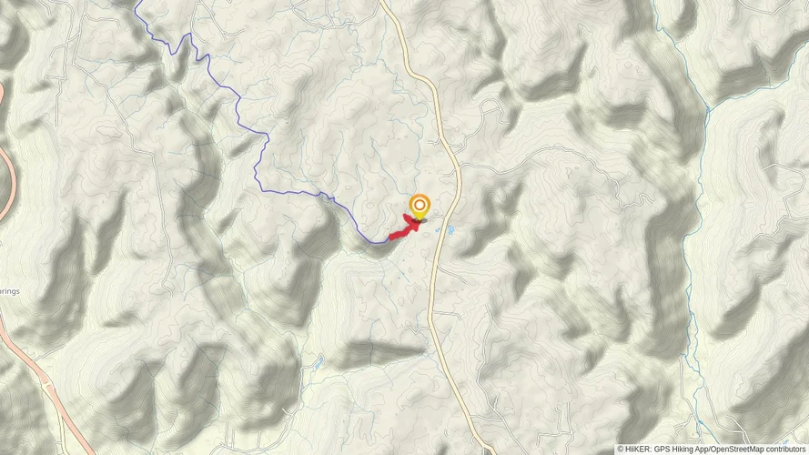
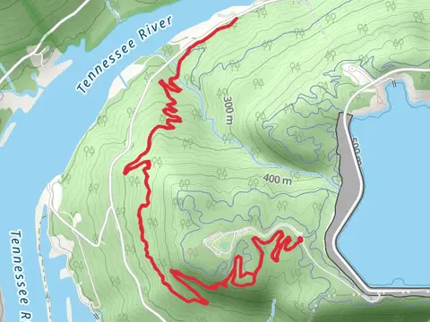
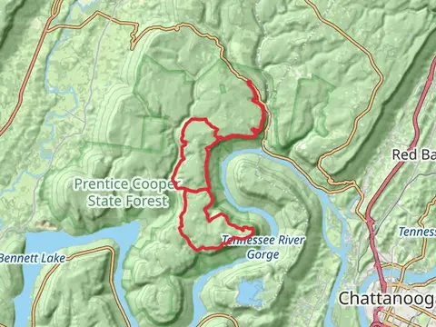
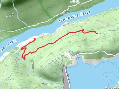
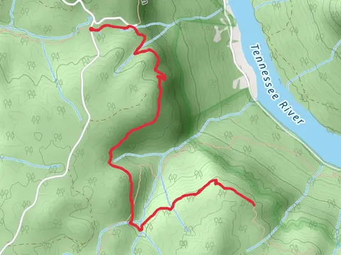
Check out some of the best hiking, walking and backpacking routes in Marion County, Tennessee. The Pot Point Loop is the most popular trail. The trails have 728 user reviews with great photos and information. There are trails of various difficulty levels including medium, difficult, and extra difficult. The trail with the highest elevation climb is the Inman, Moore Ridge Road and Limeklln Loop and the trail with the least amount of climbing is the Tennessee Welcome Rest Area Loop. The longest trail is the Cumberland and Pot Point Loop Trail at 46.0 km. For a shorter adventure you can try the Tennessee Welcome Rest Area Loop at 345 m. Get off line access to Healthcare, Shelter, Water, and Campsite locations and much more with a Hiiker subscription.

Be prepared for hiking in Tennessee with the HiiKER app