Download
3D Flyover
Add to list
More
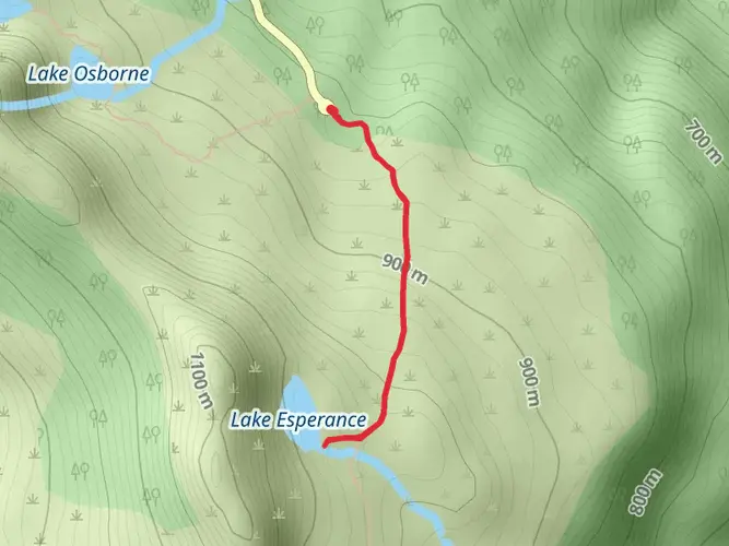
19.1 km
~4 hrs 32 min
423 m
Multi-Day
“Embark on the Labillardiere Peninsula Track for a captivating blend of Tasmanian wilderness, wildlife, and history.”
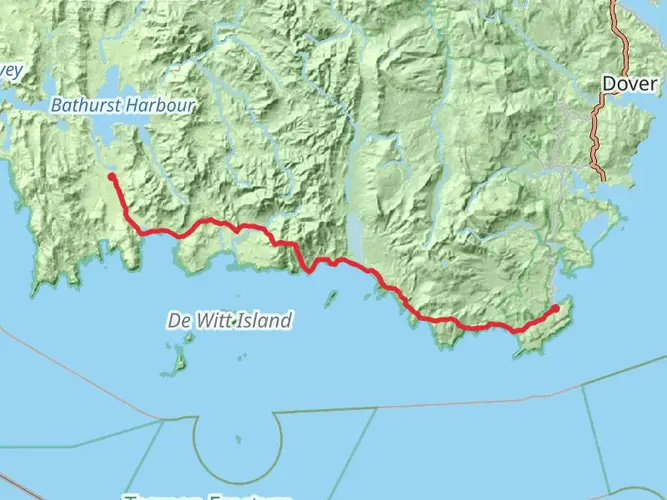
The Labillardiere Peninsula Track, nestled near Kingborough in Tasmania, offers hikers a chance to explore the diverse landscapes of the Bruny Island Neck Game Reserve. This loop trail spans approximately 19 kilometers (about 11.8 miles) and features an elevation gain of around 400 meters (roughly 1312 feet), presenting a medium difficulty level that is suitable for hikers with some experience.
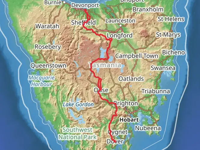
Getting to the Trailhead To reach the starting point of the Labillardiere Peninsula Track, you can drive or take public transport to the Bruny Island ferry terminal in Kettering, just south of Hobart. After a short ferry ride to Bruny Island, follow the main road and signs to Adventure Bay. From there, continue on to the well-marked trailhead located near the Jetty Beach camping area.
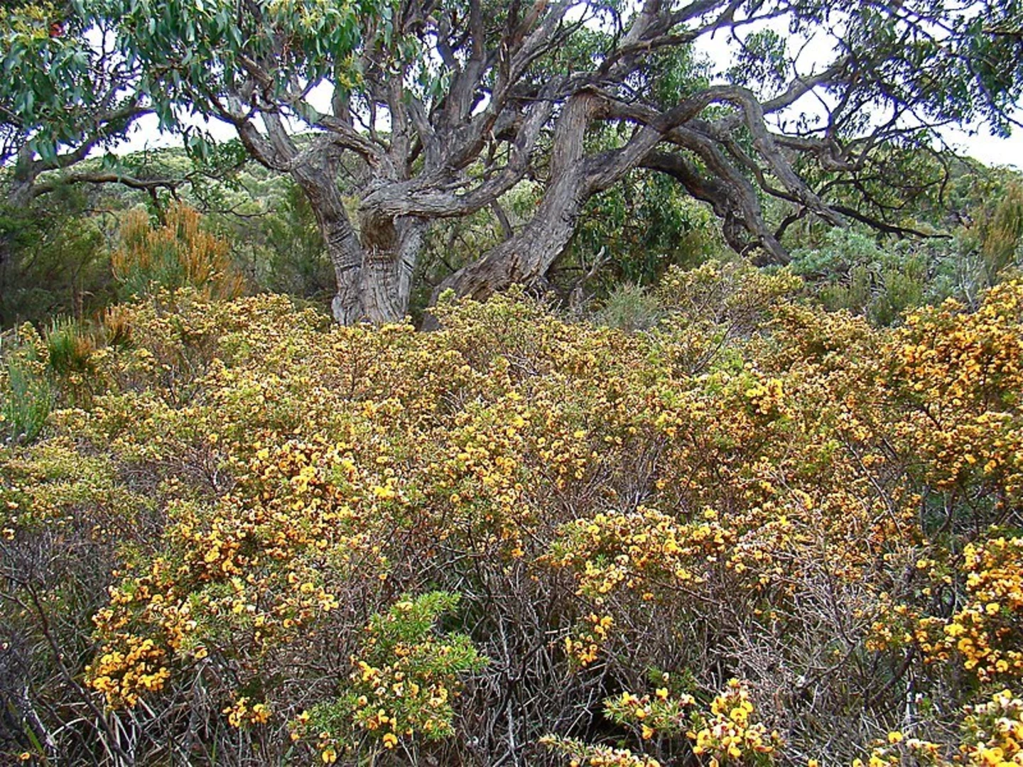
Navigating the Trail As you embark on the trail, you'll be greeted by a mix of terrains, including sandy beaches, rocky coastlines, and dense eucalypt forests. The path is well-defined, but it's advisable to use HiiKER for up-to-date navigation and to track your progress along the loop.
Natural Highlights and Wildlife The Labillardiere Peninsula is a haven for wildlife enthusiasts. Keep an eye out for the diverse birdlife, including the endangered forty-spotted pardalote and the swift parrot. The trail also offers opportunities to spot echidnas, wallabies, and possibly even a Tasmanian devil if you're lucky.
Historical Significance The peninsula is named after the French botanist Jacques Labillardière, who was part of the d'Entrecasteaux expedition in the 1790s. The area is rich in history, with several points along the trail offering insights into both Indigenous heritage and European exploration.
Coastal Views and Forest Walks As you progress along the trail, you'll be treated to stunning coastal views, particularly from the southern sections where the rugged cliffs meet the Southern Ocean. The trail also winds through sections of forest where you can appreciate Tasmania's unique flora, including a variety of orchids and the towering white gums.
Beaches and Bays Approximately halfway through the hike, you'll find yourself at the beautiful Butlers Beach. This is an ideal spot to rest and perhaps enjoy a swim if the weather permits. Further along, the trail skirts around the serene Luggaboine Lagoon before heading back into the forest.
Preparation and Safety Before setting out, ensure you have adequate water, as sources along the trail are limited and not always potable. Weather on the peninsula can change rapidly, so pack layers and be prepared for varying conditions. It's also wise to inform someone of your hiking plans and expected return time.
Conclusion The Labillardiere Peninsula Track is a microcosm of Tasmania's wild beauty, offering a blend of coastal scenery, wildlife encounters, and historical intrigue. With careful preparation and a spirit of adventure, hikers will find this trail to be a rewarding experience that captures the essence of Tasmania's natural heritage.

What to expect?
Activity types
Comments and Reviews
User comments, reviews and discussions about the Labillardiere Peninsula Track, Tasmania.
average rating out of 5
0 rating(s)