The best hikes in Westlich Raron
Switzerland · 4 HiiKER Hikes
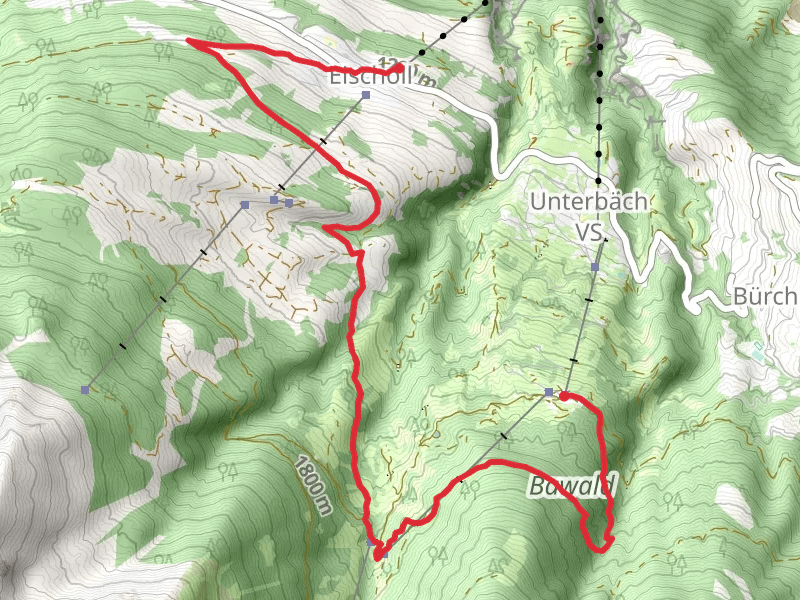
View Hikes on map


What to expect
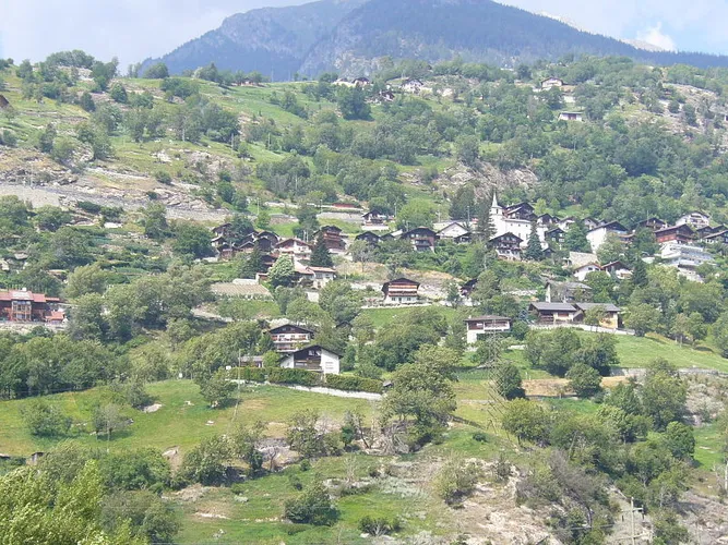
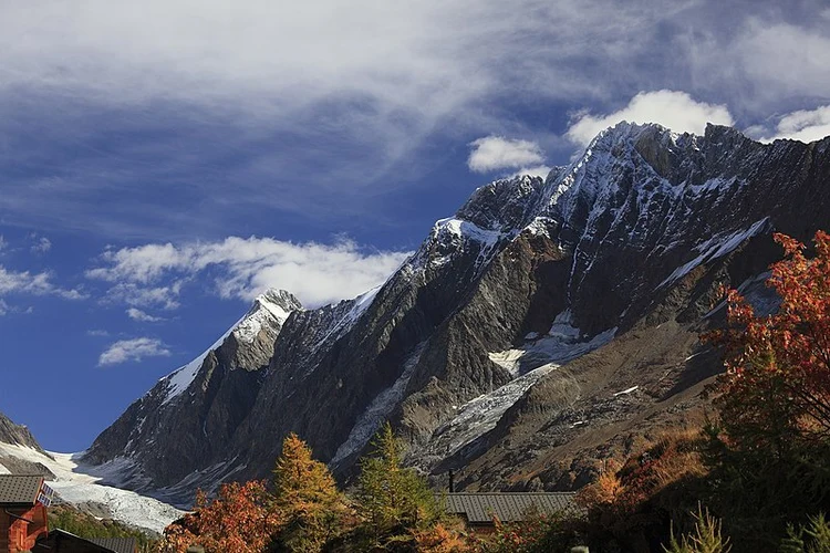
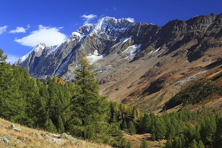
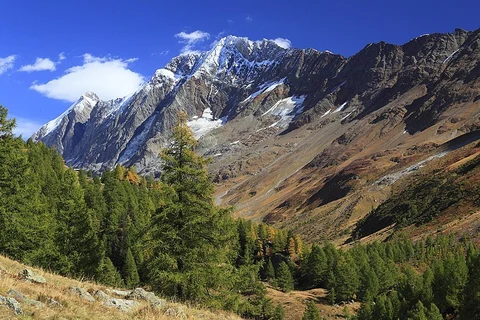
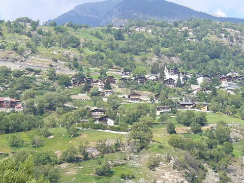
Check out some of the best hiking, walking and backpacking routes in Westlich Raron, Switzerland. The Steg-Hohtenn to Brig Trail is the most popular trail. The trail with the highest elevation climb is the Lötschental Valley Loop Trail and the trail with the least amount of climbing is the Steg-Hohtenn to Brig Trail. The longest trail is the Steg-Hohtenn to Brig Trail at 32.6 km. For a shorter adventure you can try the Brandalp - Breite Stäg - Eischoll Trail at 9.9 km. Get off line access to Bus Stop, Shop, Water, and Restaurant locations and much more with a Hiiker subscription.

Be prepared for hiking in Switzerland with the HiiKER app