Download
3D Flyover
Add to list
More
342.5 km
~17 days
19082 m
Multi-Day
“Embark on the Alpine Pass Route, a Swiss Alps odyssey blending cultural richness with awe-inspiring natural splendor.”
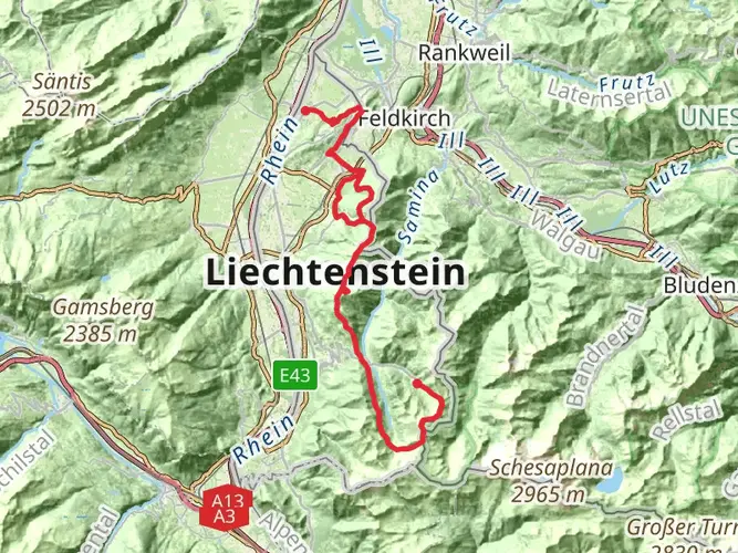
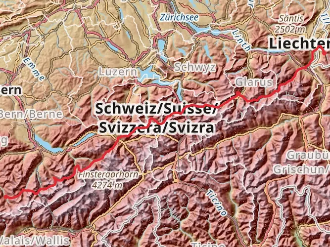
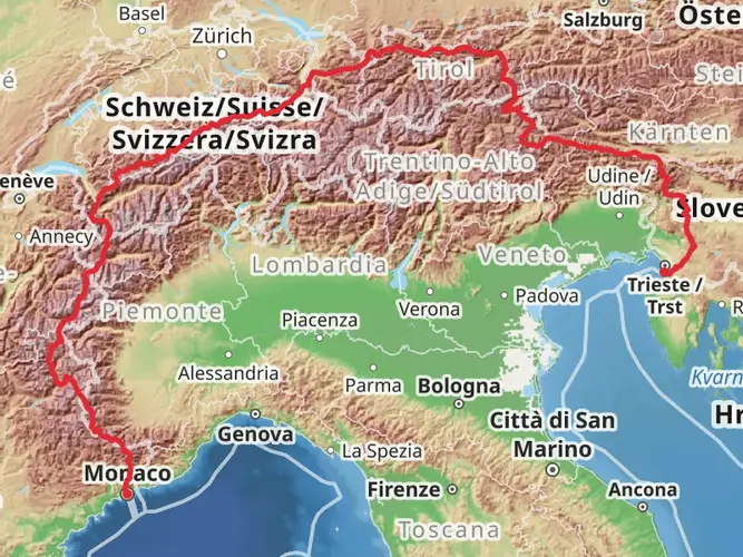
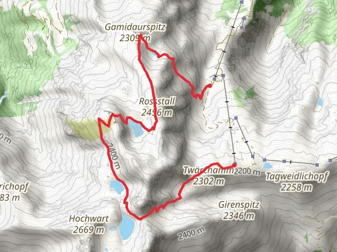
Spanning approximately 343 kilometers (213 miles) and with an elevation gain of around 19,000 meters (62,336 feet), the Alpine Pass Route is a challenging yet rewarding trek through the heart of the Swiss Alps. This point-to-point trail begins near Wahlkreis Sarganserland, a region known for its picturesque landscapes and traditional Swiss charm.
Getting to the Trailhead
To reach the starting point of the Alpine Pass Route, hikers can utilize Switzerland's efficient public transportation system. From Zurich, one can take a train to Sargans, a town close to the trailhead. From Sargans, local buses or taxis can transport hikers to the exact starting location. For those driving, parking is available in the area, but it's advisable to check for any parking restrictions or fees.
Navigating the Trail
The route is well-marked, but due to its length and complexity, it's recommended to use a navigation tool like HiiKER to keep track of your progress and ensure you're following the correct path. The trail meanders through diverse terrains, including steep ascents, rocky paths, and lush meadows, offering a comprehensive Alpine hiking experience.
Landmarks and Natural Beauty
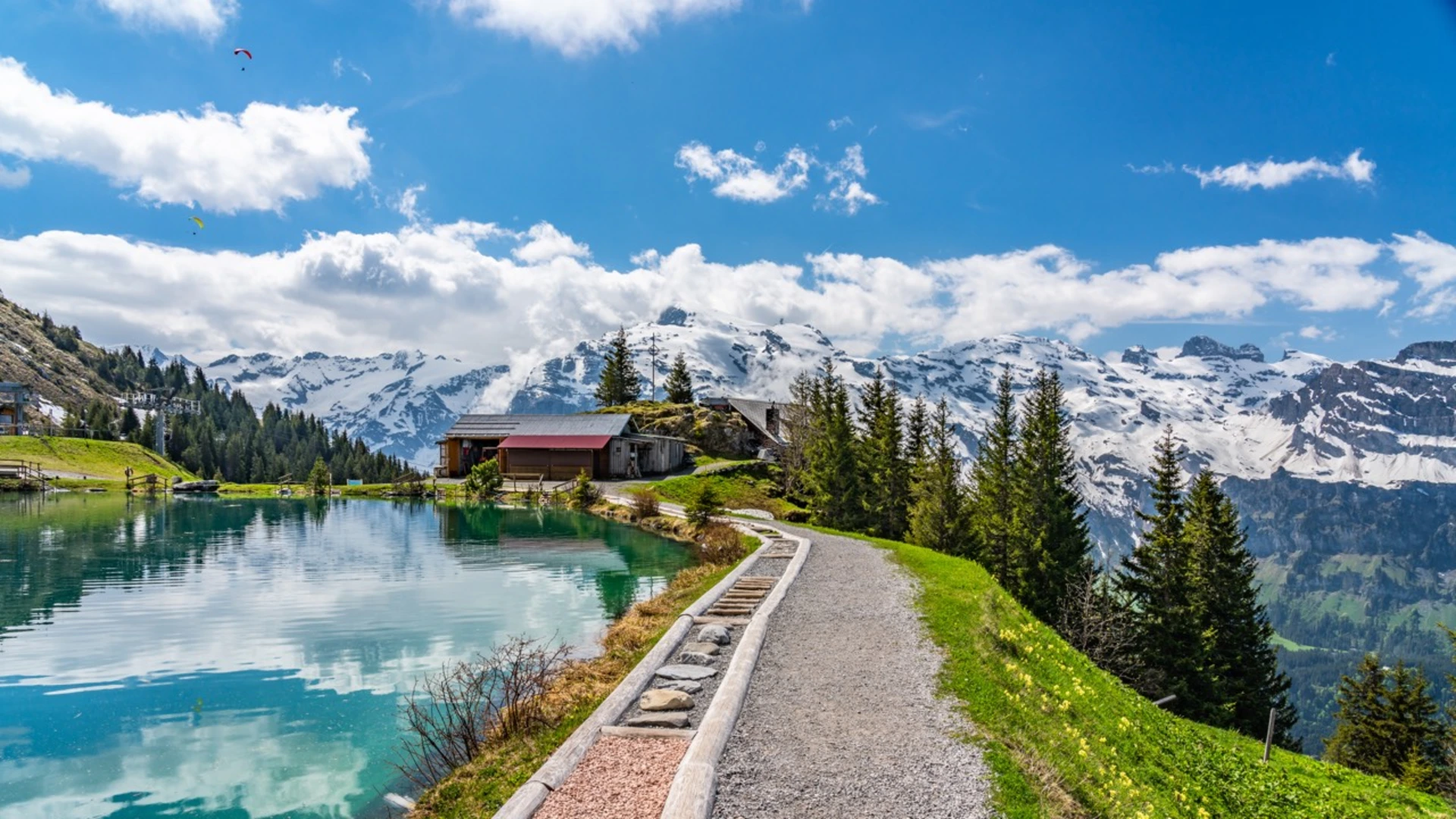
As you embark on this epic journey, you'll traverse several mountain passes, each presenting its own unique vista. The trail offers breathtaking views of iconic peaks such as the Eiger, Mönch, and Jungfrau. Hikers will encounter pristine alpine lakes, such as Oeschinensee, known for its striking turquoise waters framed by steep cliffs and waterfalls.
Flora and Fauna
The Alpine Pass Route is a haven for wildlife enthusiasts. The diverse habitats along the trail support a variety of flora and fauna. Hikers may spot marmots, chamois, and if lucky, the elusive ibex. The trail also winds through areas rich in alpine flowers, including edelweiss, alpine roses, and various species of orchids.
Cultural and Historical Significance
The region is steeped in history, with the trail passing through quaint villages and towns that have preserved their traditional Swiss culture. Hikers will have the opportunity to learn about the local customs and history, particularly the role of the Alps in Switzerland's defense and cultural identity.
Preparation and Planning
Given the trail's difficulty rating and the demanding nature of the terrain, it's essential for hikers to be well-prepared. This includes having the appropriate gear for varying weather conditions, as well as sufficient food and water supplies. It's also advisable to plan for overnight stays in mountain huts or local accommodations, as the hike will take multiple days to complete.
Safety Considerations
The Alpine Pass Route is at a high altitude, and weather conditions can change rapidly. Hikers should be prepared for the possibility of snow, even in summer, and should always check the weather forecast before setting out. It's also important to be aware of the signs of altitude sickness and to ascend gradually to allow for acclimatization.
Conclusion
The Alpine Pass Route is a journey that offers an immersive experience into the natural beauty and cultural richness of the Swiss Alps. With careful planning and respect for the mountain environment, hikers can embark on an unforgettable adventure across some of Switzerland's most stunning landscapes.

Comments and Reviews
User comments, reviews and discussions about the Alpine Pass Route, Switzerland.
4.67
average rating out of 5
6 rating(s)