The best hikes in Schwyz
Switzerland · 74 HiiKER Hikes
View Hikes on map
What to expect
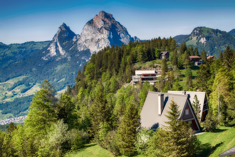
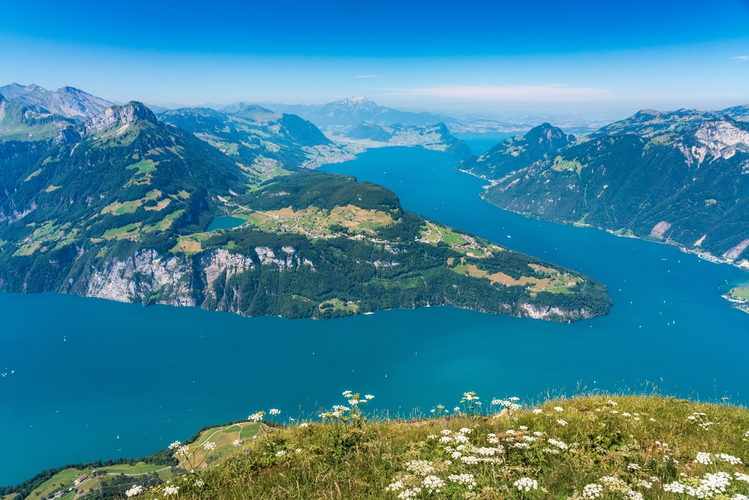
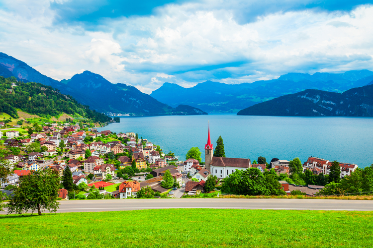
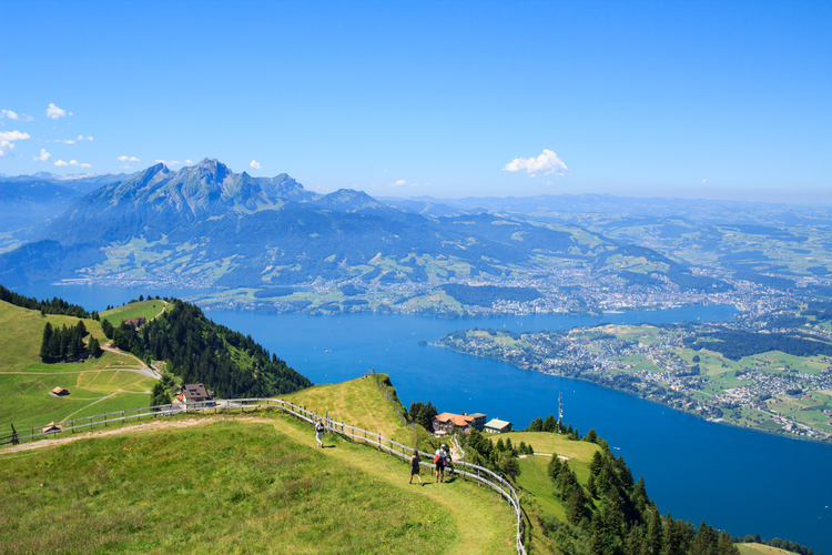
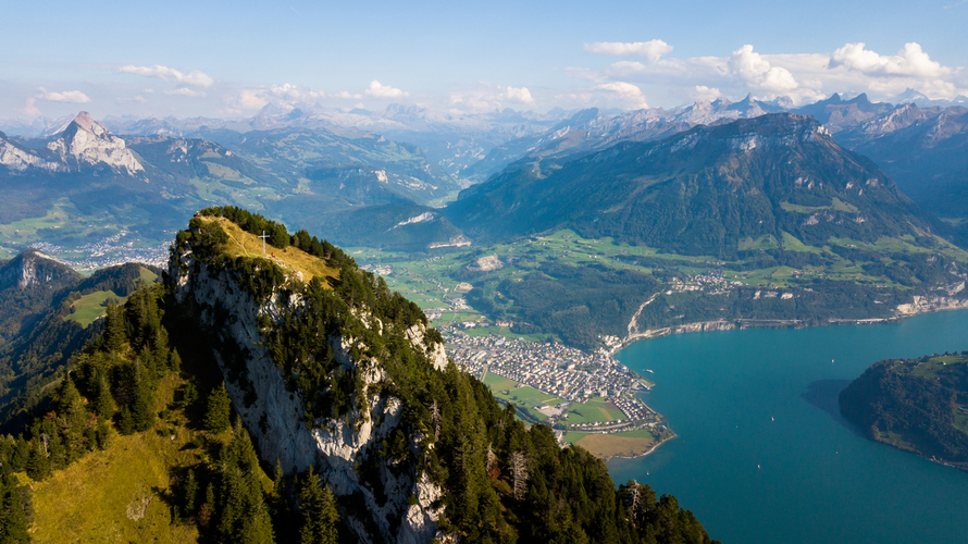
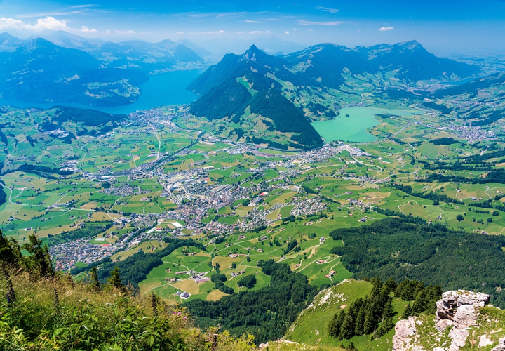
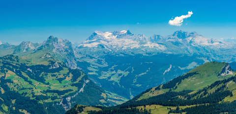
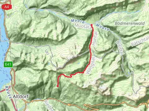
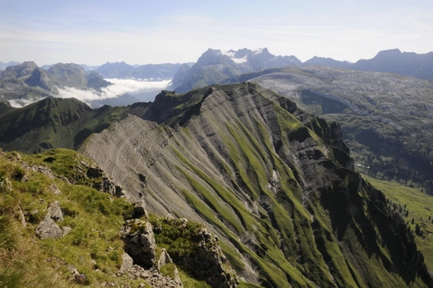
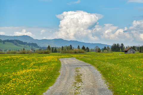
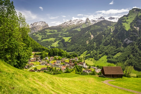
Check out some of the best hiking, walking and backpacking routes in Schwyz, Switzerland. The Talstation Sesselbahn Klingenstock to Stoos is the most popular trail. There are trails of various difficulty levels including easy and medium. The trail with the highest elevation climb is the Muotathal - Pfannenstock and the trail with the least amount of climbing is the Grosser Kulturweg Ingenbohl - Brunnen. The longest trail is the Pragelpass-Weg at 47.5 km. For a shorter adventure you can try the Wundernasen Trail at 767 m. Get off line access to Peak, Bus Stop, Water, and Restaurant locations and much more with a Hiiker subscription.

Be prepared for hiking in Switzerland with the HiiKER app