Download
3D Flyover
Add to list
More
679.8 km
~36 days
44784 m
Multi-Day
“Embark on the Alpenpässe-Weg for a historic and scenic Swiss Alps odyssey, demanding preparation and respect for nature.”
Embarking on the Alpenpässe-Weg is a journey through the heart of the Swiss Alps, traversing a distance of approximately 604 kilometers (375 miles) with an elevation gain of around 26,100 meters (85,630 feet). This point-to-point trail is a challenging adventure, suitable for experienced hikers who are well-prepared for long-distance trekking in mountainous terrain.
Getting to the Trailhead
The trailhead is located near Plessur, Switzerland, a region accessible by both public transport and car. For those opting for public transportation, the nearest major city with a train station is Chur. From Chur, you can take a local bus or a short taxi ride to reach the starting point of the Alpenpässe-Weg. If driving, parking is available in the area, but it's advisable to check for any parking restrictions or permits required.
Navigating the Trail
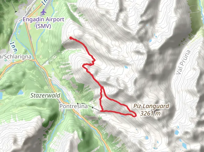
Hikers can rely on HiiKER to navigate the trail, ensuring they stay on the correct path and are aware of upcoming waypoints. The app provides detailed maps and trail information, which is particularly useful given the trail's length and complexity.
Trail Highlights and Landmarks
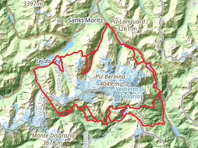
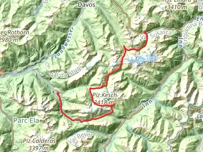
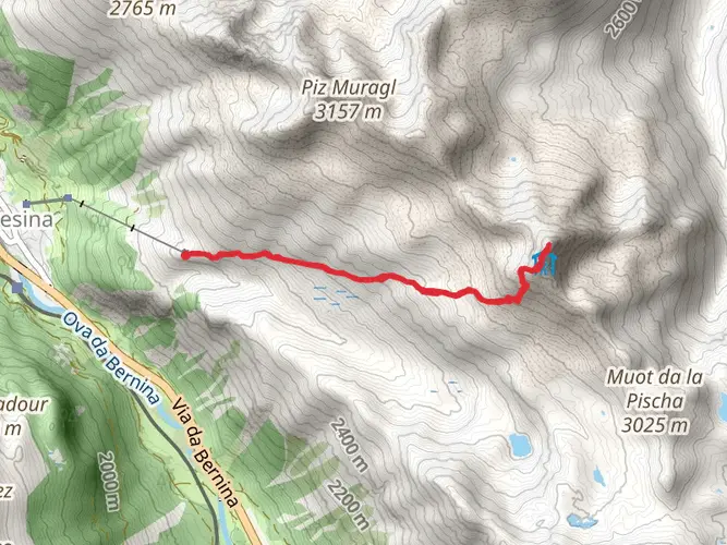
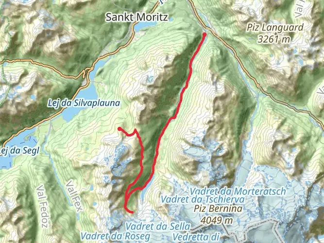
As you set out from the vicinity of Plessur, the trail immediately immerses you in the stunning Alpine landscape. The route is dotted with numerous high mountain passes, each offering breathtaking views and a sense of accomplishment as you conquer them one by one.
One of the early highlights is the ascent to the famous Weisshorn, which stands at 2,653 meters (8,704 feet). This area is not only a feast for the eyes but also rich in Alpine flora and fauna. Keep an eye out for marmots, chamois, and eagles that call these mountains home.
Historical Significance
The Alpenpässe-Weg is steeped in history, with many of the passes having been used for centuries as trade routes between regions. As you hike, you'll encounter historical landmarks such as old trading posts, chapels, and even remnants of fortifications. These sites offer a glimpse into the past and the importance of these routes in the development of the region.
Wildlife and Nature
The trail takes you through diverse landscapes, from lush meadows to rocky ridges. The flora changes with the altitude, and you'll see a variety of plant life adapted to the harsh mountain conditions. Wildlife is abundant, and with a bit of luck, you may spot ibex, red deer, and various bird species, including the majestic golden eagle.
Preparation and Safety
Given the trail's difficulty, it's crucial to be well-prepared. This means having the right gear, including sturdy hiking boots, weather-appropriate clothing, and navigation tools like HiiKER. It's also important to be physically prepared for the demands of the trail, which includes steep ascents and descents.
Weather in the Alps can change rapidly, so always check the forecast and be prepared for all conditions. Make sure to carry enough food and water, as well as a first-aid kit. Given the trail's length, planning for accommodation in advance is recommended, whether you prefer to stay in mountain huts or camp under the stars.
Conclusion
The Alpenpässe-Weg is a trail that promises adventure, breathtaking scenery, and a deep connection with the history and nature of the Swiss Alps. With careful planning and respect for the mountain environment, hikers will find this trail to be a rewarding and unforgettable experience.

Surfaces
Unknown
Ground
Gravel
Asphalt
Dirt
Unpaved
Grass
Concrete
Paved
Cobblestone
Wood
Comments and Reviews
User comments, reviews and discussions about the Alpenpässe-Weg, Switzerland.
4.8
average rating out of 5
5 rating(s)