The best hikes in Interlaken-Oberhasli administrative district
Switzerland · 128 HiiKER Hikes
View Hikes on map
What to expect
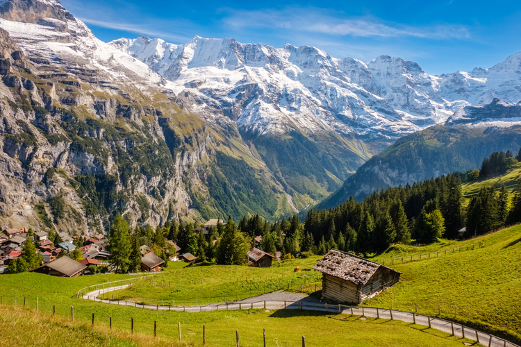
Check out some of the best hiking, walking and backpacking routes in Interlaken-Oberhasli administrative district, Switzerland. The Gimmelwald to Tanzbödeli is the most popular trail. The trails have 3 user reviews with great photos and information. There are trails of various difficulty levels including easy, medium, difficult, and extra difficult. The trail with the highest elevation climb is the Mürren - Schilthorn Loop and the trail with the least amount of climbing is the Unterseener-Uferweg. The longest trail is the Veloweg- Brünig – Amsoldingen at 58.3 km. For a shorter adventure you can try the Wengen - Leiterhorn - Spätenalp - Burglauenen No 44 at 2.1 km. Get off line access to Peak, Restaurant, Bus Stop, and Water locations and much more with a Hiiker subscription.

Be prepared for hiking in Switzerland with the HiiKER app