The best hikes in Glarus Nord
Switzerland · 5 HiiKER Hikes
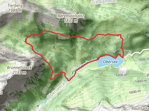
View Hikes on map

What to expect
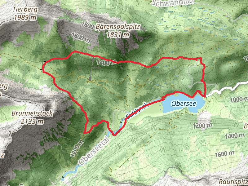
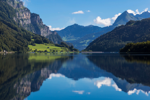
Check out some of the best hiking, walking and backpacking routes in Glarus Nord, Switzerland. The Niederurnen - Hirzli Loop Trail is the most popular trail. The trail with the highest elevation climb is the Glarus Nord to Lake Obersee and Lake Klöntal and the trail with the least amount of climbing is the Nafels - Muhlehorn Trail. The longest trail is the Glarus Nord to Lake Obersee and Lake Klöntal at 21.7 km. For a shorter adventure you can try the Habergschwänd - Naturfreundehaus Trail at 7.2 km. Get off line access to Shop, Water, Peak, and Restaurant locations and much more with a Hiiker subscription.

Be prepared for hiking in Switzerland with the HiiKER app