The best hikes in Bern-Mittelland administrative district
Switzerland · 5 HiiKER Hikes
View Hikes on map

What to expect
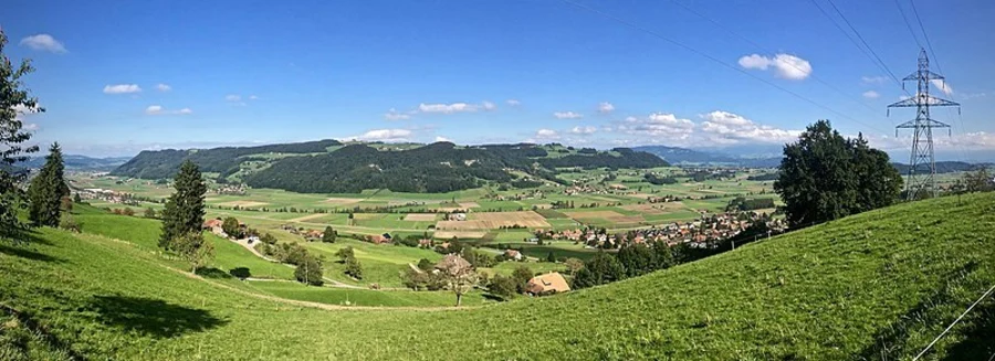
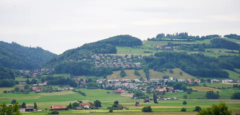
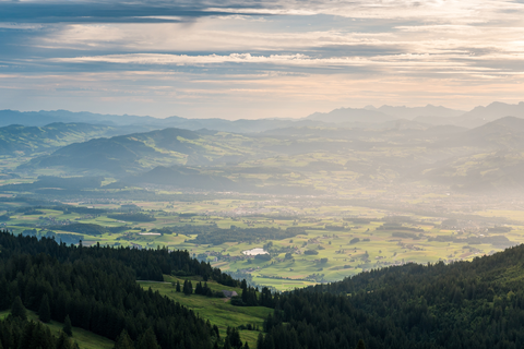
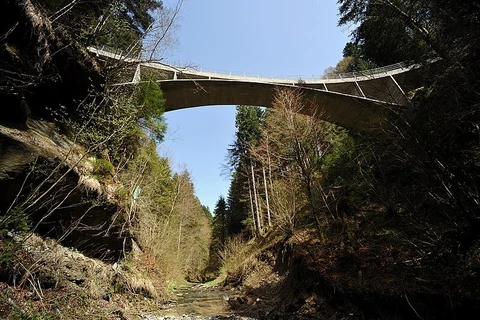
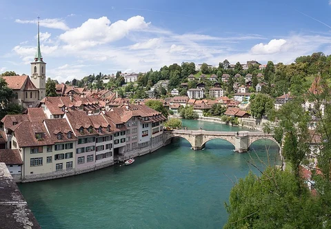
Check out some of the best hiking, walking and backpacking routes in Bern-Mittelland administrative district, Switzerland. The Gürbetaler Höhenweg is the most popular trail. There are trails of various difficulty levels including easy and medium. The trail with the highest elevation climb is the Gürbe-Wildwasserweg and the trail with the least amount of climbing is the Gürbetaler Höhenweg. The longest trail is the Bern to Lützelflüh via Trans Swiss Trail at 25.7 km. For a shorter adventure you can try the Längenberg to Bütschelegg at 5.4 km. Get off line access to Fastfood, Shop, Shelter, and Restaurant locations and much more with a Hiiker subscription.

Be prepared for hiking in Switzerland with the HiiKER app