Download
3D Flyover
Add to list
More
236.5 km
~9 days
848 m
Multi-Day
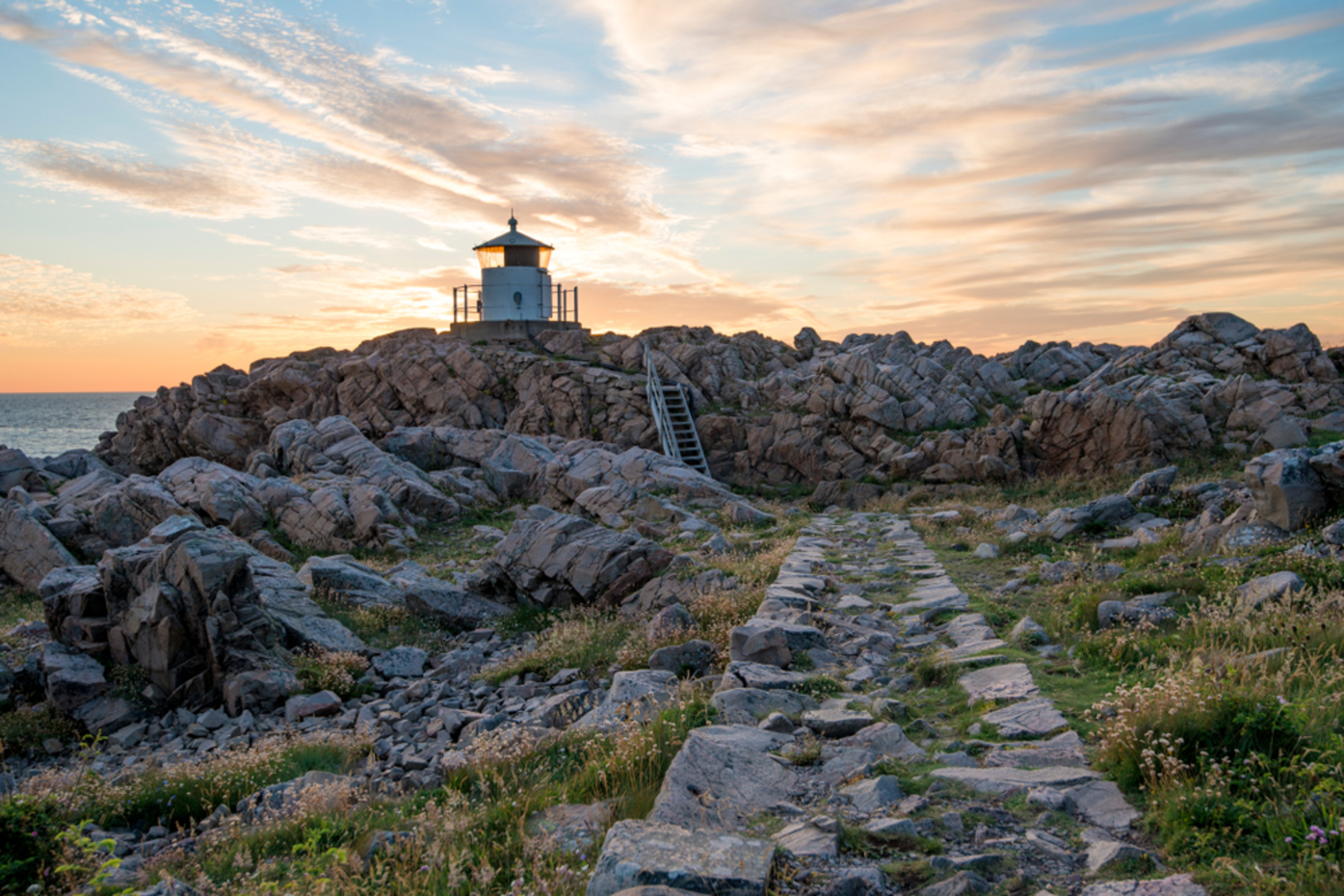
The Skåneleden 5 is a 236.5 km trail that starts in Ängelholms kommun, Skåne County, Sweden. Based on our data, the hike is graded as Easy. For information on how we grade trails, please read measuring the difficulty of a hiking trail on hiiker. Also, check our latest community posts for trail updates. This hike can be completed in approx 8 days. Caution is advised on trail times as this depends on multiple variables. For more info read about how we calculate hike time.

Frequently asked questions
How long is Skåneleden 5 and how many days does it usually take to hike?
Skåneleden 5 is a 236.53 km multi-day route in Skåne County. The official Öresund subtrail is divided into 33 to 34 sections, so most hikers break it into stage hikes over roughly 10 to 14 days, depending on daily mileage and whether the Falsterbonäset loop is included.
Is Skåneleden 5 difficult, and is it suitable for beginner long-distance hikers?
Skåneleden 5 is generally considered easy, with only 848 m of total elevation gain spread across a very long route. That combination makes it one of the more approachable long-distance hikes in southern Sweden, especially for hikers looking for flatter terrain and shorter stage options along the coast.
Where does Skåneleden 5 start and finish on the Öresund coast?
The official SL5 Öresund route runs from Utvälinge, just west of Ängelholm, south to Trelleborg, and it also includes a circular trail around the Falsterbonäset Peninsula. Along the way it passes major coastal areas near Helsingborg, Landskrona, and Malmö, which makes it easy to join for shorter section hikes.
Is there water available along Skåneleden 5?
Water is available at many points along Skåneleden, including springs, pumps, and taps that are marked on the trail maps. Water quality is tested, but conditions can change during the hiking season, and some locations may be posted as needing boiling before drinking.
Are there shelters or campsites on Skåneleden 5?
Simple campsites with a wind shelter and toilet are available along the SL5 Öresund trail. Many Skåneleden shelters are small, often sleeping about 6 to 8 people, so they work best as basic overnight stops rather than guaranteed large-capacity accommodation.
Can Skåneleden 5 be hiked as day walks instead of one long trip?
Yes. Skåneleden 5 is split into more than 30 signed sections, so it works very well for day hikes as well as a full end-to-end walk. The coastal layout lets hikers choose shorter stages between towns and nature reserves instead of committing to the entire 236.53 km route at once.
Is Skåneleden 5 well marked, or is a map needed?
Skåneleden 5 is part of the wider Skåneleden network and is marked with orange waymarks and signs. The trail is generally straightforward to follow, but a map is still useful for planning section lengths, locating water and shelters, and managing junctions where the route turns away from obvious tracks.
Can Skåneleden 5 be reached by public transportation?
Yes. Large parts of Skåneleden can be reached from towns and cities across Skåne by train and bus, and the SL5 Öresund route is one of the easiest subtrails to access because it follows the coast near urban areas. That makes it practical for one-way day hikes without needing to return to the same trailhead by car.
Comments and Reviews
User comments, reviews and discussions about the Skåneleden 5, Sweden.
average rating out of 5
0 rating(s)