Download
3D Flyover
Add to list
More
162.9 km
~6 days
1542 m
Multi-Day
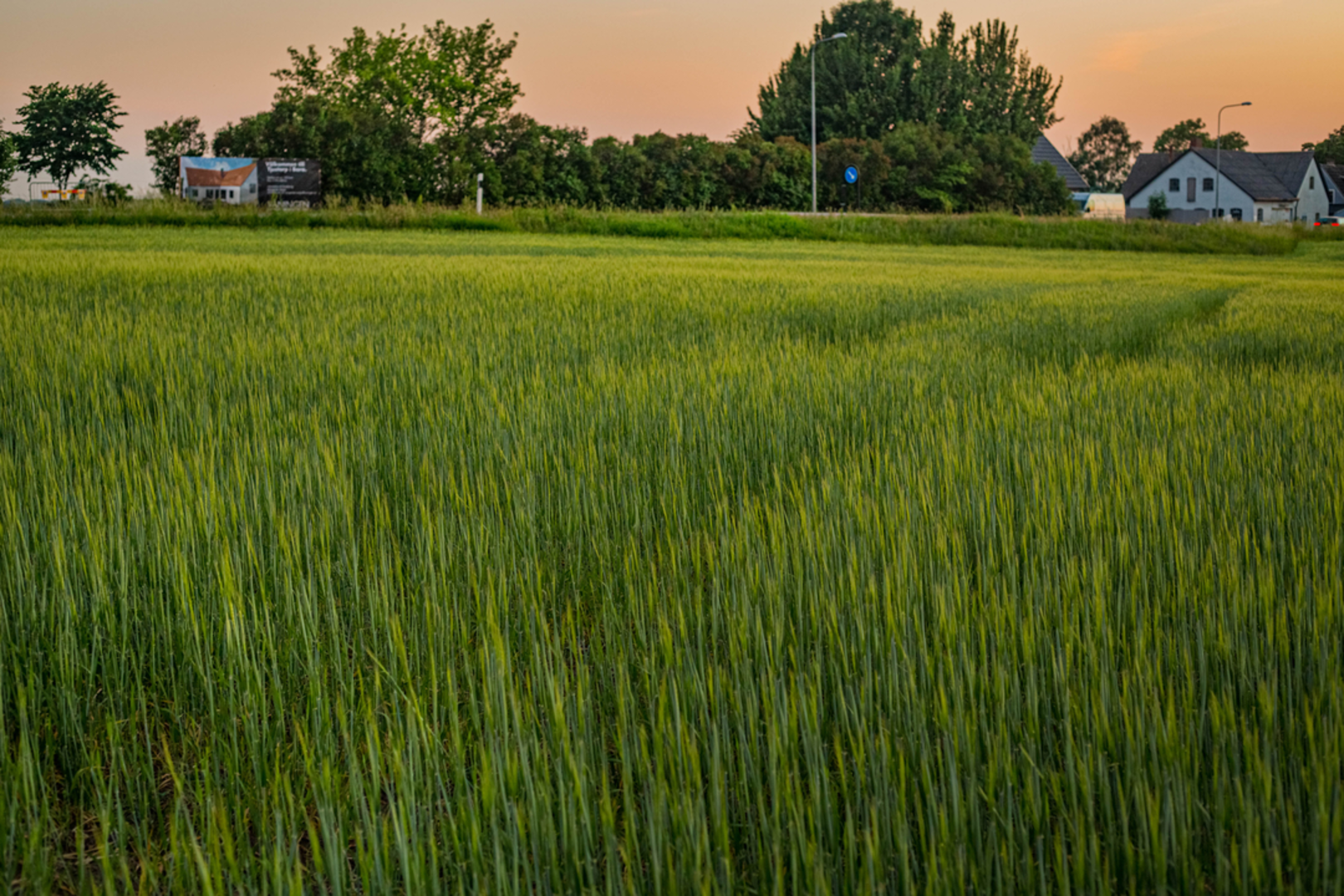
The Skåneleden 3 is a 162.9 km trail that starts in Åstorps kommun, Skåne County, Sweden. Based on our data, the hike is graded as Easy. For information on how we grade trails, please read measuring the difficulty of a hiking trail on hiiker. Also, check our latest community posts for trail updates. This hike can be completed in approx 6 days. Caution is advised on trail times as this depends on multiple variables. For more info read about how we calculate hike time.

Frequently asked questions
How long is Skåneleden 3 and how many days does Skåneleden 3 usually take?
Skåneleden 3 is 162.86 km long with 1,542 m of total elevation gain, so it is a true multi-day route rather than a single long day hike. Most hikers split a route of this length into roughly 7 to 10 days, depending on daily mileage, weather, and how much time is spent around places like Söderåsen National Park and Röstånga.
Does Skåneleden 3 pass through Höör on the route?
Yes. Skåneleden 3 includes stages around Höör, including the Höör to Bjeveröd section on the SL3 Ås till ås sub-trail. That makes Höör one of the practical access points for joining or leaving the route in central Skåne County, especially for hikers breaking the 162.86 km trail into shorter sections.
Does Skåneleden 3 go through Röstånga and Söderåsen?
Yes. Skåneleden 3 passes through Röstånga and through Söderåsen National Park on the SL3 Ås till ås route. One official stage is Söderåsens National Park to Jällabjär, an 11 km section that goes through the park and Röstånga, with landmarks including Kopparhatten, Skärån, Odensjön, and Jällabjär Nature Reserve.
Is there water and shelter on Skåneleden 3?
Yes, Skåneleden states that simple campsites with a wind shelter and toilet are available along the SL3 Ås till ås trail. The trail FAQ also notes that marked water points are tested for water quality, and a typical Skåneleden campsite normally includes a shelter, compost toilet, fire place, wood, rubbish bin, water, and an information board.
Is Skåneleden 3 the same trail as SL3 on Skåneleden?
Yes. Skåneleden 3 corresponds to SL3, the Ås till ås sub-trail of the wider Skåneleden network. Officially, SL3 runs from Åstorp at the foot of Söderåsen ridge to the Brösarp hills in Österlen, so Skåneleden 3 refers to that ridge-to-ridge route rather than SL2 or SL4.
Is there an English map or English information for Skåneleden 3?
Yes. Skåneleden provides English-language information for the trail, including the SL3 Ås till ås pages, and the official FAQ states that the website can be viewed in Swedish, English, or German. Skåneleden also offers paper maps for its sub-trails, so English route planning for Skåneleden 3 is available.
Comments and Reviews
User comments, reviews and discussions about the Skåneleden 3, Sweden.
average rating out of 5
0 rating(s)