Download
3D Flyover
Add to list
More
206.6 km
~8 days
1382 m
Multi-Day
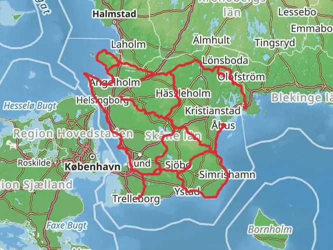
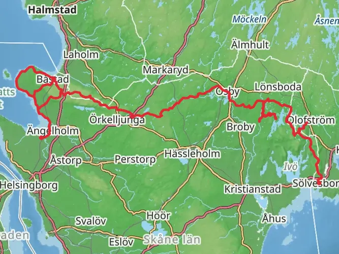
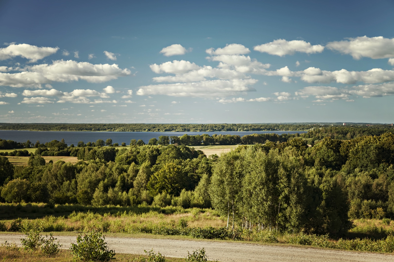
The Skåneleden 2 is a 206.6 km trail that starts in Hässleholms kommun, Skåne County, Sweden. Based on our data, the hike is graded as Easy. For information on how we grade trails, please read measuring the difficulty of a hiking trail on hiiker. Also, check our latest community posts for trail updates. This hike can be completed in approx 8 days. Caution is advised on trail times as this depends on multiple variables. For more info read about how we calculate hike time.

Frequently asked questions
How long is Skåneleden 2 and how many days does Skåneleden 2 usually take?
Skåneleden 2 is 206.59 km long with 1,382 m of total elevation gain, so it is firmly a multi-day route rather than a single long walk. With an easy overall difficulty, many hikers break it into shorter stages over several days, depending on pace, weather, and how often they stop at shelters or towns along the way.
Is Skåneleden 2 difficult, or is Skåneleden 2 suitable for beginners?
Skåneleden 2 is rated easy, which makes it one of the more approachable long-distance options in Skåne County. The main challenge is not steep climbing, since total ascent is 1,382 m over 206.59 km, but the endurance and planning needed for a route of this length.
Can Skåneleden 2 be hiked in stages, or does Skåneleden 2 need to be done all at once?
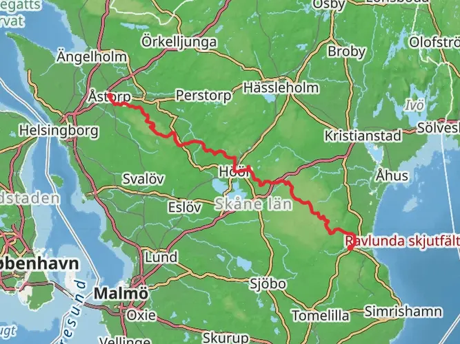
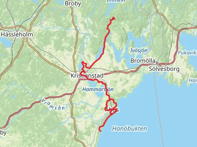
Skåneleden 2 can be split into stages rather than completed in one continuous trip. The wider Skåneleden network is organized around combinations and stage-style planning, and the official trail resources include map tools and printed maps that mark practical details such as shelters, water, food, and other services along the route.
Are there shelters on Skåneleden 2, and can you camp along Skåneleden 2?
Shelters are a regular feature on the Skåneleden system, and simple camp areas with a wind shelter and toilet are available along the network. On Skåneleden, there is often only one shelter at a campsite and it typically holds about 6 to 8 people, so overnight planning matters on busy dates.
Where can I find a map for Skåneleden 2 with shelters and services?
Skåneleden has an official map tool that lets hikers filter by distance and difficulty and see practical features such as shelters, water, and places to eat. Printed maps are also available for Skåneleden, and those maps mark shelters, water sources, food, accommodations, toilets, and other trail services that are useful for planning a long route like Skåneleden 2.
Does Skåneleden 2 have wind shelters, and what are Skåneleden vindskydd like?
Yes. The Skåneleden network includes multiple wind shelters, and some are architect-designed Arknat shelters placed along the wider trail system. Standard Skåneleden camp areas are usually simple setups intended for overnight use, commonly with a shelter and often practical facilities such as a toilet, while firewood and water may be available at many sites but are not guaranteed at all times.
Can I reach Skåneleden 2 by public transportation in Skåne County?
Large parts of the Skåneleden network can be reached from cities and towns across Skåne, and local train and bus services operated by Skånetrafiken connect many access points. Some sections are easier by car because public transport links are limited, but the trail system is designed so that many hikes can start from or connect back to populated places in Skåne County.
Comments and Reviews
User comments, reviews and discussions about the Skåneleden 2, Sweden.
average rating out of 5
0 rating(s)